The ‘Wild Side’ of Pikes Peak

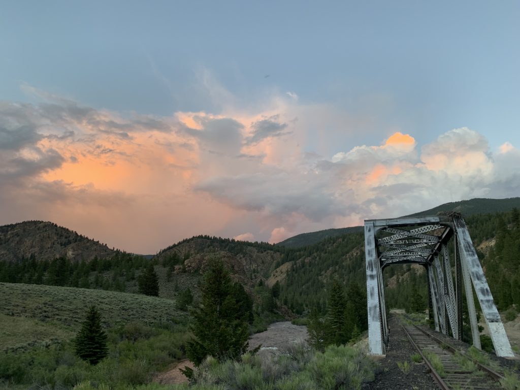
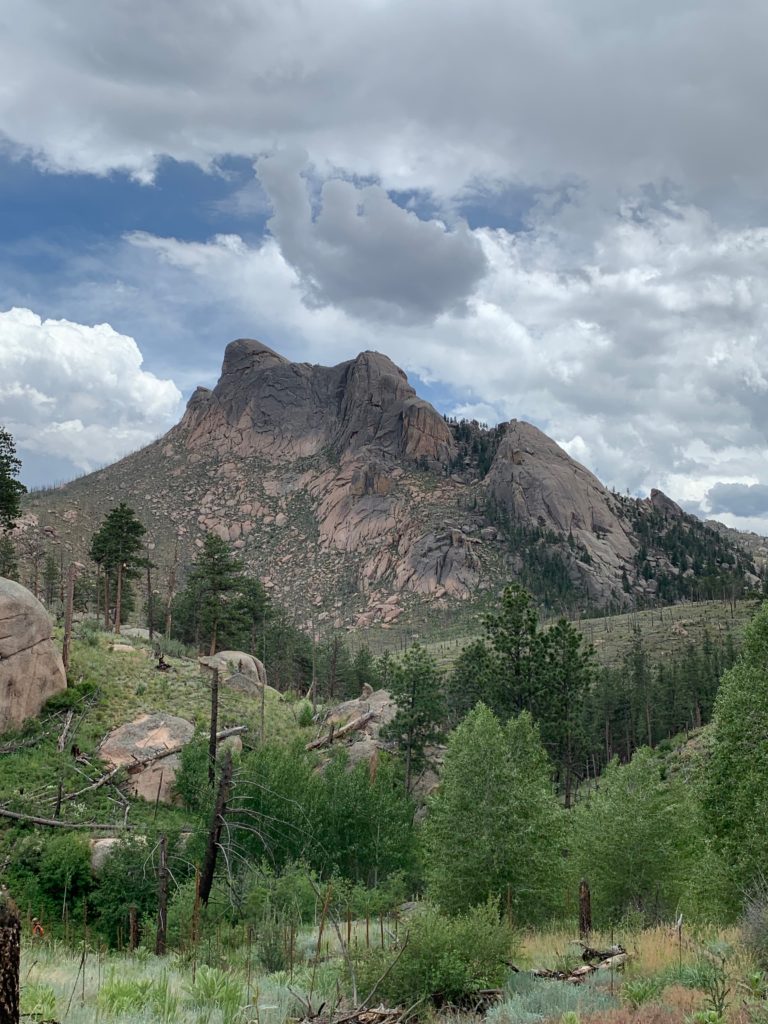
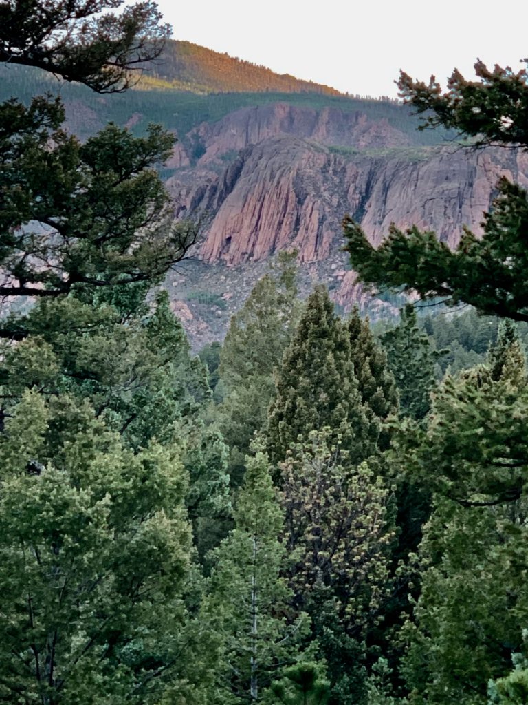
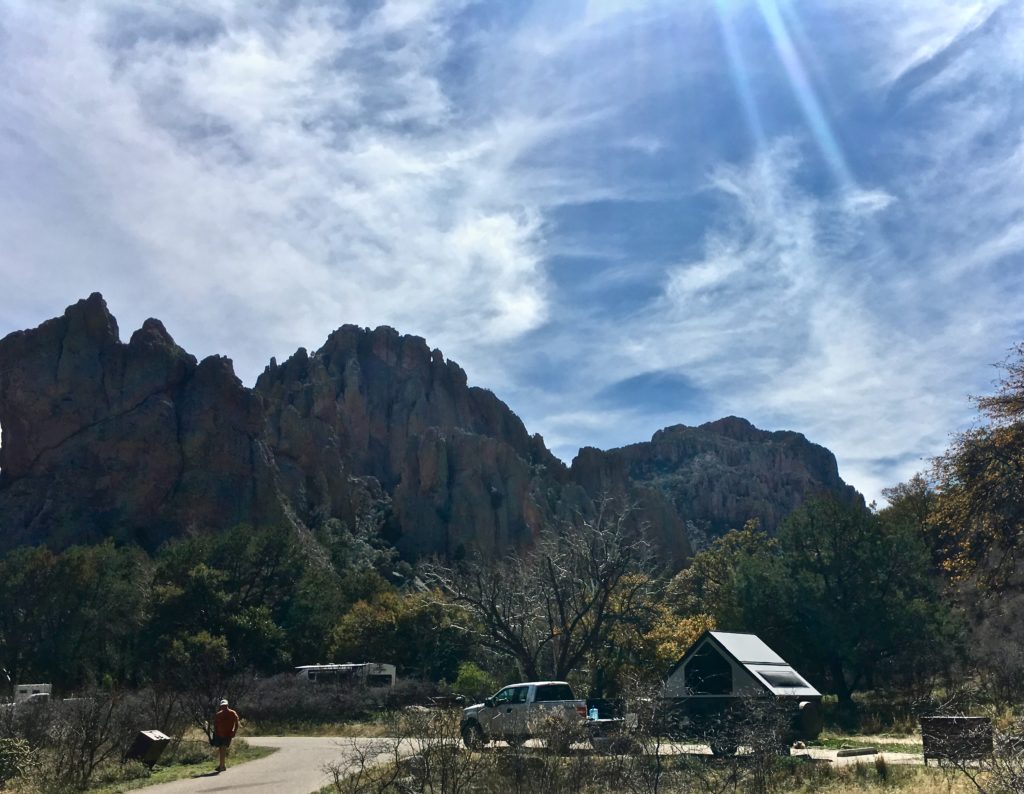
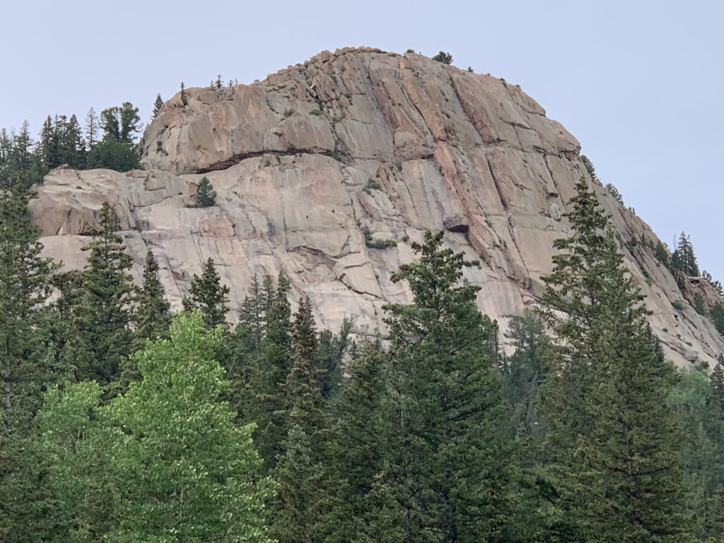
Thunder bounces off the granite back of Pikes Peak Mountain in Colorado rattling my camp and my bones. Lighting splinters the peace of cascading streams in the spruce and pine forest fringing the sheer cliffs and jagged trails of The Crags of Colorado.

Electrical storms in the highlands of central Colorado powerfully ricochet from rock to rock creating a cacophony so intense the area has been dubbed The Devil’s Playground.
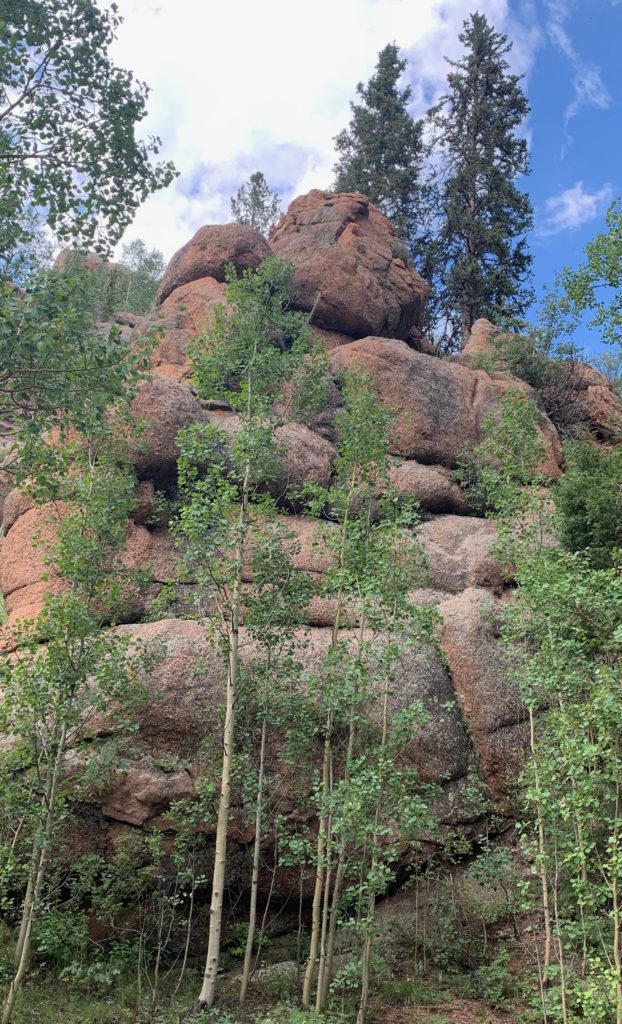
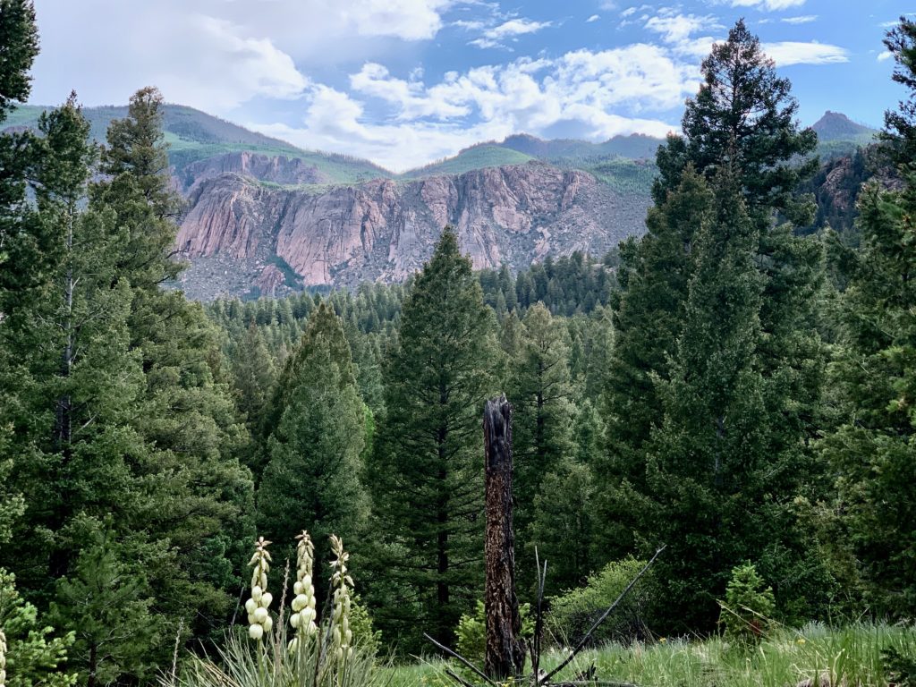
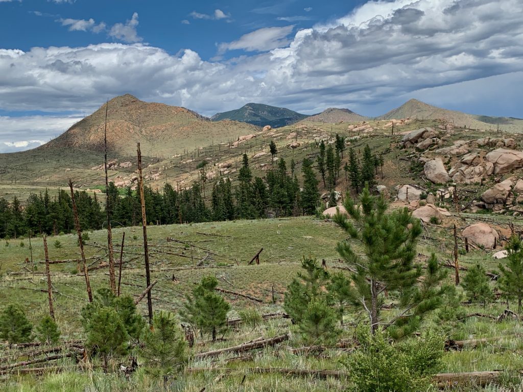
The northwest peak area has a reputation as the “wild side.” Life is steep and jagged near Ute Pass and can seem impenetrable with deep shadows, and massive, rounded boulders perilously eroded and impossibly stacked.
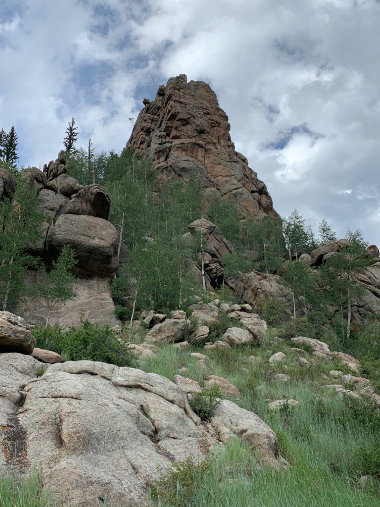
Storms That Make My Ears Ring

Thunder booms catch my breath in this precarious boulder balance. For just a breathe everything stops while instinct takes over.

Over the years I’ve tried to train mountain thunder as a Call to Prayer practice of many religions. There is typically a sound that indicates it’s time to stop life for a bit to pray and reflect.

Thunderstorms bouncing through the valley is my cue. Instinctually it immediately focuses all my senses in the moment to breathe, assess, then lean into it in the deep peace, trusting all is well. If I actually need to take action that direction will come in the calm too.

Typically my best strategy is to get to shelter, relax, and ride it out. In a hyper-aware state, it can be difficult to chill out. That’s where meditation practice pays off with a conditioned response, releasing lovely biochemicals that lower heart rate and respiration, and clear and center the mind – like Pavlov’s dog.

That deep, meditative peace floods my being, allowing me to be present with whatever is going on – even if just for a moment. It’s big medicine for my body, not to mention mind and spirit, especially if I’m nervous.

Home Sweet Home

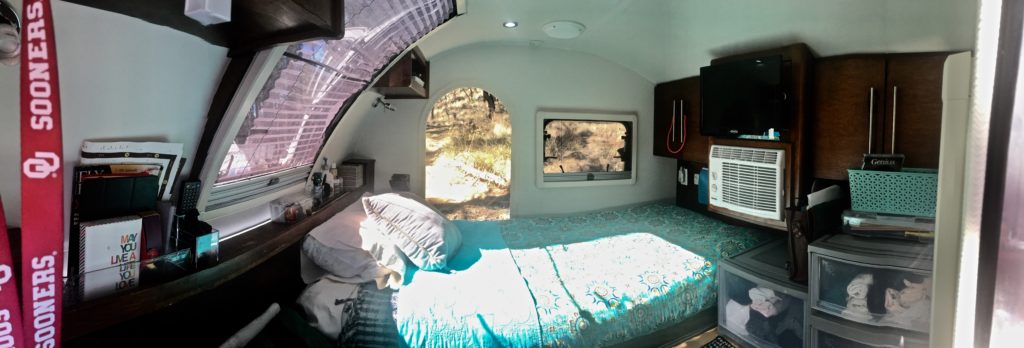
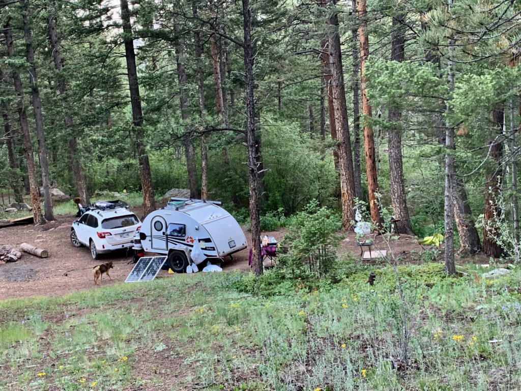
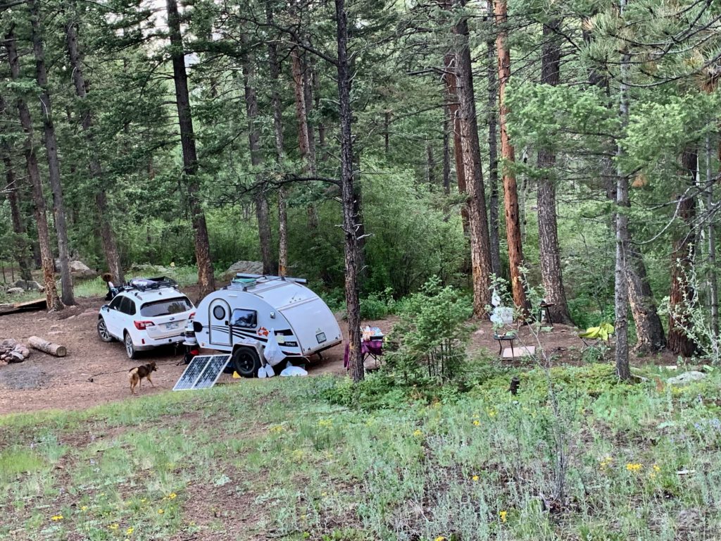
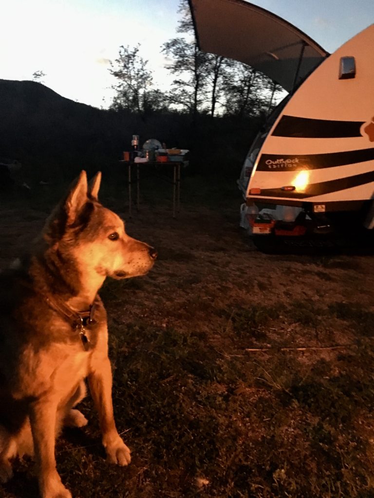
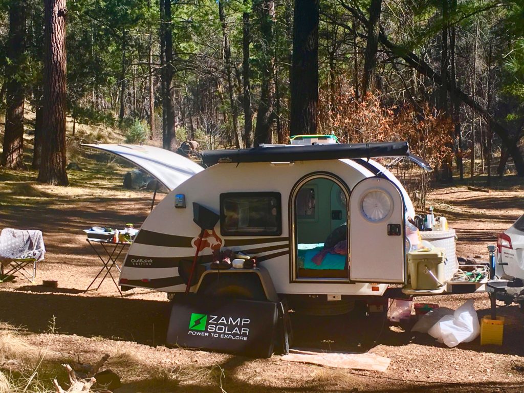
A tiny but sturdy, and cozy teardrop trailer is also prime real estate in intense mountain thunder, lightning, and rain. Especially when I remember my nights in a thin tent. I love waiting for the storm to pass, cocooned in the pod with Rocky and a good book listening to the rain on the metal roof. It’s a simple joy in retirement and I cherish it, even the scary bits.

Built for Rugged, Small Rigs and Tents

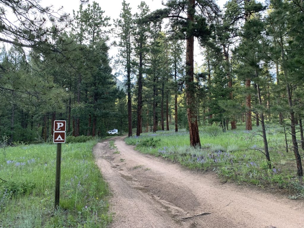
Like most places I love, big rigs will have a difficult go on the rough road to the national forest’s Crags Campground. There are only 3.5 miles of barely passable narrow, rough forest road, but it can take 30 minutes of slow crawling, especially on the private sections. That’s with Subaru Outback’s trusty all-wheel-drive and a teardrop trailer designed for offroad.
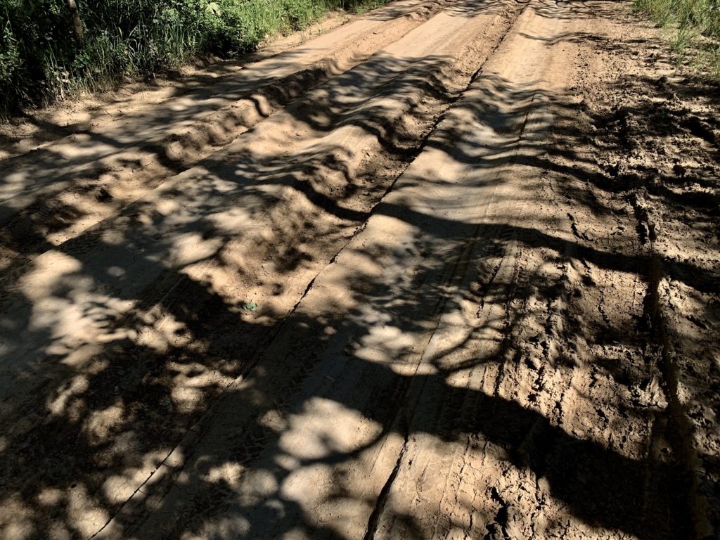
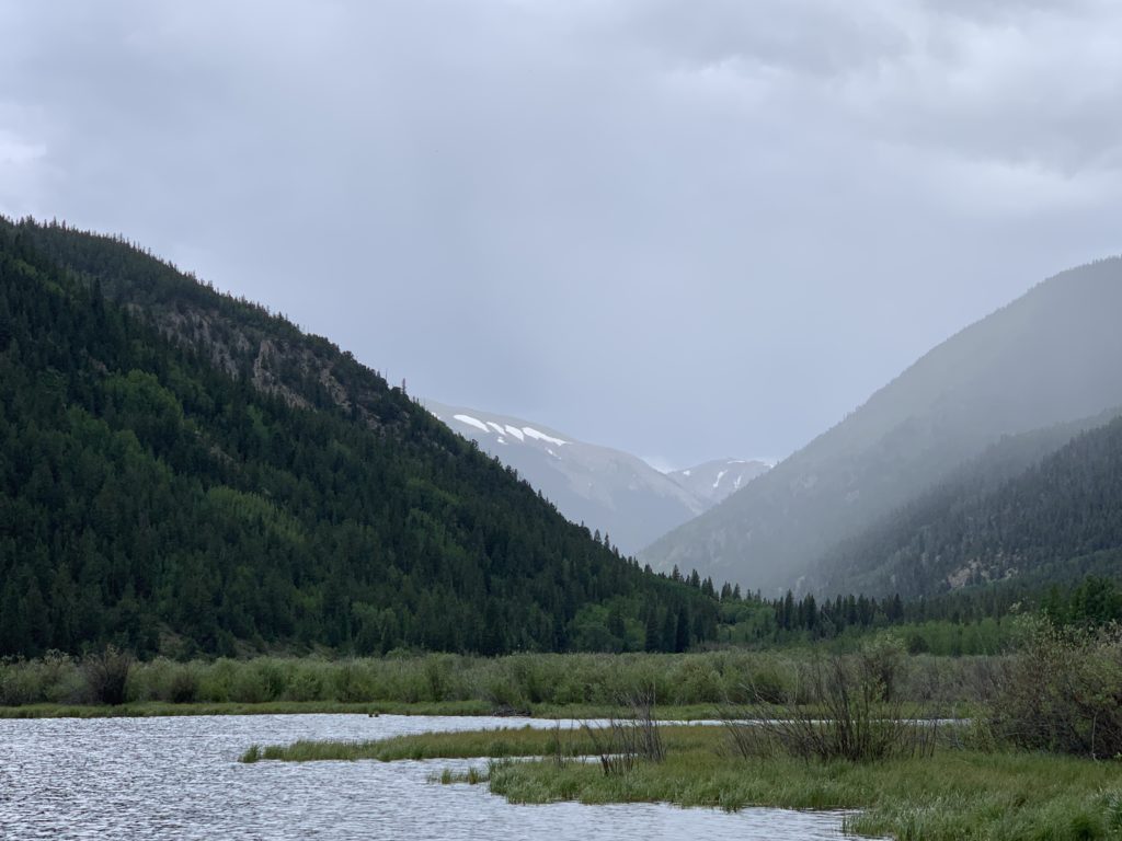
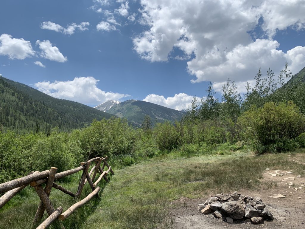
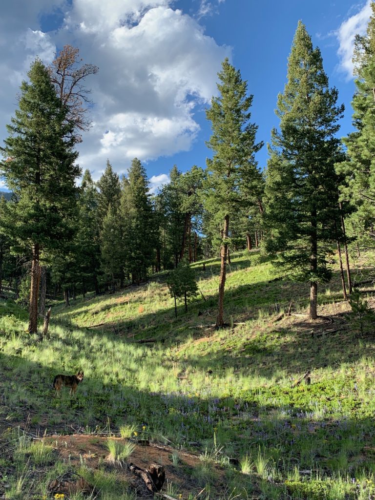
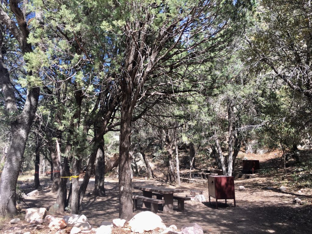
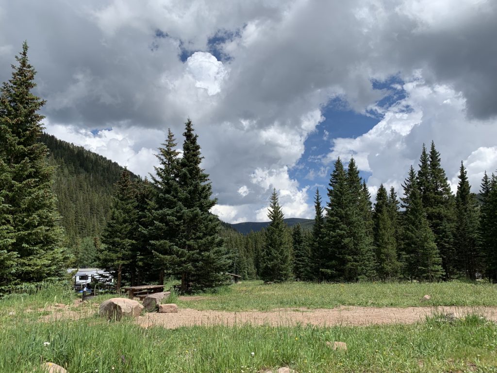
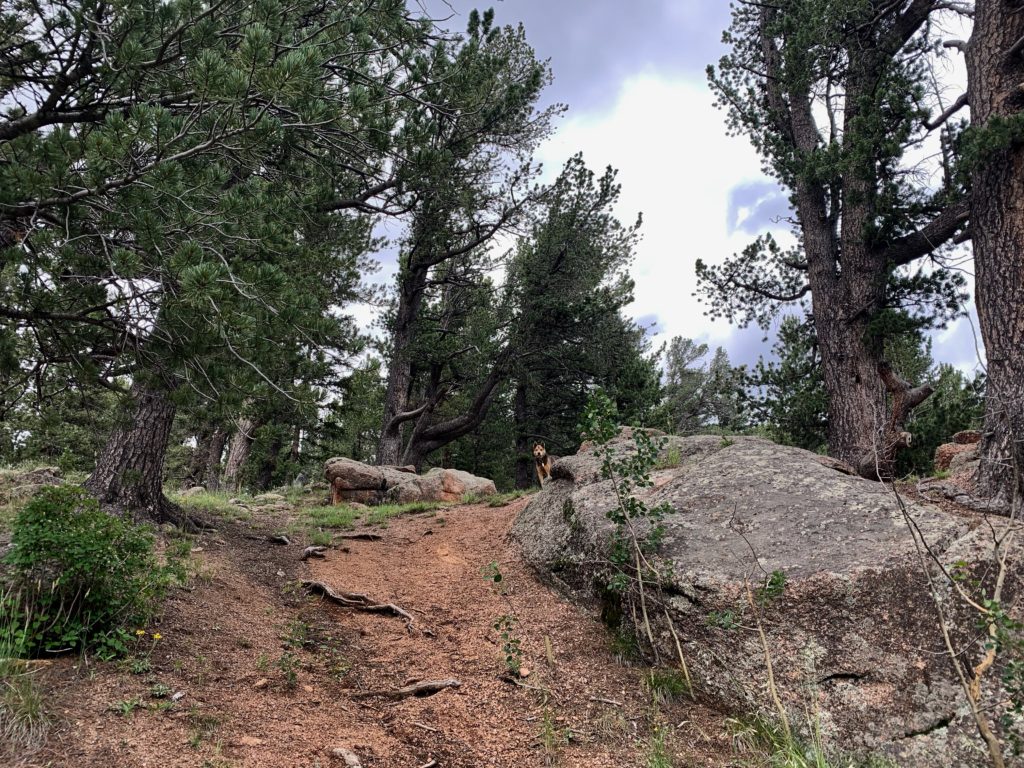
Mixed pine, spruce, and aspen forest shades a primitive, rustic campground tucked into a portal deep into the western slopes of Pikes Peak National Forest.  
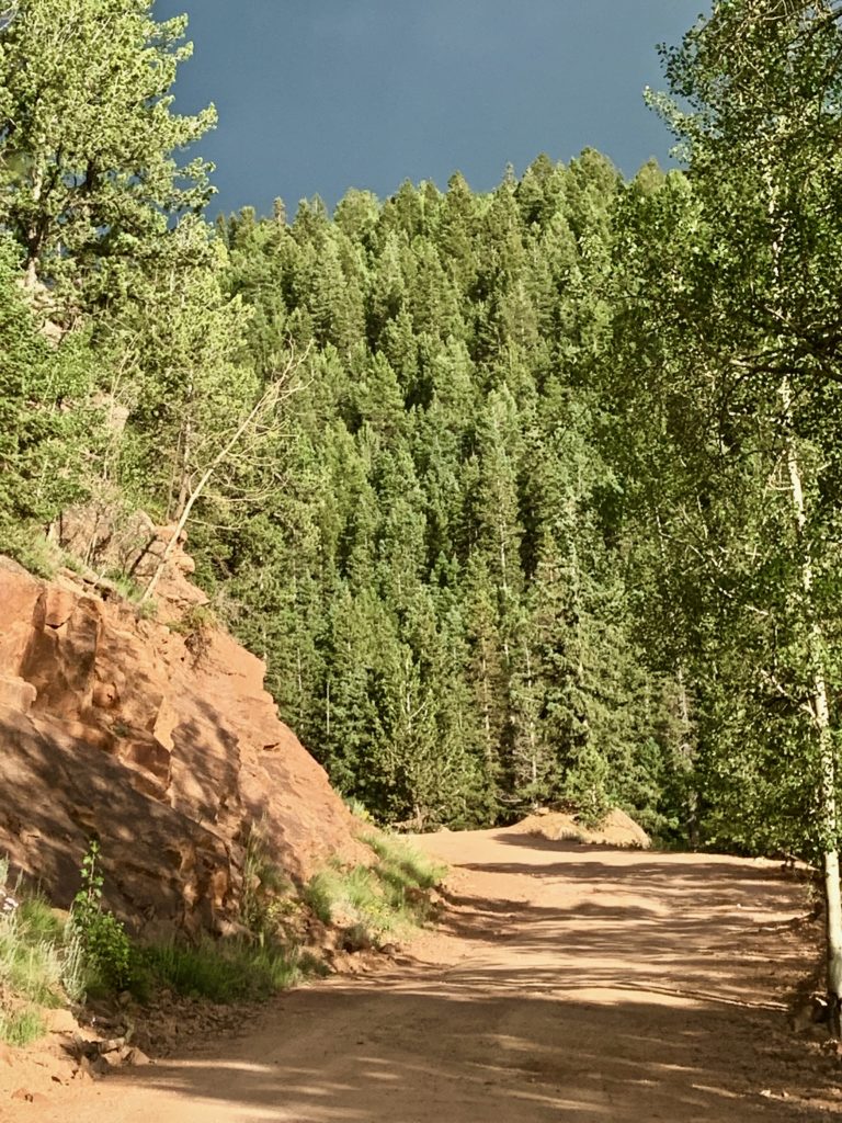
Sites are large, spacious, and relatively private, especially on the ends and outside edges of the grounds.
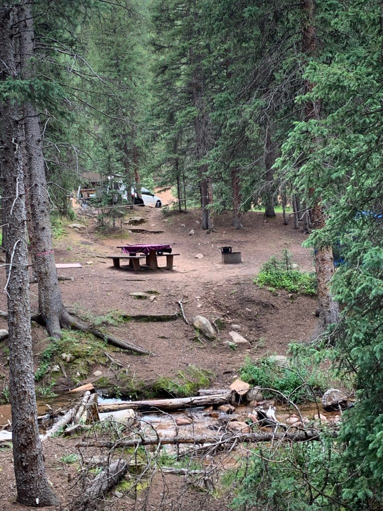
Terracing helps level tent sites on the steep terrain and camp may have two levels like a two-story house. There are a few meadow camps as well, but not as much shade. The sun is intense at almost 10,000-foot altitude.
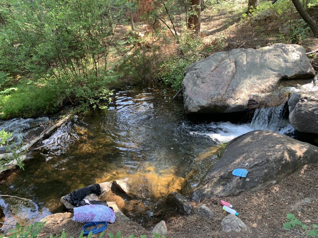
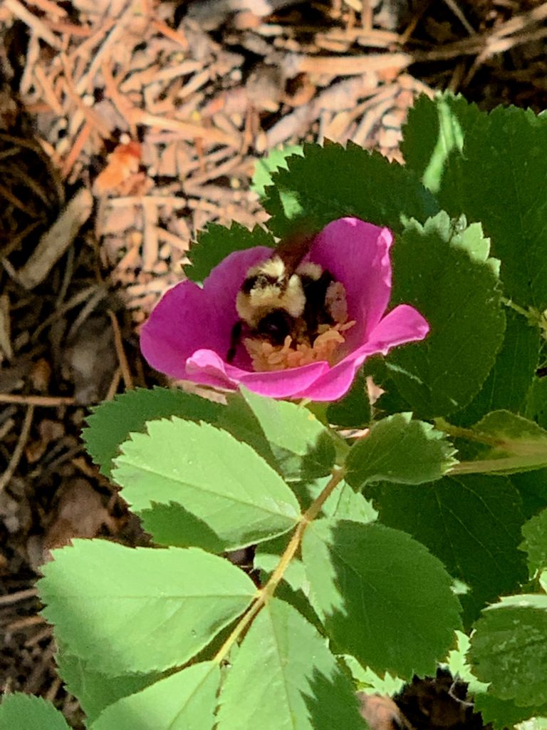
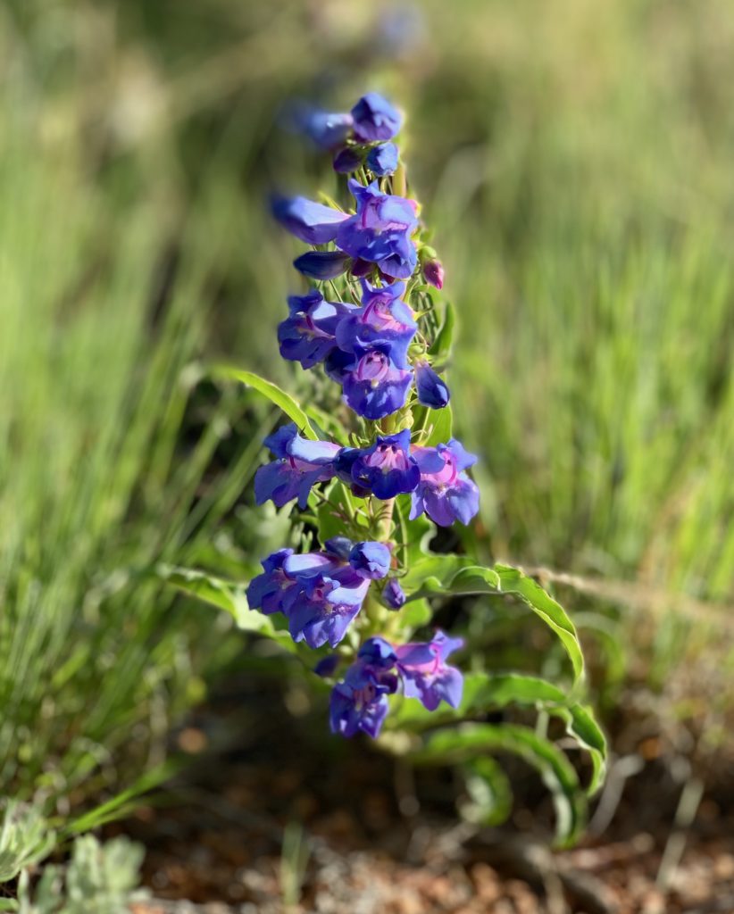
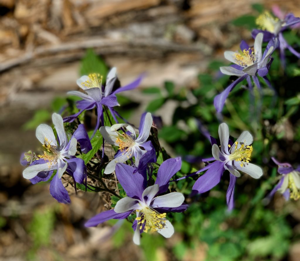
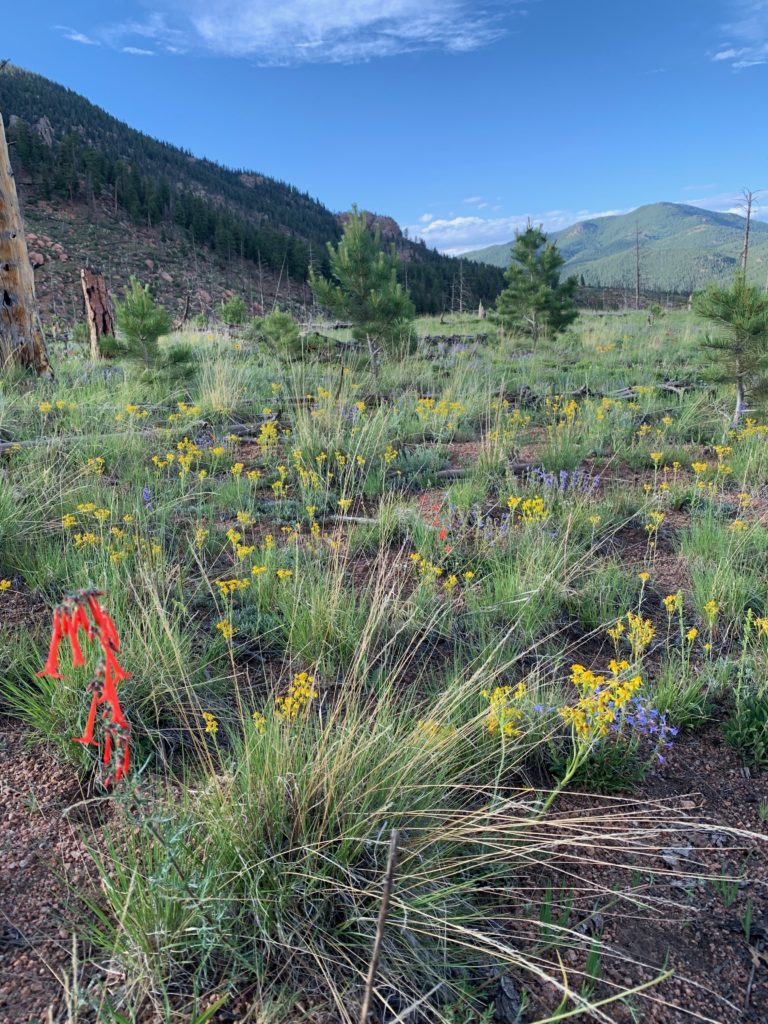
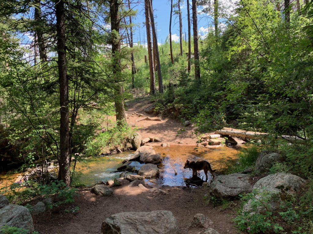
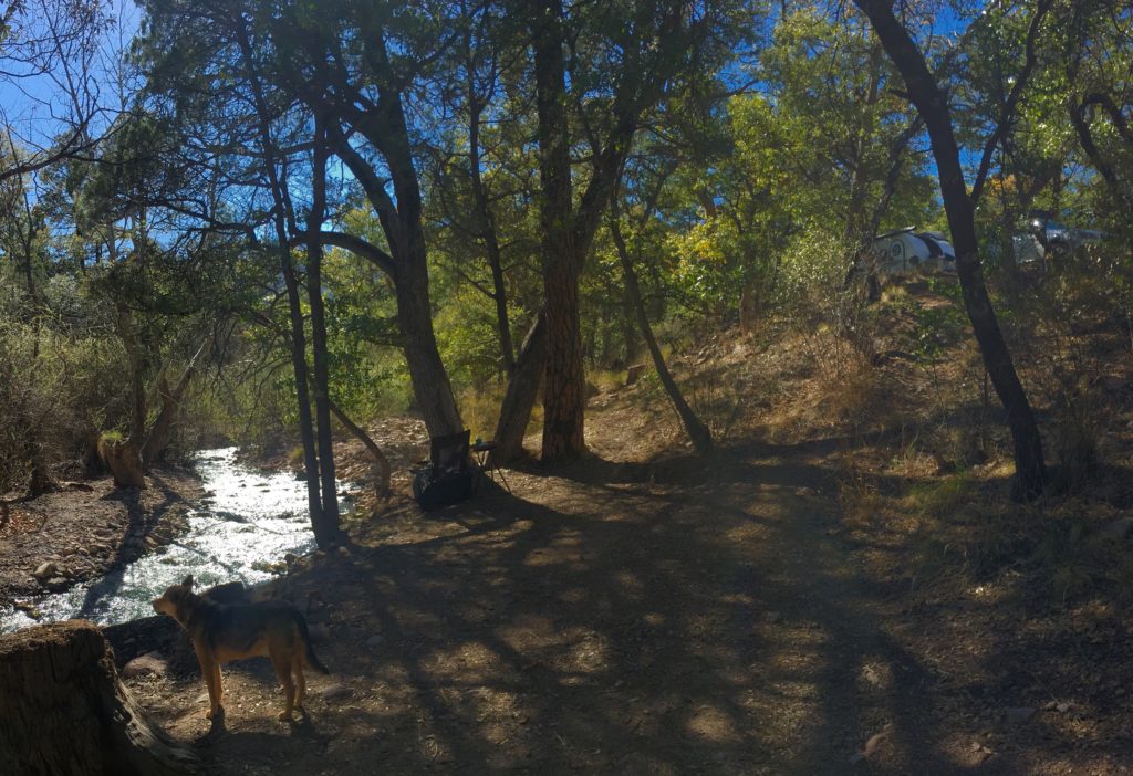
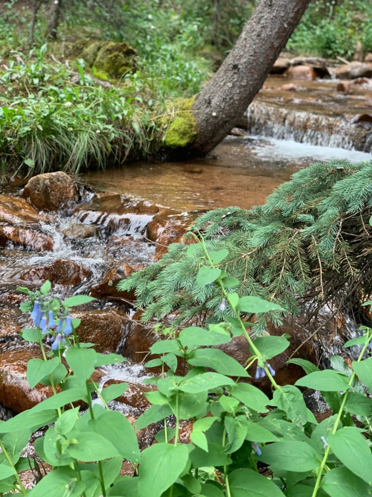
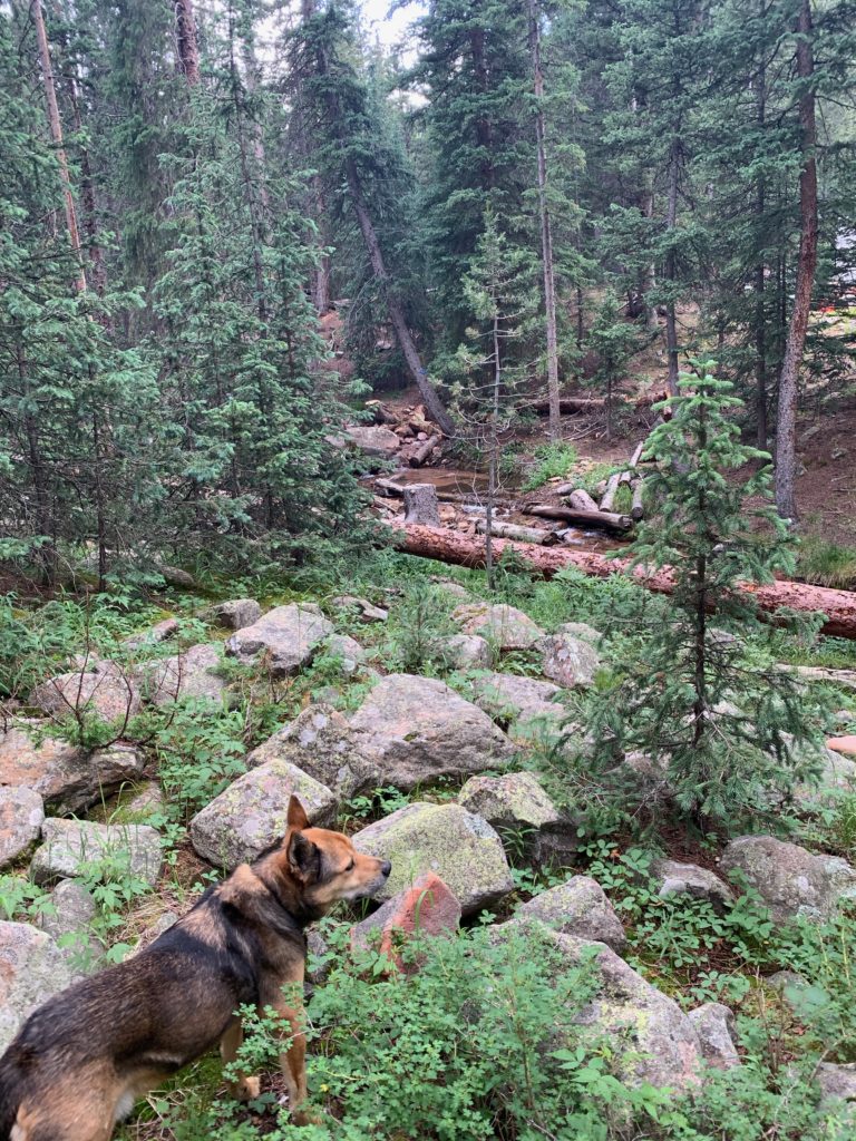
Fourmile Creek gently cascades through the thick forest dotted with small alpine tundra exploding with summer flowers.
The idyllic environment nurtures deep and soothing sleep unless the riotous thunderstorms linger. One onerous night I dreamed I was riding in a stagecoach perilously careening around narrow, steep mountain trails. I woke drenched in sweat, the trailer rocking in high winds, thunder exploding into lightning. There was no calming Rocky in that storm, but I was grateful for his distraction from my own time travel dreams.
Hiker’s Paradise
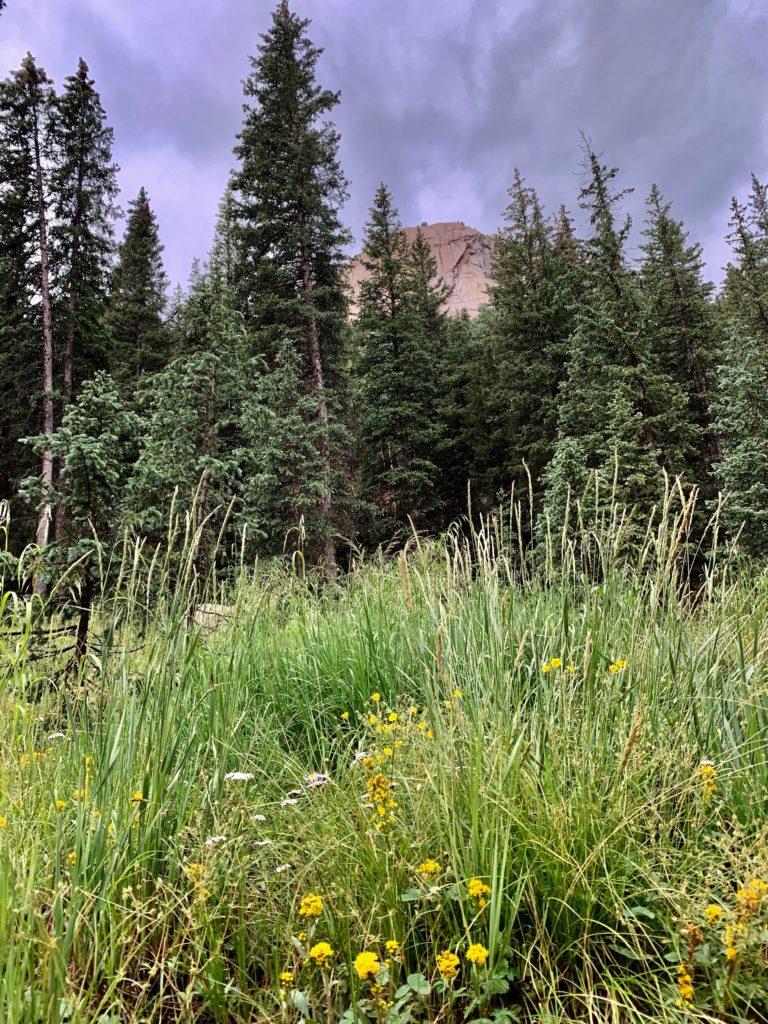
Three hiking trails will satisfy all skill levels. The Crags Trail #664 climbs over 12 miles and 4,000 feet of elevation gain to the summit of Pikes Peak with a newly-rerouted spur Devil’s Playground Trail #753. The design is less vertical and more horizontal with long, winding switchbacks to avoid erosion and make the journey on harsh grades of the fourteener trail easier on hikers.
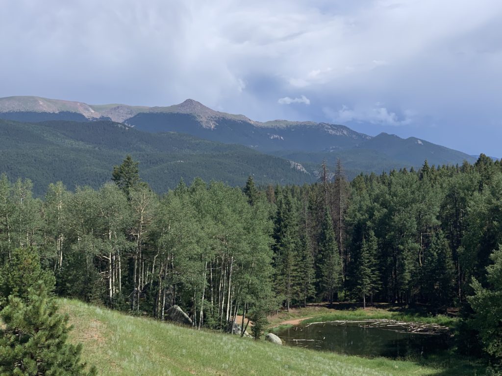
The Putney Gulch segment of Ring the Peak Trail is also located near the campground. A nearly 360-degree view of the Sangre de Cristo and Collegiate Peaks mountain ranges and North Slope Recreation Area reservoirs rewards hikers. 
Access to Gold Medal Fishing
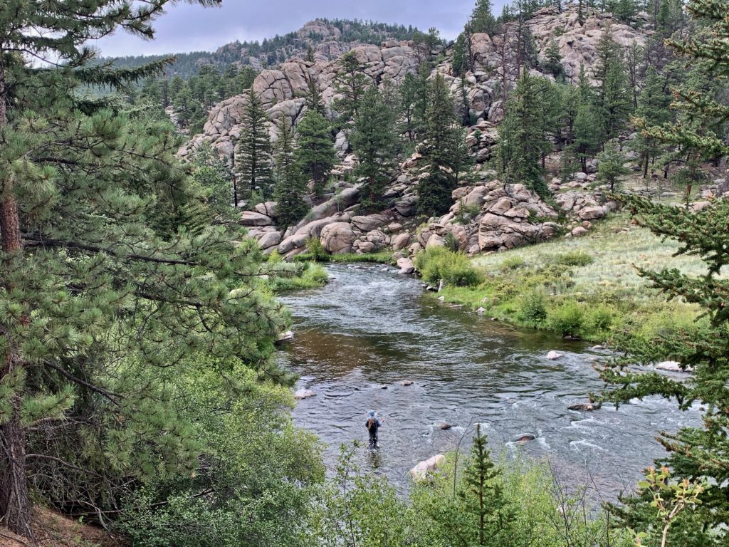
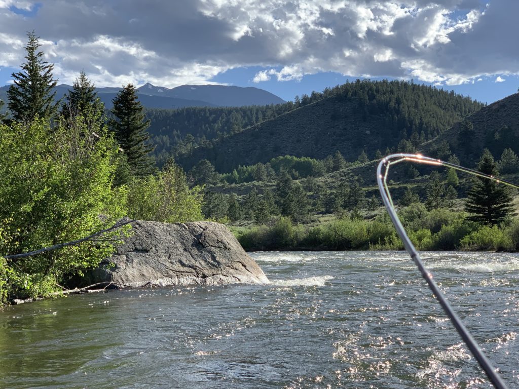
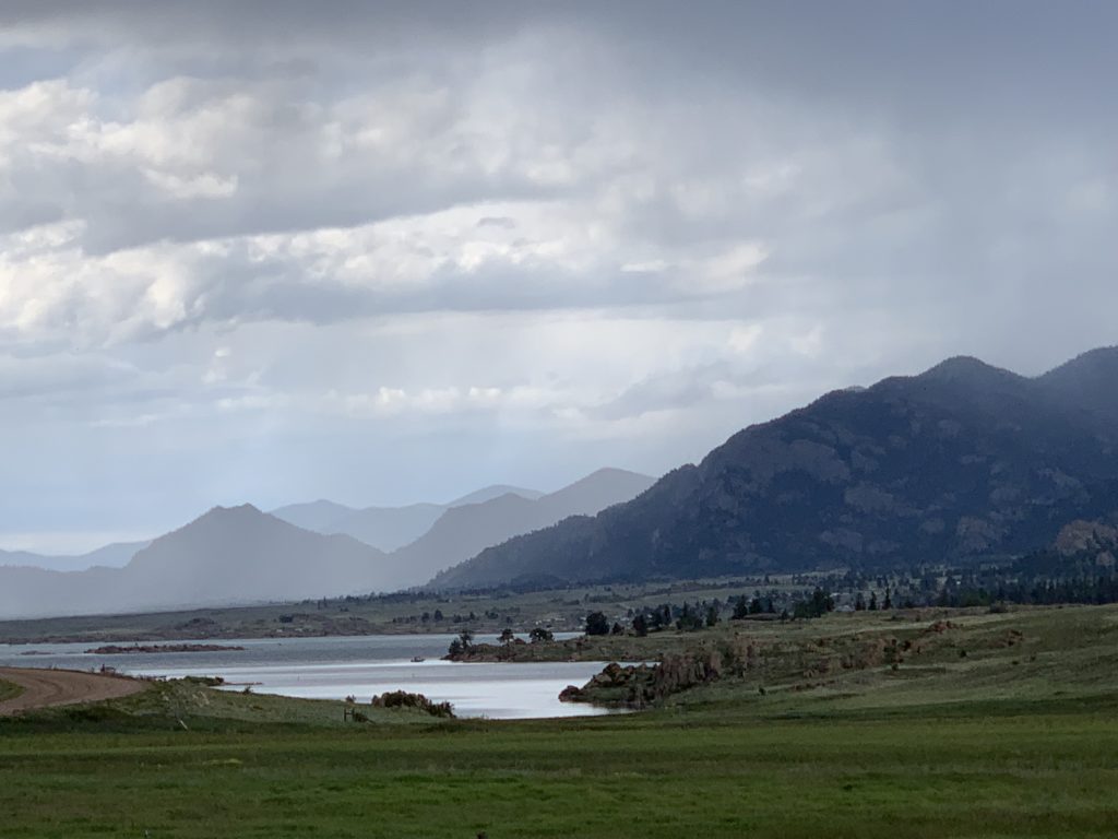
Fly-fishing is less than an hour southwest via US-24 W and Co Rd 96. The popular and highly pressured South Platte River running through the scenic Eleven Mile Canyon will test your skill. If that’s not enough, Eleven Mile Reservoir is above the dam before the canyon on CR 92.
The Crags Campground Specs

The Crags Campground site was designed for tents and small, rugged, RVs and trailers. There are no modern conveniences or electric hookups. There are pit toilets, potable water spigots (the high mineral content can be hard on the stomach), fire rings, and picnic tables. No trash service is provided at the campground, so everything packed in must be packed out. 
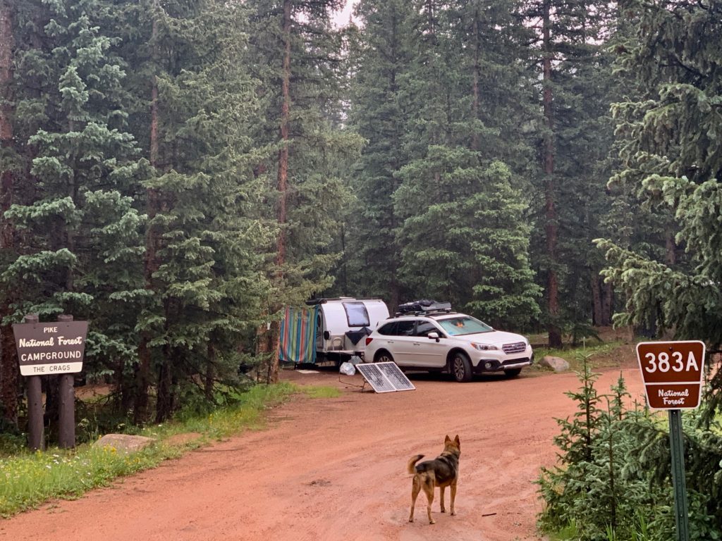
There are also no giant RVs crammed next to each other.

Reservations are not accepted in this first-come, first-served only campground managed by the Pikes Peak District of the U.S. Forest Service contracting with concessionaires to operate the site. Fees are $18/ night although Golden Age and Access Pass holders are usually 50 percent off – depending on the contractors.
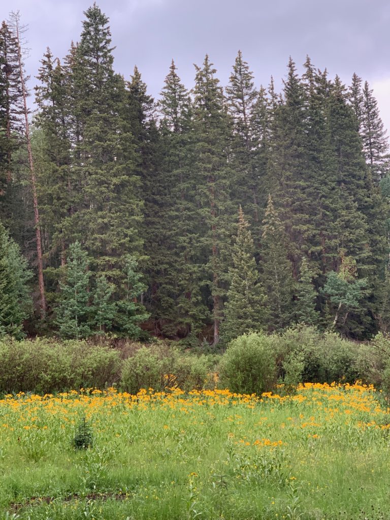
This wild western side of Pikes Peak gets the most snow, so the season is relatively short and wet. Camp opens Memorial Day and closes the end of September – weather permitting.

Dispersed Camping Available in Pike National Forest
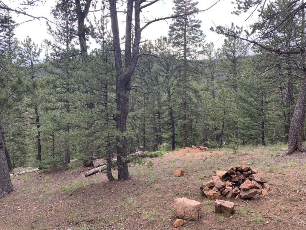
Pike National Forest surrounding Crags Campground has free, dispersed, backcountry camping sites close to the trails but these may or may not be closed depending on the latest conditions and behavior of campers.

Please follow Leave No Trace rules for backcountry camping. It’s definitely an honor code you can live with if it helps keep the backcountry open for everyone.

Motorized vehicles are not allowed in wilderness areas or these hiking trails. Transportation is by foot, paw, or hoof only.
Directions

Crags Campground is tucked into the forest below Pikes Peak east of Mueller State Park. The bustle of burgeoning Colorado Springs seems a universe away even though it’s just over an hour’s drive on a good highway. (Other than the 3.5 final section of very rough forest road.) 
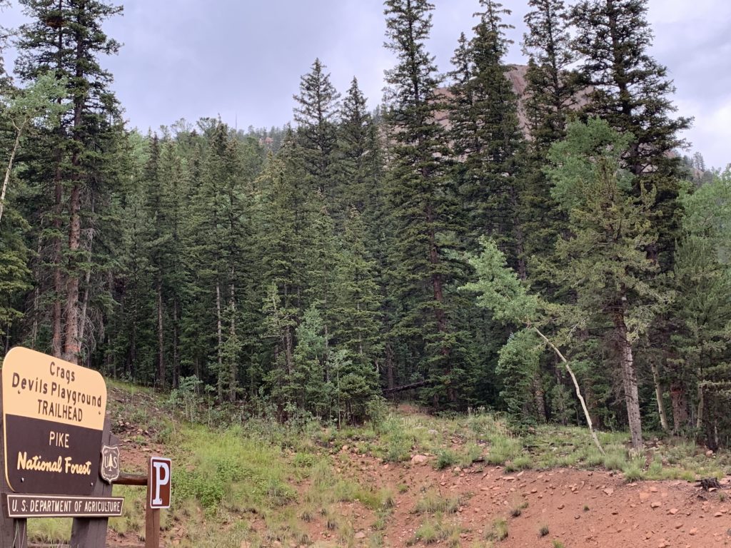
From Colorado Springs, take U.S. Highway 24 west to Divide. Turn left on Colorado Highway 67. Drive 4.3 miles south and turn left on Forest Road 383. Drive 3.5 miles to the east to reach the campground, which is 1/8th mile beyond the large parking area for the Crags trail.
Southeastern Colorado’s Highway of Legends

Scenic Byway 12

Unusual geologic formations, breathtaking vistas, and a rich history are showcased on The Highway of Legends in Southeastern Colorado.

Highway of Legends in Southeastern Colorado

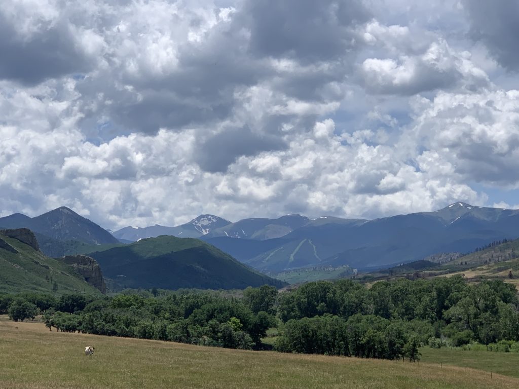
The 70-mile Scenic Byway 12 is easy to navigate and winds through some of the state’s most unique geological formations, peaceful landscapes, and idyllic small towns. Pastoral valley meadows are encircled by towering mountain ranges still capped with snow in late summer.

Highway of Legends in Southeastern Colorado

Scenic Highway 12 loops west of Trinidad then north through Stonewall, Cuchara, and La Veta before ending at Walsenburg. The Culebra, Sangre de Cristo, and Spanish Peaks Ranges in the Los Carlos Ranger District of the San Isabel National Forest provide a constant backdrop of majestic mountains. 

Highway of Legends in Southeastern Colorado
https://www.coloradodirectory.com/maps/legends.html

Spanish Peaks Wilderness and SWA and Cuchara River Recreation Area and Pass provide access to camp, fish, and hunt.  

Highway of Legends in Southeastern Colorado

The Spanish Peaks Wilderness

Photo by Footwarrior

Twin Peaks

Prominent landmarks along the eastern front of the Southern Rockies are the twin peaks of Los Cumbres Espanolos (Spanish Peaks). Known by the Ute and Comanche American Indian tribes as Wahatoya (“the breasts of the earth”) the peaks are where the rain gods create life-sustaining clouds and rain. 

Radial Dikes


Published on Sep 2, 2017 by Don Atwood

Great dikes radiate out of the mountains resembling spokes of a wheel.These were created when molten rock intruding layers of sedimentary rock pressed up and out spreading through radial cracks like wheel spokes. Erosion later revealed the dikes.

Towering up to 200 feet high and 17 miles long, nearly 400 separate dikes have been identified by geologists. 

Highway of Legends in Southeastern Colorado

Camping and Hiking

Highway of Legends in Southeastern Colorado

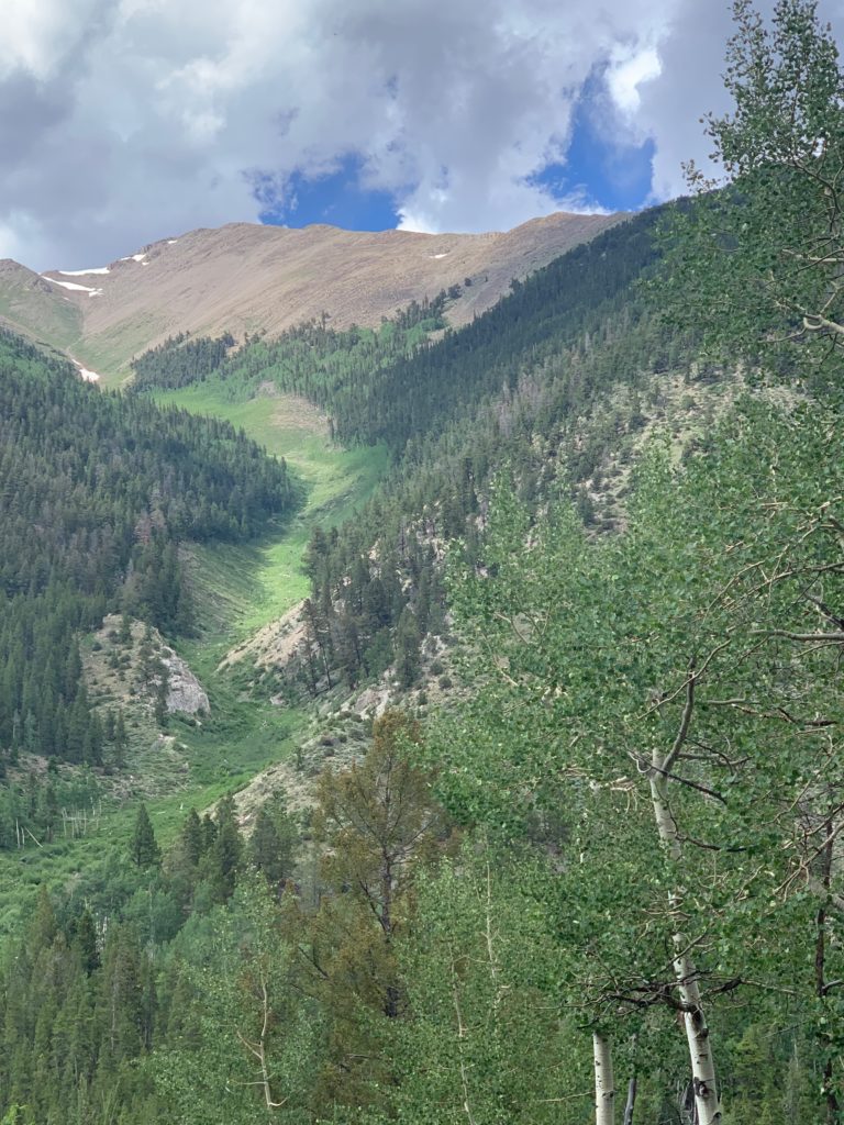
Spanish Peaks Wilderness was established in 2000, encompassing almost 20,000 acres of steep, rough backcountry with little water and few trails. That also means fewer people within the Wilderness boundaries and more vying for campsites.

Highway of Legends in Southeastern Colorado

There are four designated campgrounds and nine trails in Spanish Peak Wilderness Area. All of the camps took reservations and were packed even during the week in late July. Folks lined chairs next to each other fishing both Bear and Blue Lakes.

Highway of Legends in Southeastern Colorado

Close to Heaven and Down to Earth Country Lifestyle

While a true wilderness getaway in public land may be difficult, a day trip through the scenic byway is worth it. 

Highway of Legends in Southeastern Colorado

Most of the land in this area is privately owned and reflects rural lifestyle at its best. Small towns flow with music, art, and festivals creating a relaxed country lifestyle with family-friendly charm. 

Highway of Legends in Southeastern Colorado

Large ranches with green, flower-filled meadows provide ample habitat for herds to graze creating an idyllic landscape and life where people are connected to each other, the land, and Nature’s cycles.

Highway of Legends in Southeastern Colorado

Nature’s Gorgeous Playground in Chaffee County Colorado

Natures gorgeous playground in Chaffee County Colorado will impress outdoor adventurers. 80 percent of the land belongs to the public. The area encompasses Buena Vista (BV), Salida, and Poncha Spring.

The Arkansas Headwaters and More

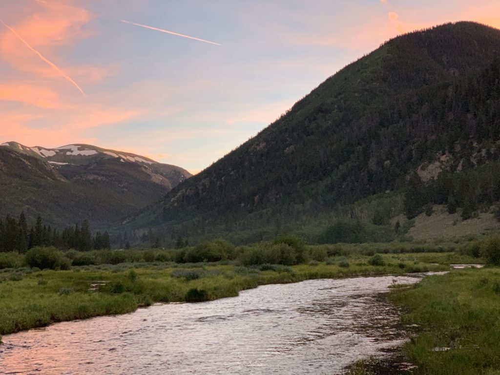
The opportunities to live and play in the county flow around the gold medal headwaters of the Arkansas River, stretching 102 miles from Leadville to Pueblo.

Creeks, tributaries, and streams traverse wide marshy valleys and feed into the Arkansas, Gunnison, and Frying Pan Rivers creating some of the best whitewater rafting, kayaking, and fishing in America.

There are more alpine lakes than anywhere else in the American Rockies.

This area has the highest average elevation of any wilderness area in the United States with 12 mountain peaks reaching over 14,000 feet (a “fourteener”) and a string of 13,000+ foot mountains.

Winter brings over 800 acres of skiing, another 130 acres of hiking , and hundreds of miles of snowmobiling, snowshoeing and sledding.

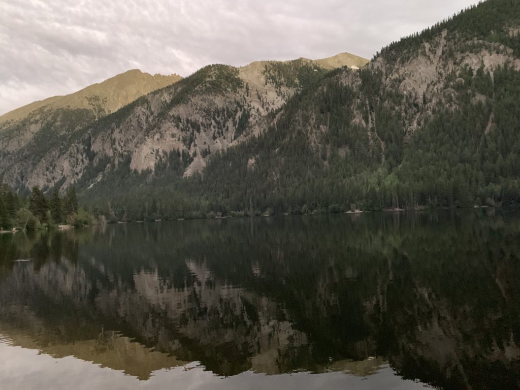
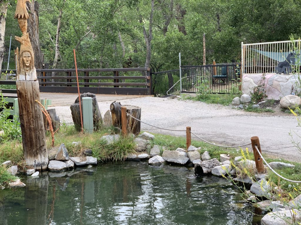
Three hot springs offer healing water, massage, and lodging: Cottonwood, Mt. Princeton, and Salida. My favorite is the more rustic Cottonwood Springs because of its quiet, meditative environment and more natural setting.

Camping Options

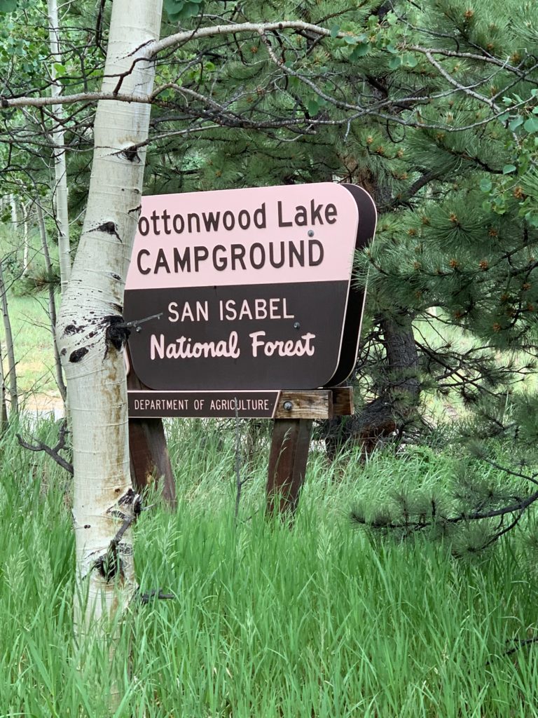
I’ve just barely scratched the surface of this area, but I can recommend the dispersed camping west of HW 285 on FR 162 in the Cottonwood Lake and Creek area north of BV near St. Elmo if you arrive during the week to secure a spot.

There are more people in this part of the San Isabel and Gunnison National Forests and Collegiate Peaks Wilderness than I prefer, but the scenery makes it worth it – for a minute – if your schedule is flexible.

Unfortunately, Congress did not protect the land until the 1980s and it shows. Houses dot the national forest and wilderness area, and both campgrounds and dispersed camping areas overflow with people in the summer.

Excellent Stewardship of Land Despite Crowds

Kudos to the folks who visit and live in the area, and the government departments in charge of the region. Even though there is less elbow room, the environment is quite pristine.

Not only are the vistas and activities some of the best, it is also inspiring to see people take such good care of this great land.

Wigwam Trail in Colorado’s Lost Creek Wilderness Area

Wigwam Trail in the Lost Creek Wilderness Area offers an intimate rendezvous with Nature on the eastern slopes of Colorado’s Rocky Mountains in Pike National Forest.

Towering, heavily wooded mountain peaks shelter peaceful valleys exploding with the colorful summer blooms.  Rounded granite domes, knobs, spires, and arches tower over pristine creeks and rivers. 

This winter’s heavy snows on the Platte River, Kenosha, and Tarryall Mountain Ranges overflow in runoff streams, suddenly disappear below granite rock piles and reappear a few hundred feet later. This unique feature is why the area is called Lost Creek.

Wildlife is abundant and I rarely saw people although I was plenty entertained.

The area hums with life night and day. Bighorn sheep, deer, elk, and bobcats share the region with black bear. Owls, chickadees, bluebirds, woodpeckers, hawks, and eagles care for hatchlings in early summer nests.

Vegetation includes a variety of pine, aspen, spruce, fir, and alpine tundra. Profuse blooming flowers with a backdrop of piney mountains fill the soul with wonder and gratitude.

Hiker’s Paradise

Wildlife is abundant, people are scarce, and 136 miles of hiking trails traverse this 120,000-acre paradise. Of those trails, 105 miles fall within the wilderness boundary where motorized vehicles are not allowed. 

It’s hoof or foot travel only and Rocky and I had plenty of company, but never saw another human on the trails.

The mountains tower between 8,000 and 12,400 feet in the Lost Creek Wilderness Area in the Pike South Platte and South Park National Forest Ranger Districts between Denver and Colorado Springs.  

Wigwam Trail and Camping

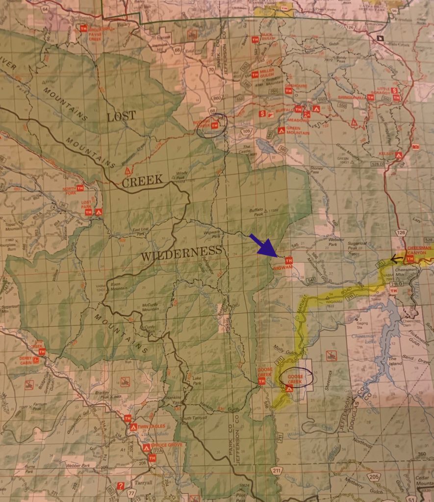
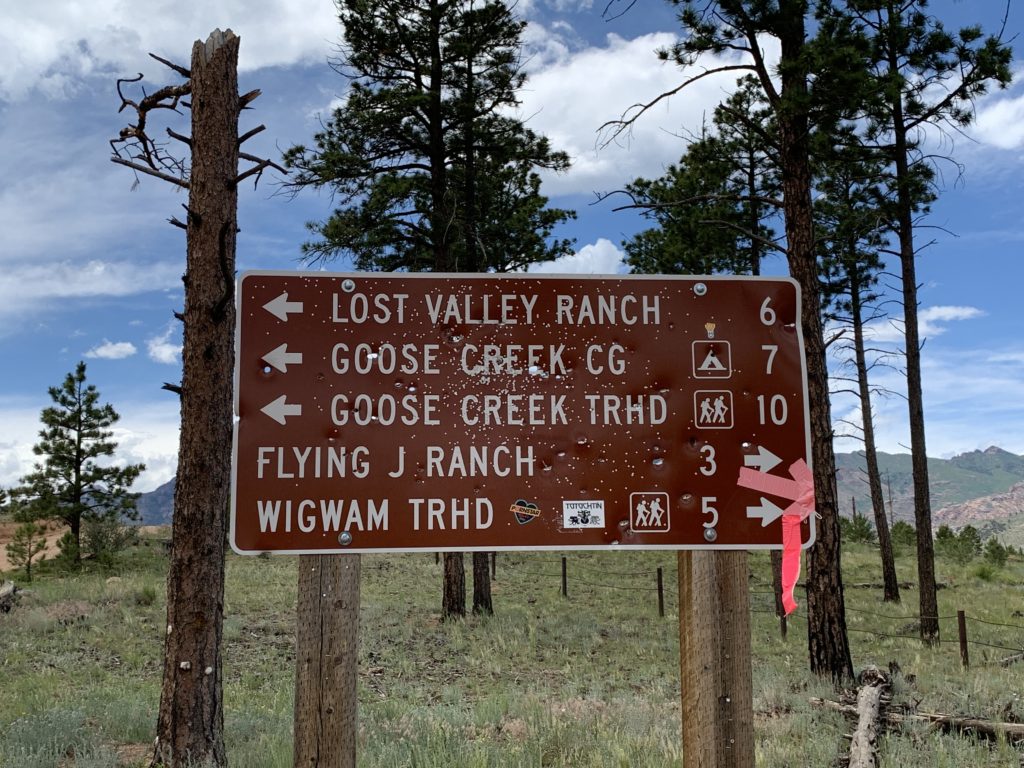
Wigwam Trail (#609) Dispersed Camping and Trailhead is a sheltered, heavily wooded trail paralleling Wigwam Creek through the Lost Creek Wilderness Area.  

This moderate to difficult 11-mile trail has elevation ranges from 8,160 feet to 10,170 feet at Wigwam Peak. 

This trail in the Lost Wilderness Area survived the fires of 2003 intact and now provide shelter for wildlife displaced by the loss of habitat.

Wigwam Trail (#609) intersects the north end of Goose Creek Trail (#612), and the south end of Rolling Creek Trail (#663). It accesses Lost Park Meadow and connects to the McCurdy Park Trail.    

Dispersed Camping

Dispersed camping is available to set up base camp at the edge of the wilderness area. 

Fortunately folks who use this area take great care to practice “Leave No Trace” rules and philosophy, helping preserve this natural wonderland.

Backcountry water is available from Wigwam Creek that parallels the whole length of the trail. Lost Park Campground has potable water.  
How to get there

Coordinates: N 39.244058°, W 105.353329°

From Denver, take I-70 west to C 470 to US 285, traveling west for 23 miles to Pine Junction. Turn left at the town of Pine Junction onto Co 126, toward Pine and Buffalo Creek. Drive 21 .8 miles on Co 126. Turn left, traveling south on FS 211, which leads toward the Cheesman reservoir. Travel 2 miles and bear right at the sign pointing to Goose Creek. Drive 1.1 miles until you reach a fork, bear right on FS 560, and right at the next fork staying on FS 560. Drive 4 miles to the trailhead signs, turn left on FR 545, and drive 1 .3 miles to the trailhead.

A Day in the American Wilderness

Years of planning and many blessings transformed a mindful, minimal, offgrid life vision into reality.

Retirement is an odd word to describe my active, expansive phase of a life unshackled by time and place commitments and free to live my dream each day in the American wilderness.

Living the wilderness dream

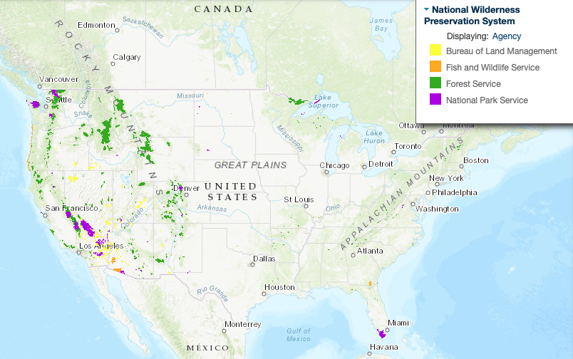
Much of America’s designated wilderness areas are within our National Forests, Parks, Bureau of Land Management, and Fisheries and Wildlife Systems.

For me, that dream is unlimited access to wilderness. The real wild. In our country, almost five percent of public land is designated wilderness

Map created by
Wilderness Institute at the University of Montana’s College of Forestry and Conservation. 

America’s Wilderness Preservation System protects the natural, wild condition of over 109 million acres in 803 wilderness areas. That’s about the size of California.

It’s not quite my “unlimited access” dream, but better than nothing! As more people return to minimalist lifestyles perhaps we will invest more to protect the American wilderness.

This land was made for you and me

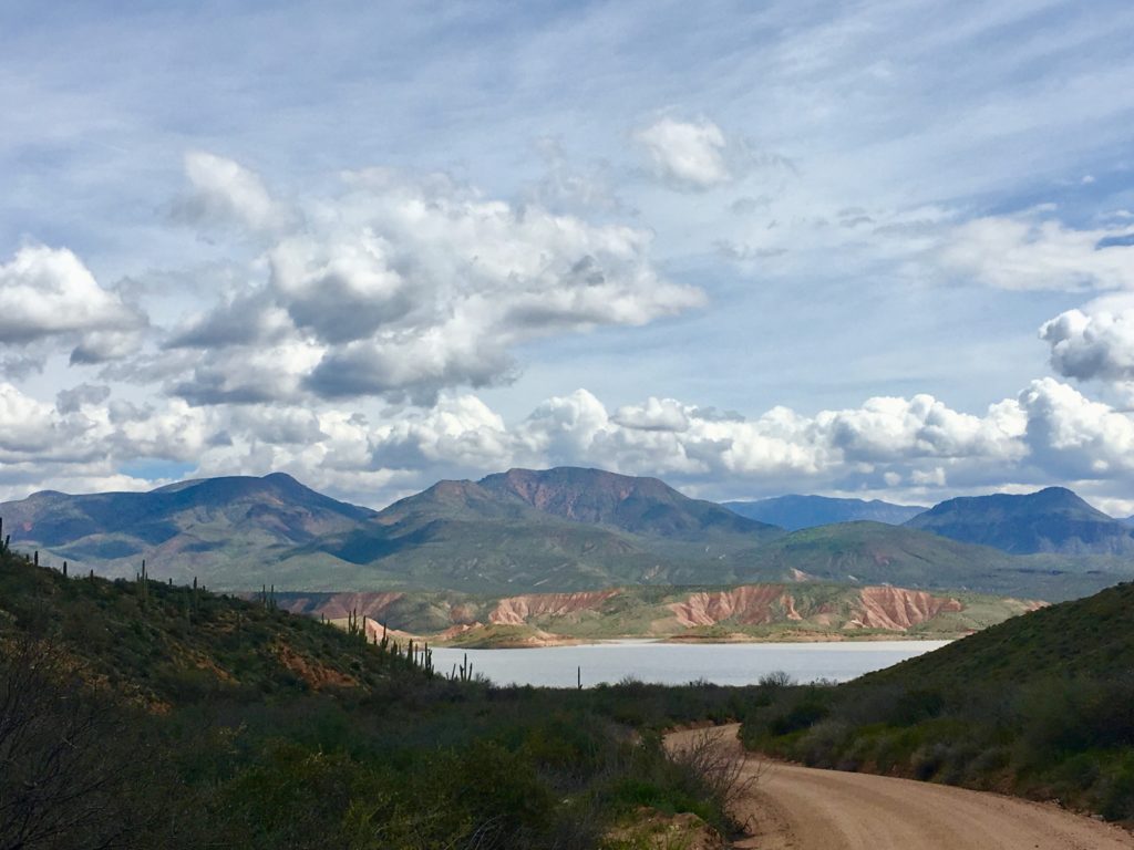
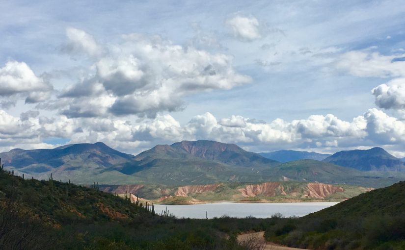
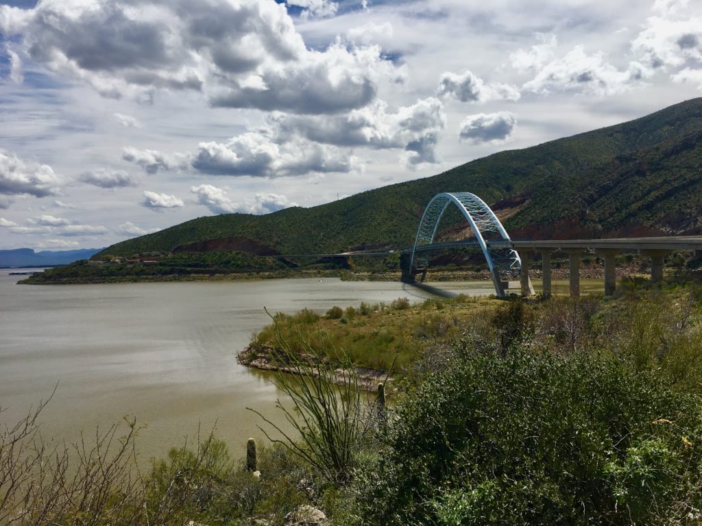
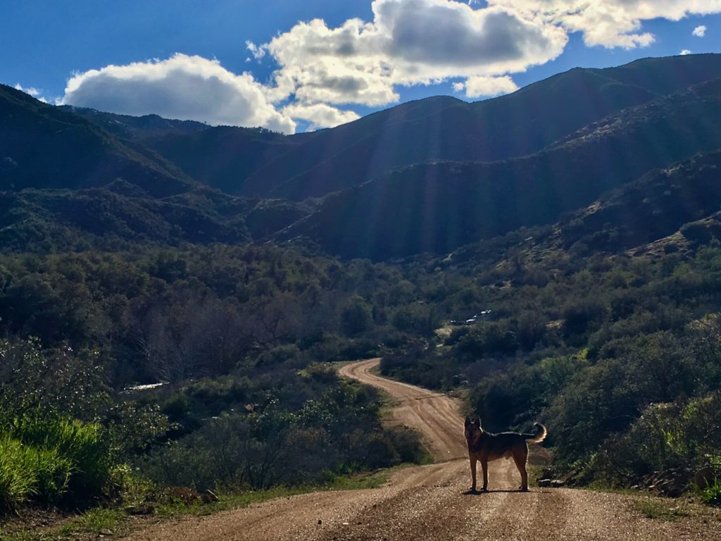
Forest Road near Lake Roosevelt, Arizona.

These public lands are owned by Americans and managed by the federal government (National Forests, Parks, Bureau of Land Management, and Fisheries and Wildlife Systems.) Access is typically free.

The Chiricahua National Forest wilderness areas are some of the most biodiverse in the Northern Hemisphere.

Mostly untouched by humans, federally-preserved wilderness areas remain Nature’s stronghold where wildlife flourishes in diverse biozones and climates.

Worth the effort to get there

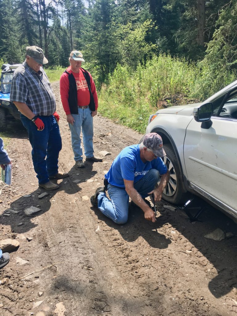
My continued thanks to the West Family of Watertown, South Dakota who appeared within minutes of my need and blanketed me in quiet efficiency, gracious humor, and willingness to make my problem theirs without batting an eye.

Unpaved, often rough national forest roads open access to the edges of America’s most pristine natural settings. Motorized vehicles are not allowed within the boundaries of designated wilderness areas.

Some of the finest people I’ve met have been on the backroads leading to the American wilderness.

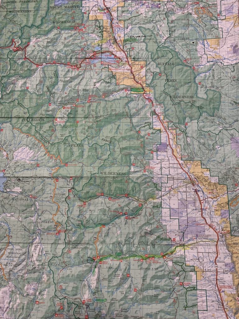
Maps and local resources matter

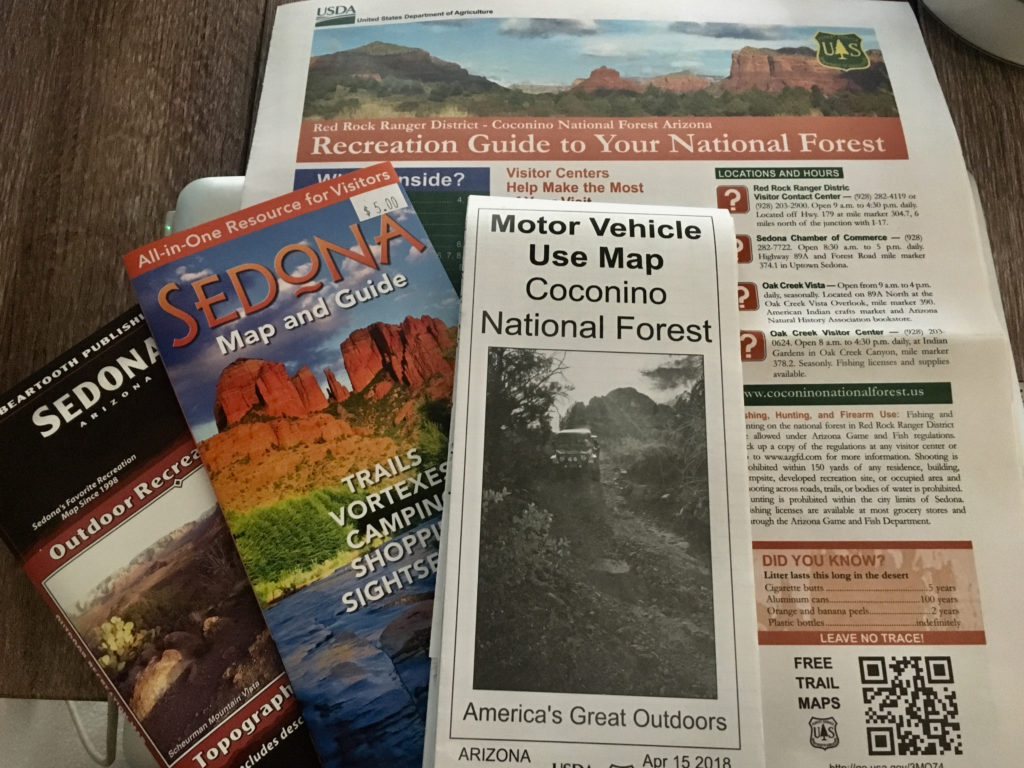
Maps of those roads, trails, and dispersed camping (boondocking) sites can be obtained online and at national forest ranger stations and headquarters.

The National Forest Service provides maps of back roads. Black and white versions are free, while more detailed, topo maps are available for $14. Many other publications are available at ranger stations. Local rangers also know their territory and are happy to share.

Once within the wilderness boundaries, locomotion is by foot or hoof. Motorized vehicles are not allowed. 

Amazing, unexpected amenities

There are no services, but fantastic opportunities to experience our country, our deepest selves, and greatest capacity when we dare to go beyond the comfort zone of civilization. 

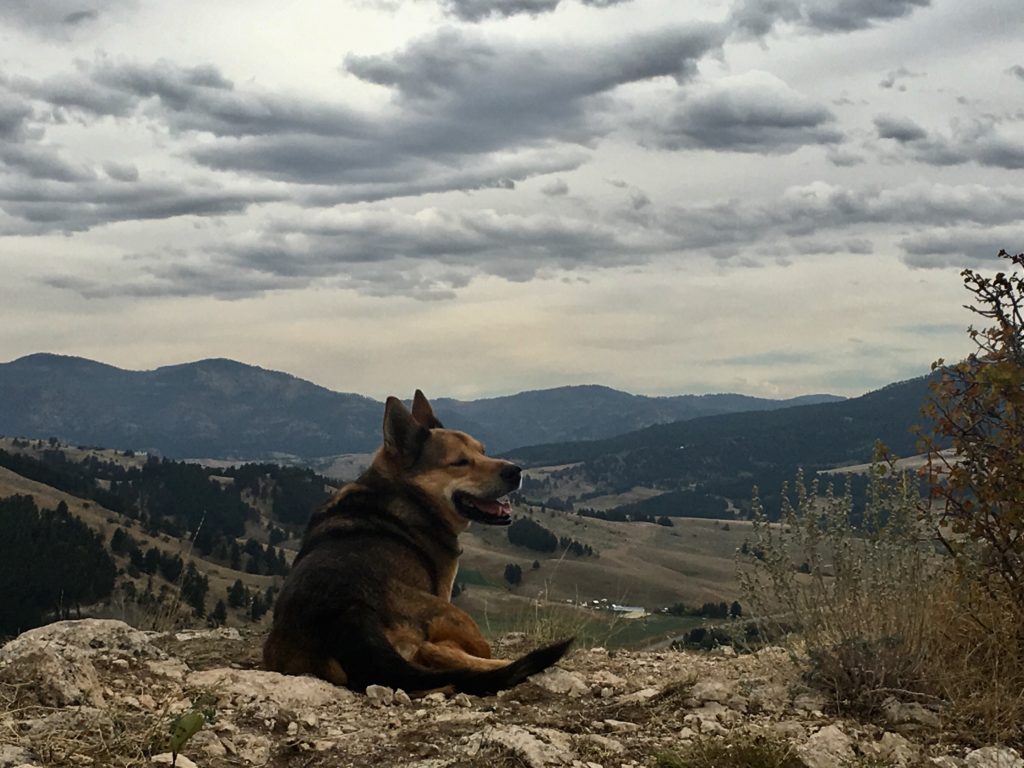
The world’s best wilderness companion and coach Rocky the Rockstar rescued me in 2008 and is crucial in helping build and maintain the dream.

Legendary Healing Waters of Ojo Caliente New Mexico

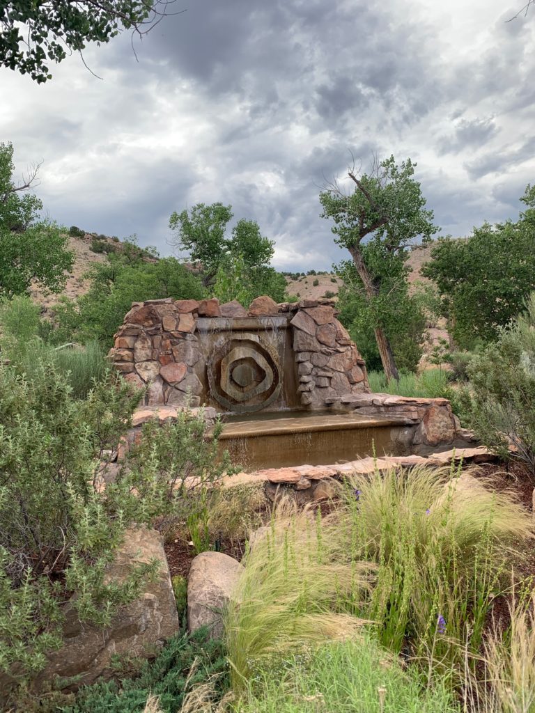
Legendary Healing Waters of Ojo Caliente entrance sign

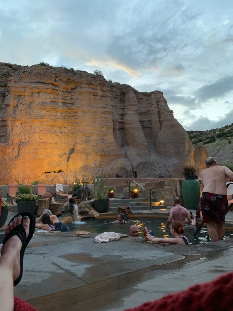
The legendary mineral waters of P’osi-owingeh in the lush, fertile Rio Chama river valley in Northern New Mexico have offered healing rejuvenation since prehistoric times. 

Legendary Healing Waters of Ojo Caliente soaking pool and cliffs

Sulphur-free healing water

Today the fountain of youth water flows in soaking pools nestled in the cliffs outdoors at Ojo Caliente Mineral Springs and Resort.

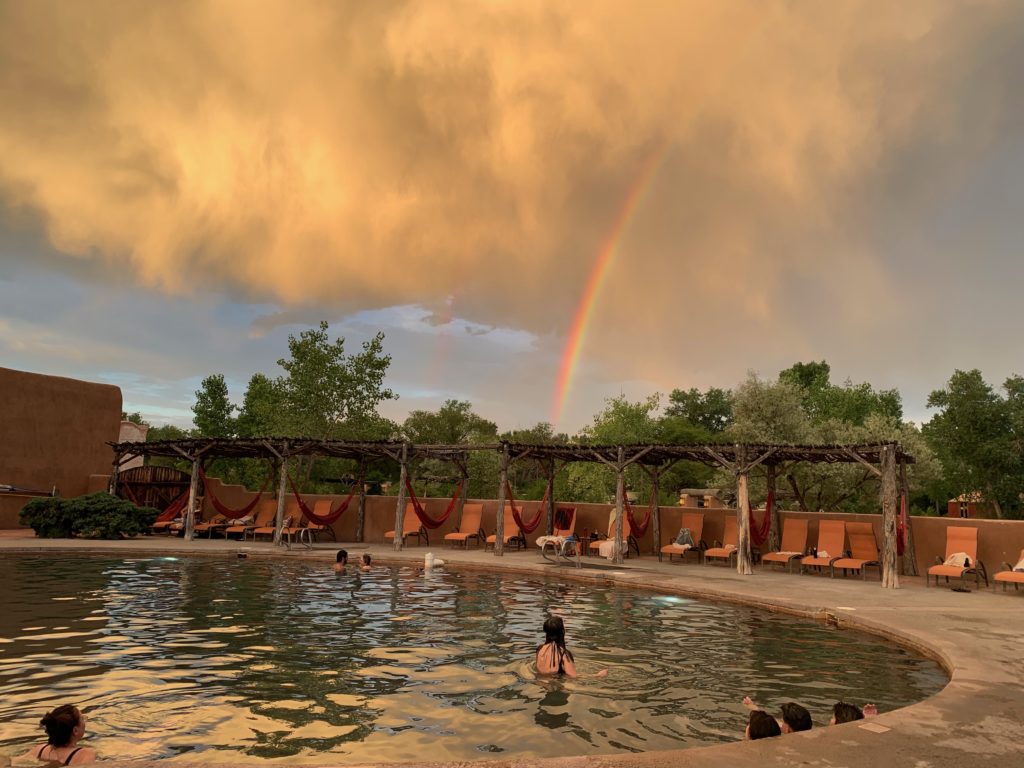
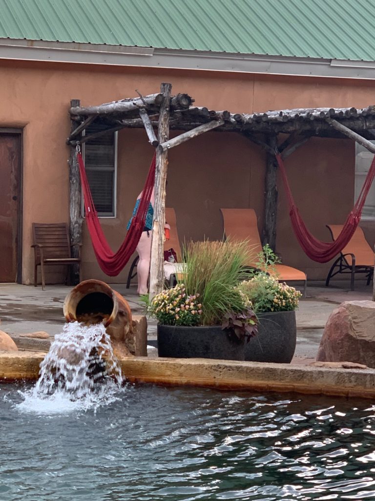
Legendary Healing Waters of Ojo Caliente soaking pool and hammocks.

Water temperature ranges from 90 to 120 degrees.

More than 100,000 gallons of the revitalizing waters offer the unique healing properties of four different sulfur-free minerals: Lithia, Iron, Soda, and Arsenic.

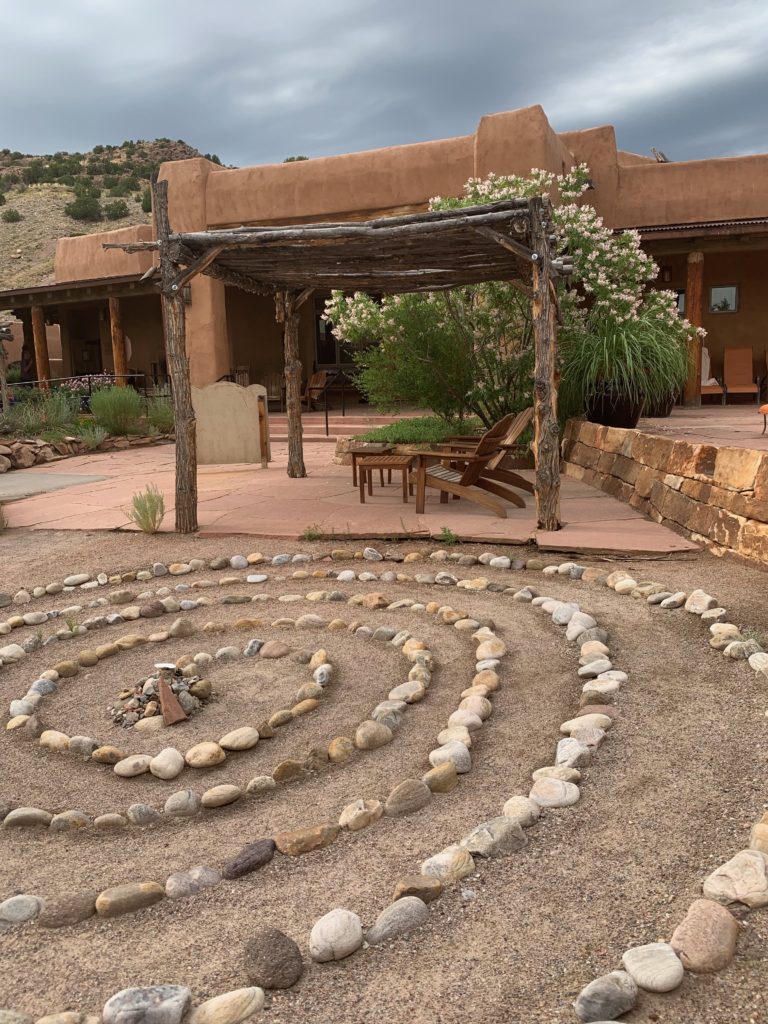
Legendary Healing Waters of Ojo Caliente labyrinth by lobby

Source of healing for thousands of years

Native Americans shared the secluded waters peacefully for centuries. Warring tribesmen left weapons at the door to gather in peace, without conflict.  

Ailments and wounds healed in the “waters of the gods,” and the sacred springs were available as a gift for all from the divine.

Legendary Healing Waters of Ojo Caliente soaking pool with rainbow

Ancient healing with modern amenities

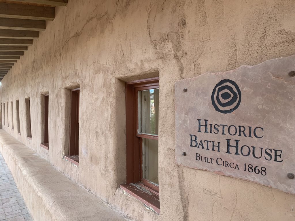
The sacred springs evolved into the first natural health resort in the country in 1868 and were known for the quiet, rustic seclusion, natural beauty, and welcoming funky vibe. 

Legendary Healing Waters of Ojo Caliente historic bathhouse

Today the Ojo Caliente springs (literally means “hot eye”) are a private resort pampering guests with lodging, a full spa, and restaurant with fresh ingredients from the Ojo farm. 

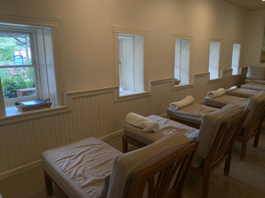
Legendary Healing Waters of Ojo Caliente spa couches

A gift shop showcases locally made, top shelf health and beauty and fashion items for guests.

Range of lodging options

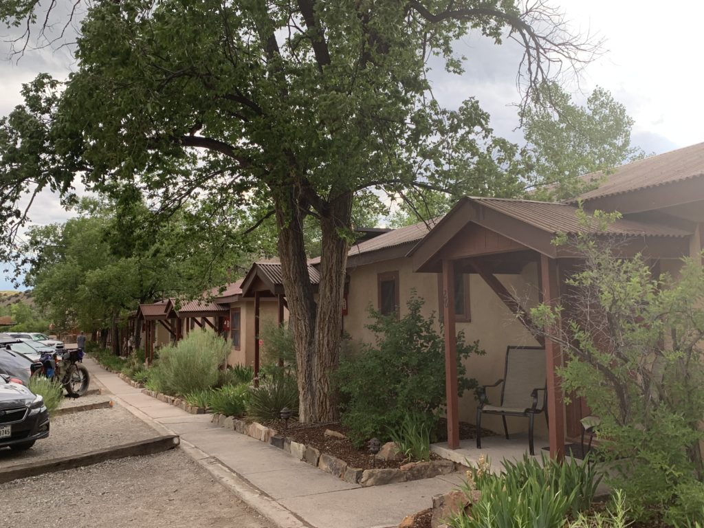
Legendary Healing Waters of Ojo Caliente lodging

Guest lodging rooms are available, ranging in nightly rental rates from $200 to $500 per night.

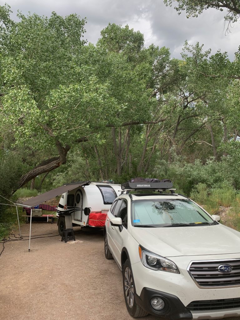
Legendary Healing Waters of Ojo Caliente campsite

An adjoining campground is available for tent and RV guests to hook up at $40 person.

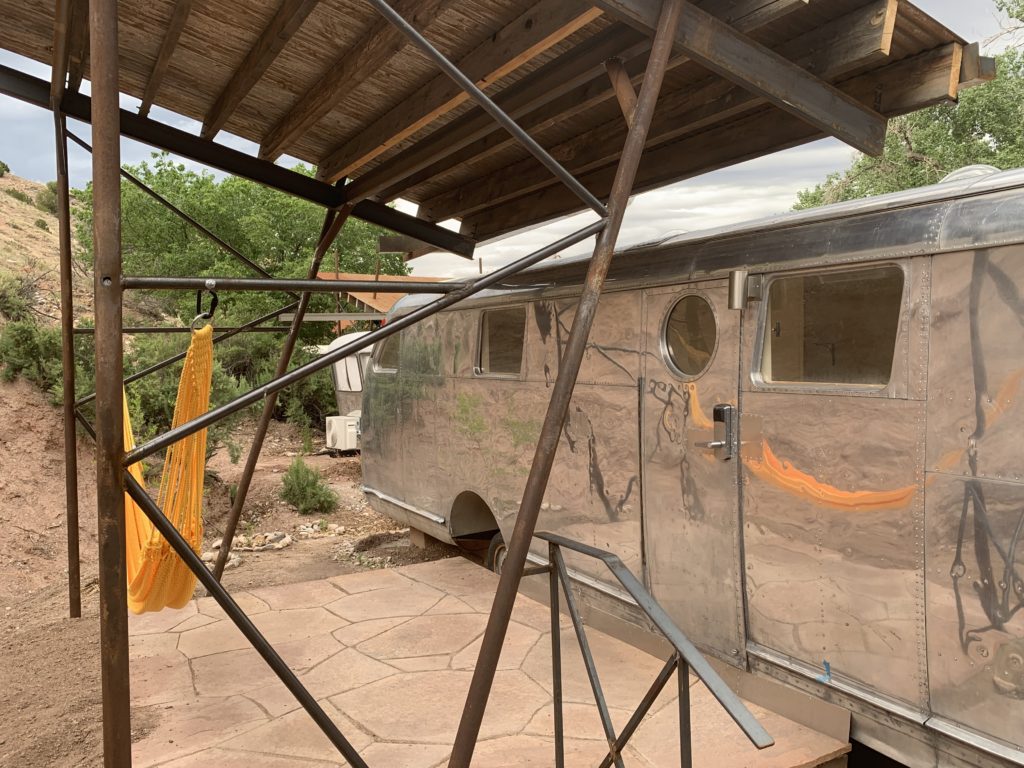
Legendary Healing Waters of Ojo Caliente airstream rental

Remodeled Airstream trailers will soon be available to rent at the campground for under $200 per night.

Legendary Healing Waters of Ojo Caliente river

1,110 rejuvenating acres

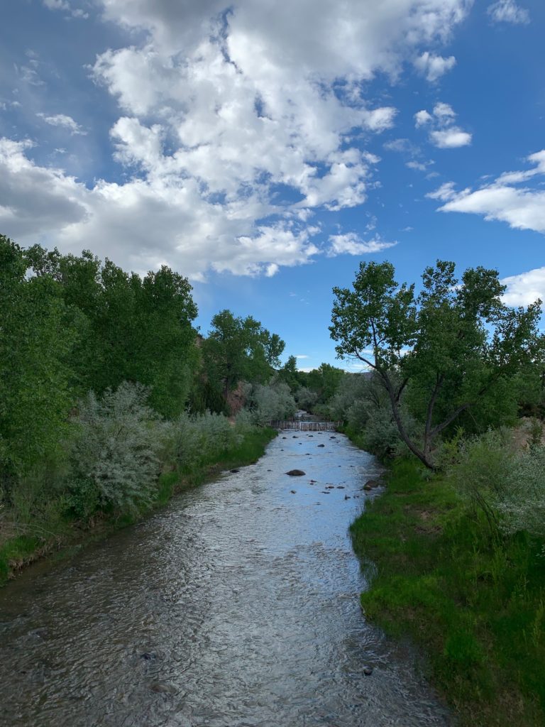
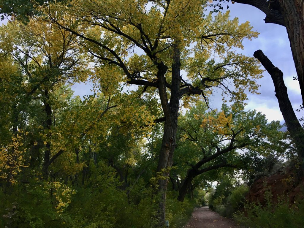
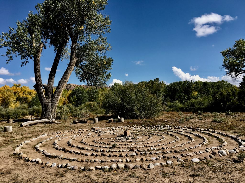
Hiking trails and a labyrinth parallel the peaceful Ojo Caliente River, lined with cottonwoods and cactus.

Legendary Healing Waters of Ojo Caliente hiking trail

Yoga, birding, and biking are also available.

Legendary Healing Waters of Ojo Caliente labyrinth by river

The property has opportunities for a mindful, relaxed getaway and staff encourage whispers and quiet in the soaking pool areas.

Legendary Healing Waters of Ojo Caliente historic round barn

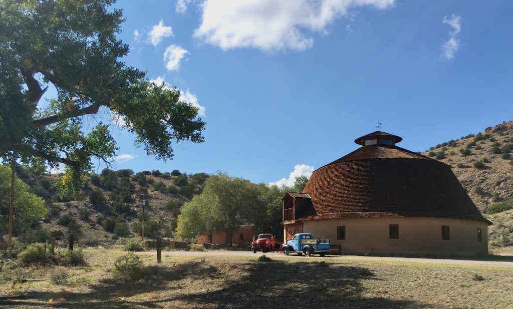
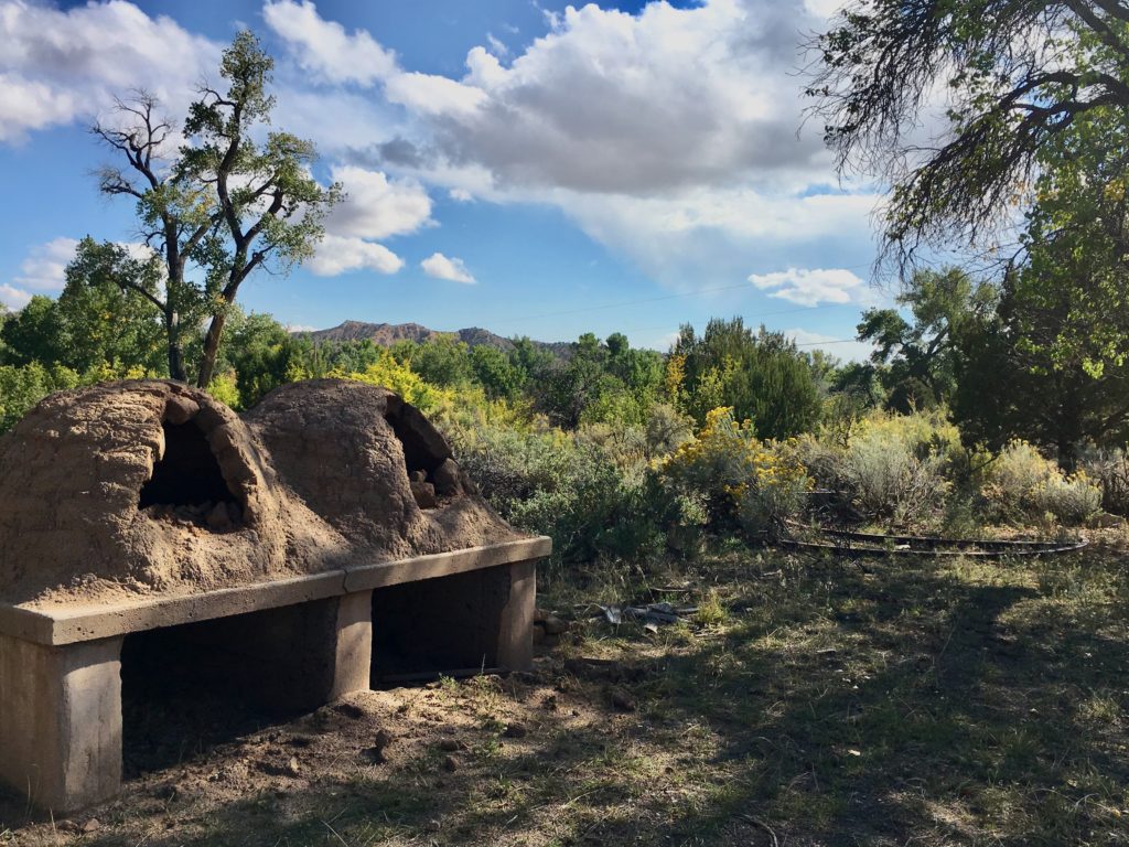
An historic adobe round barn and horno ovens are maintained by the resort.

Location

Ojo Caliente is 45 minutes southwest of Taos and 60 miles north of Santa Fe. Airport transfers are available.

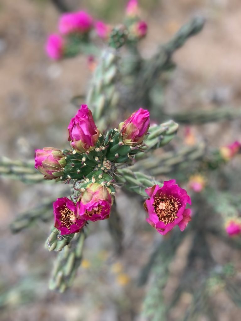
Legendary Healing Waters of Ojo Caliente cactus bloom pink

Children under 13 are no longer allowed in an attempt to maintain a quiet, healing resort.

Ample camping nearby

The 1.5-million acre Carson National Forest Camino Real Ranger District office is in Penasco, 18 miles north of Ojo Caliente.

Legendary Healing Waters of Ojo Caliente Carson National Forest lake

Camping, fishing, and more than 252 miles of trails for mountain biking, horse riding, and hiking are available. Cross-country skiing, snowshoeing and snowmobiling are winter reactional options.

Legendary Healing Waters of Ojo Caliente horno oven

Cave Creek Canyon Paradise

One of the most biodiverse areas in North America is in Southeast Arizona

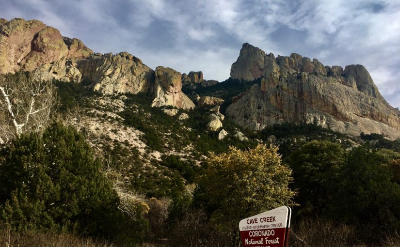
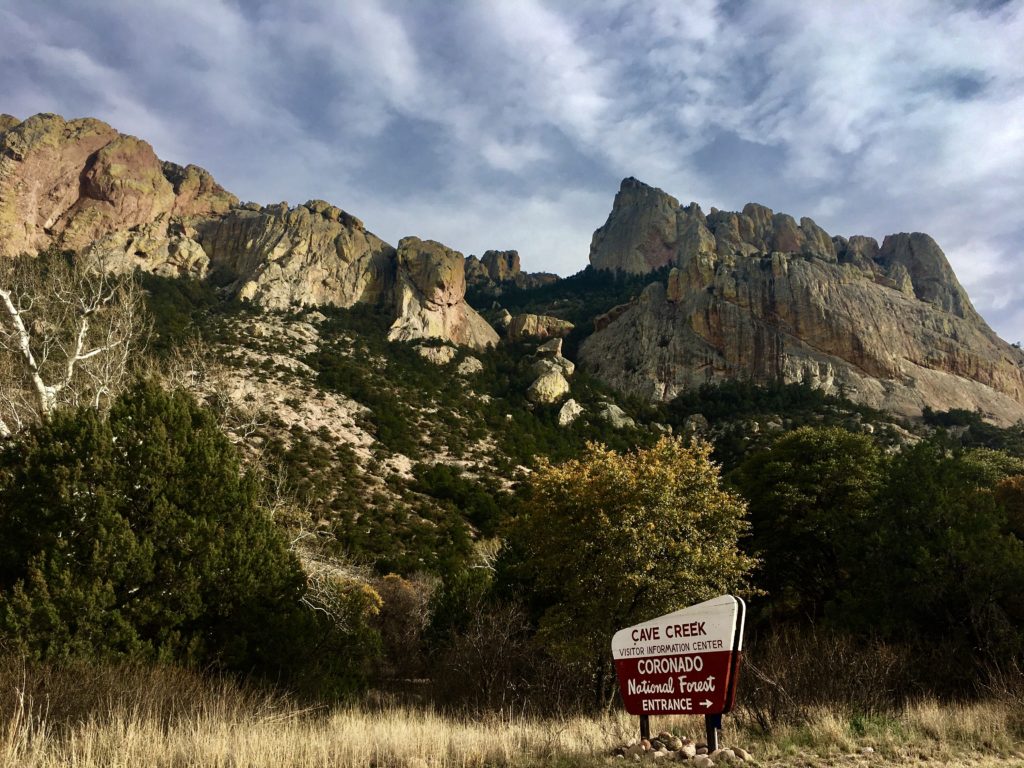
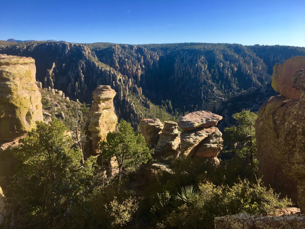
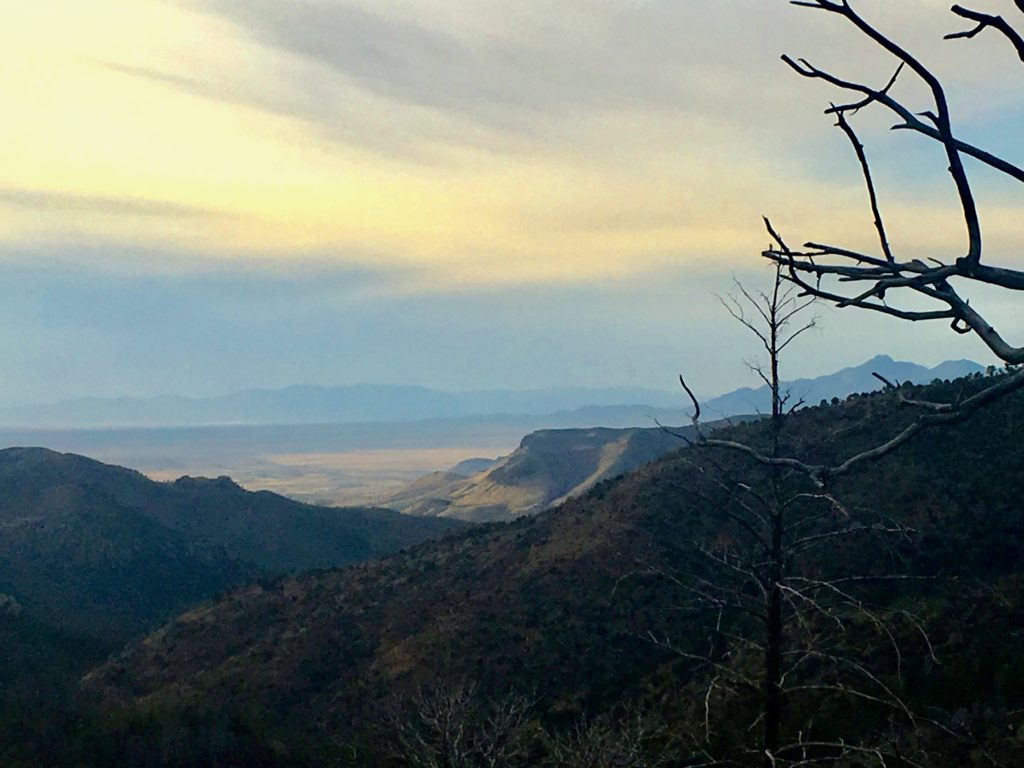
Cave Creek Canyon is a birder paradise 150 miles east of Tucson. Over 300 species have been sighted in the canyon in the eastern slope of the Chiricahua Mountains in southeastern Arizona. But there’s so much more than birds. Dubbed The Secret Yosemite of the Southwest, it is one of the most biodiverse regions in North America.

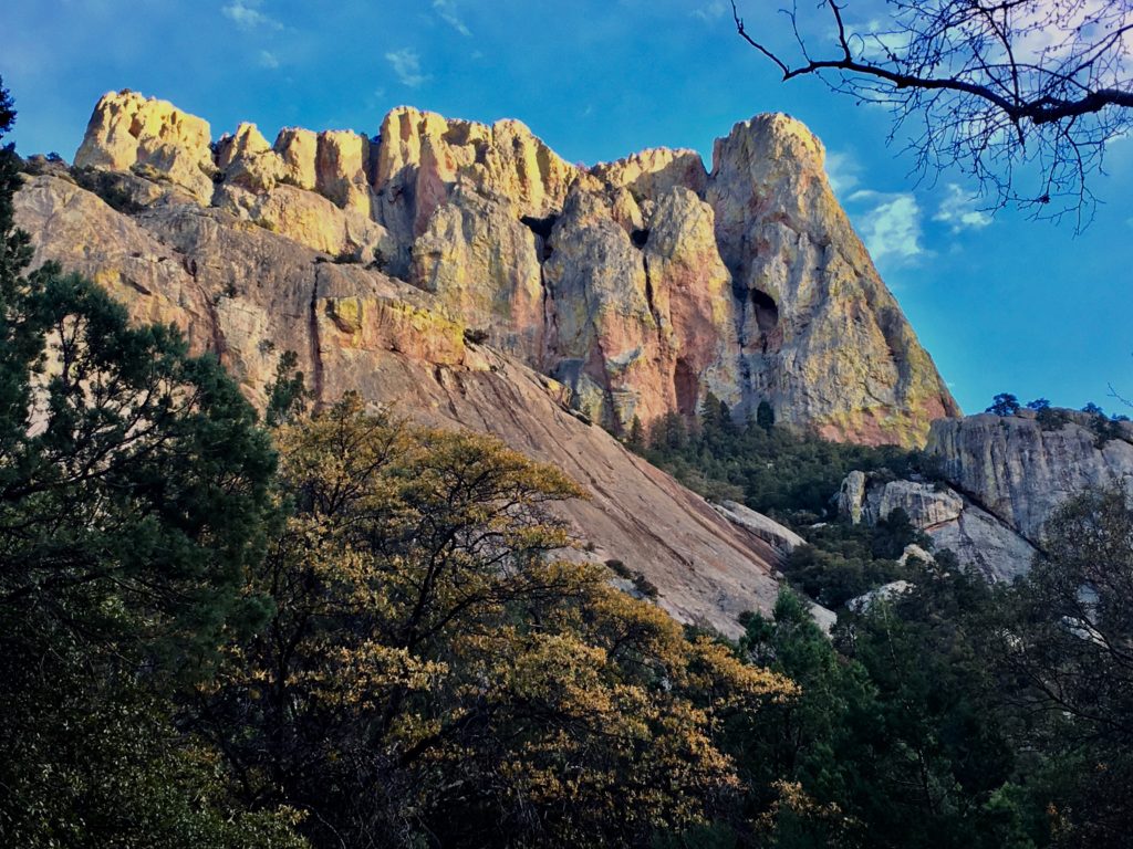
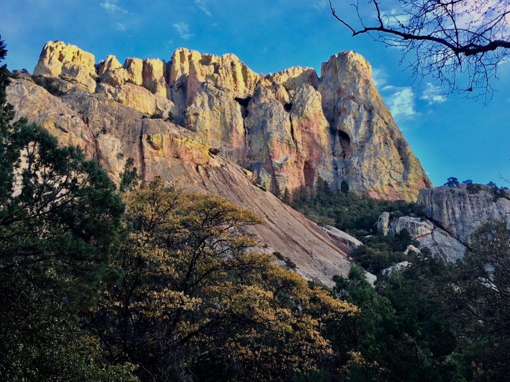
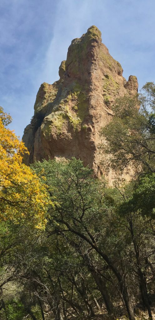
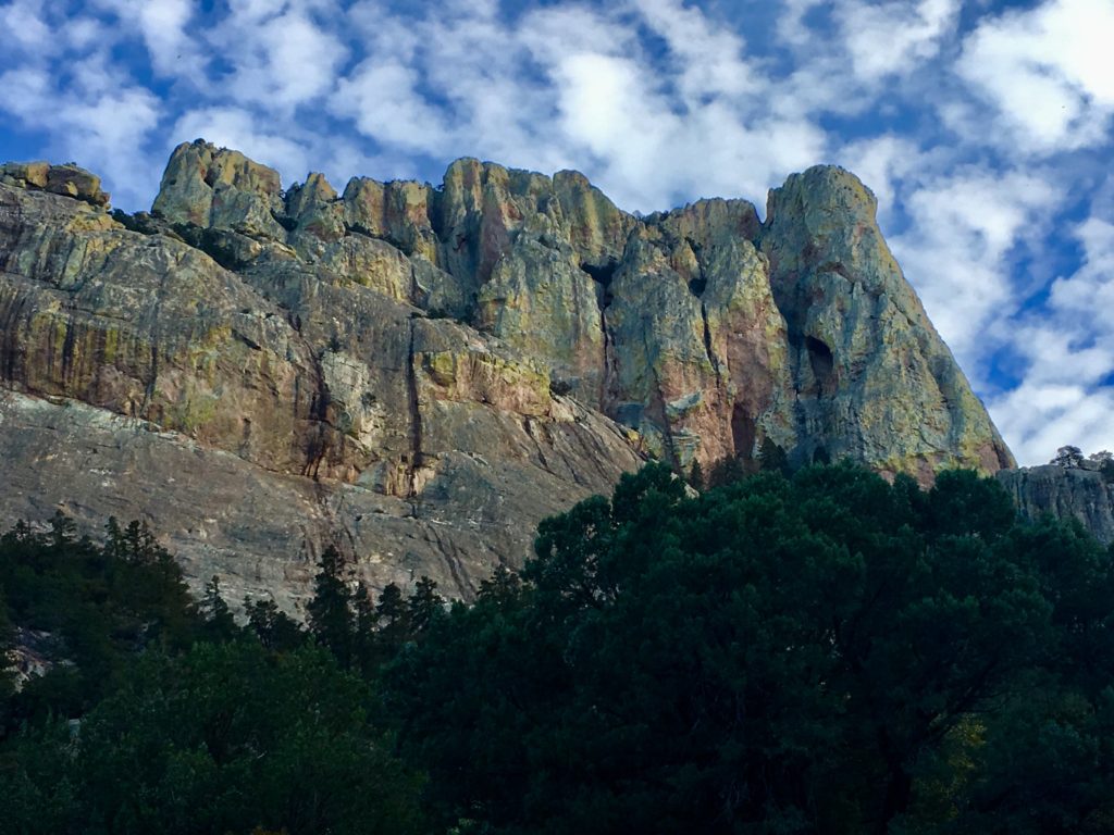
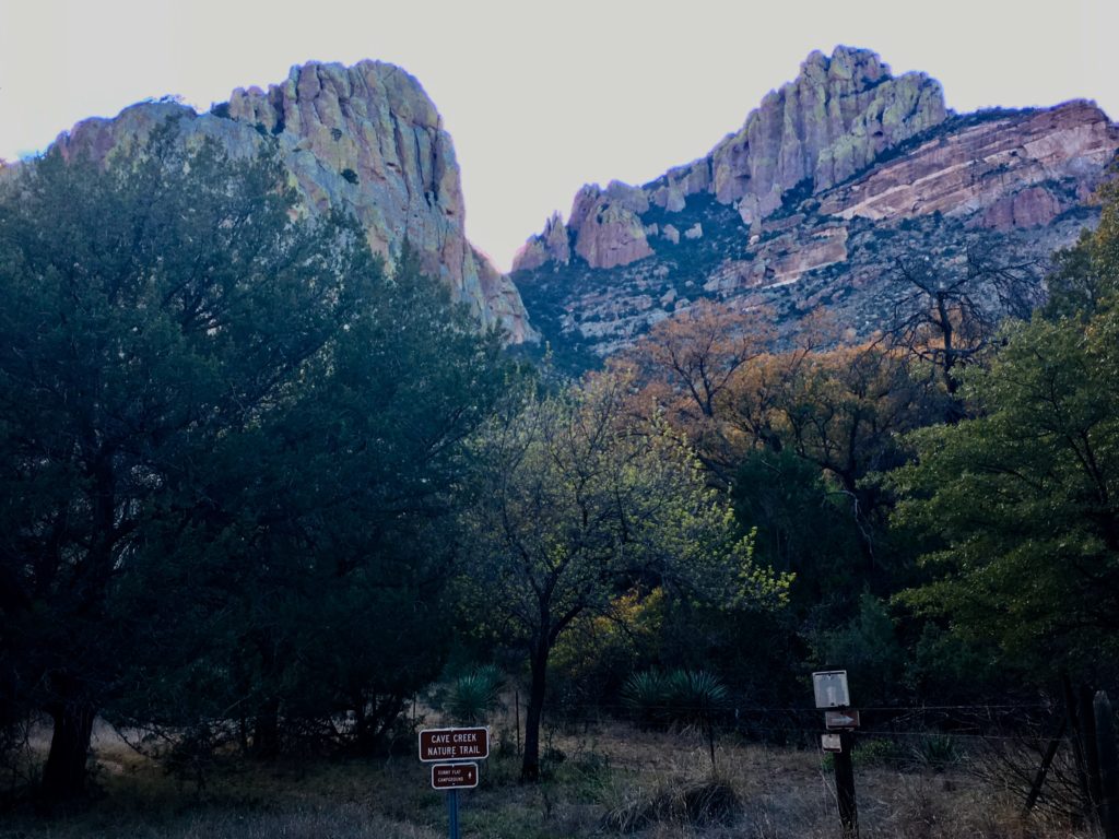
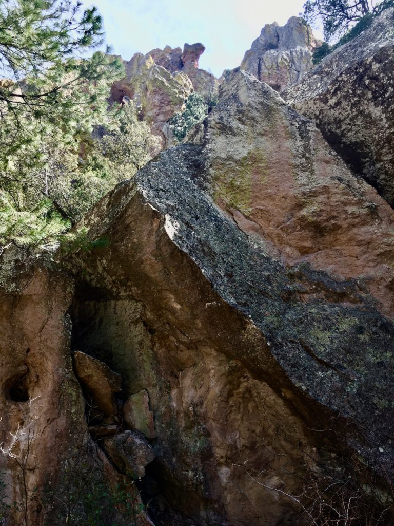
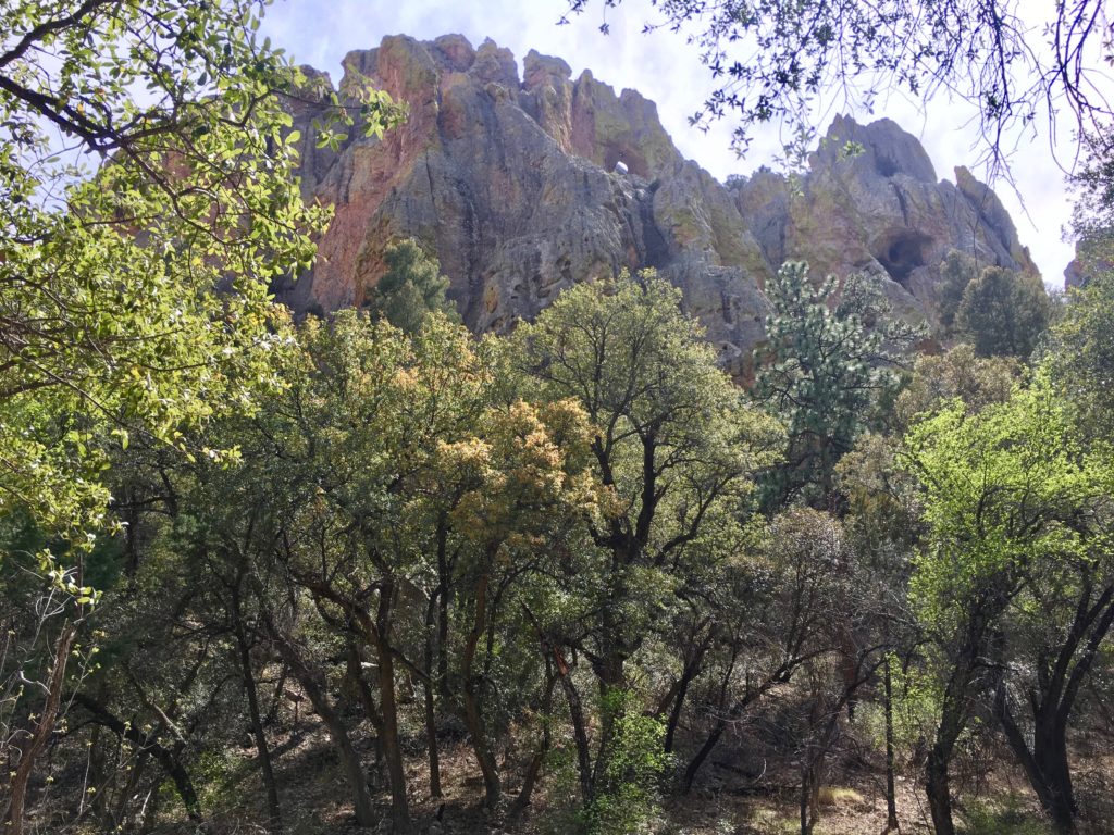
Neon green and yellow lichen drape sheer cliffs rich with stories and adventures.

Nature’s Disney World

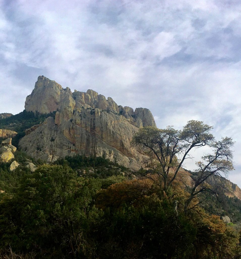
The rock formations create mythical murals of extraordinary faces, gasping caves, and soaring structures devouring the sky.


Personally, I find this part of the Coronado National Forest to be far more spectacular than Yosemite. In March there was almost no traffic or crowds compared to Yosemite. Birders often walk rather than drive through the canyon road to savor the silence of civilization and the symphony of nature. Drivers, including myself, are known to stop in the road, gaping at the dramatic vistas.

Dramatic vistas and scenic drives are hallmarks of the Coronado National Forest.

It’s like Nature’s Disney World on steroids. This region is home to 1,200 species of plants alone! The diverse cohabitation is my favorite example of how to adapt and thrive.

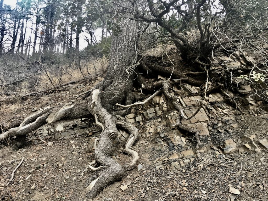
How long did it take for those roots to crawl over the ledges and through the forest? Sometimes seems like a blink. There is a magical, fairytale landscape perfect for an active and vivid imagination.

The Tug is the Drug

I was drawn to Cave Creek Canyon by the irresistible, insistent tug in my gut. At first, it feels like the bump on your fishing line before line begins ripping off the reel. I try not to ignore those delicious tummy flips.
Later while hiding out from March storms across the southwest, I opened a map daydreaming about destinations when the small Cave Creek Canyon called insistently like a Baltimore Oriole HERE! HERE! Come right here! Dear!

The call of the Baltimore Oriole sounds like “Here. Come here dear. Here.
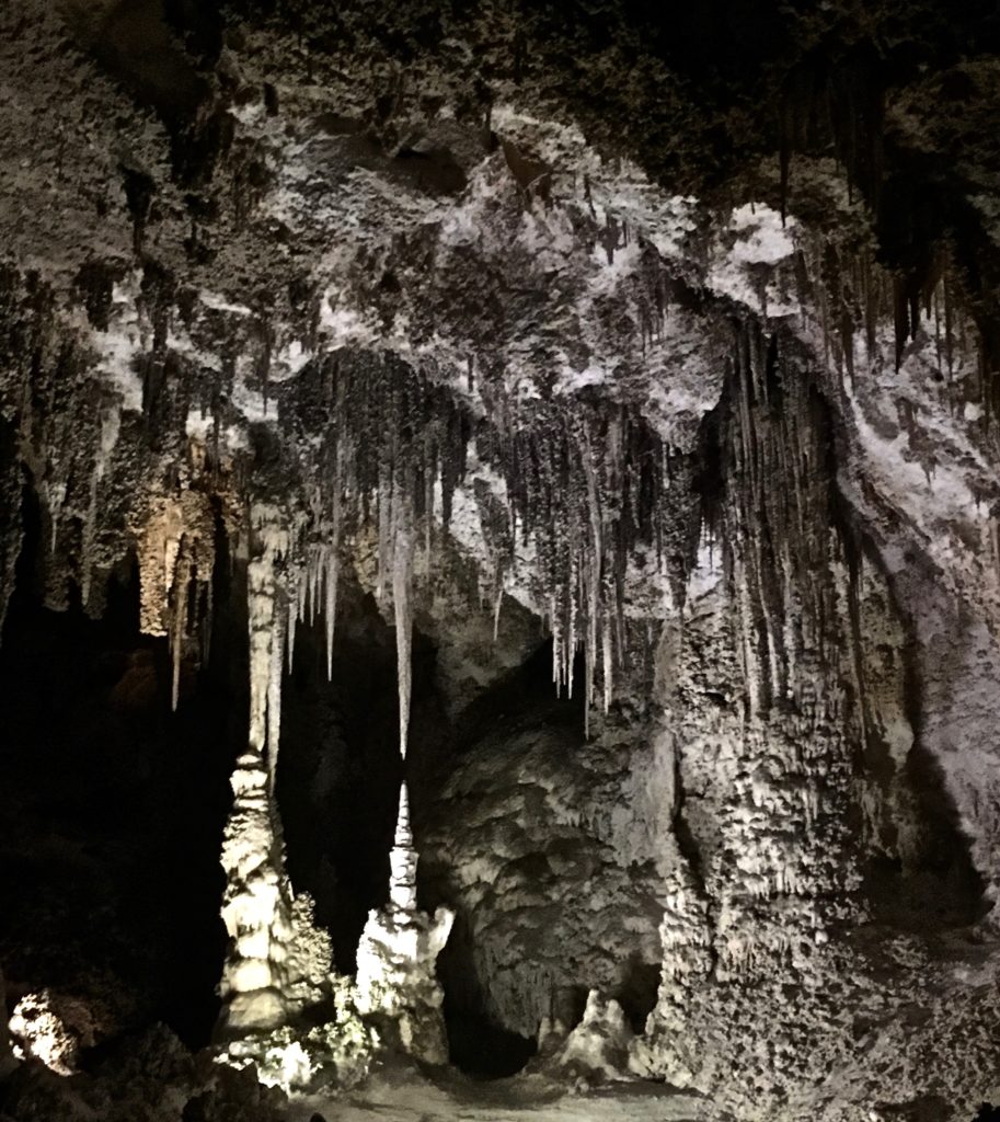
Visit the caverns during a storm if you can.

On my way to the Canyon, storms stopped my travel once again. I ducked into Carlsbad Cavern to ride it out and contemplate alternative destinations. I found refuge at Roosevelt Lake, Arizona.

Tonto Basin National Forest east of Phoenix is home to the gorgeous Roosevelt Lake near Globe, Arizona.

Spring in the Tonto Basin

Spring is a spectacular experience at Roosevelt Lake.

My heart hurt leaving the gorgeous basin and lake region bursting with spring.

The Tonto Basin satisfied even the resource management nerd in me. How could a little canyon in Southeast Arizona compare?

But there’s no denying the tug in this nomad life. When the weather cleared we headed southeast.

More Than One Way Around Those Mountains

I entered the region via Wilcox on state highway 186 at the Chiricahua National Monument. Some folks advised avoiding the route to Cave Canyon from the Monument and others said there wasn’t a road. My heart followed the tummy tug urging me to go through the forest rather than around it.

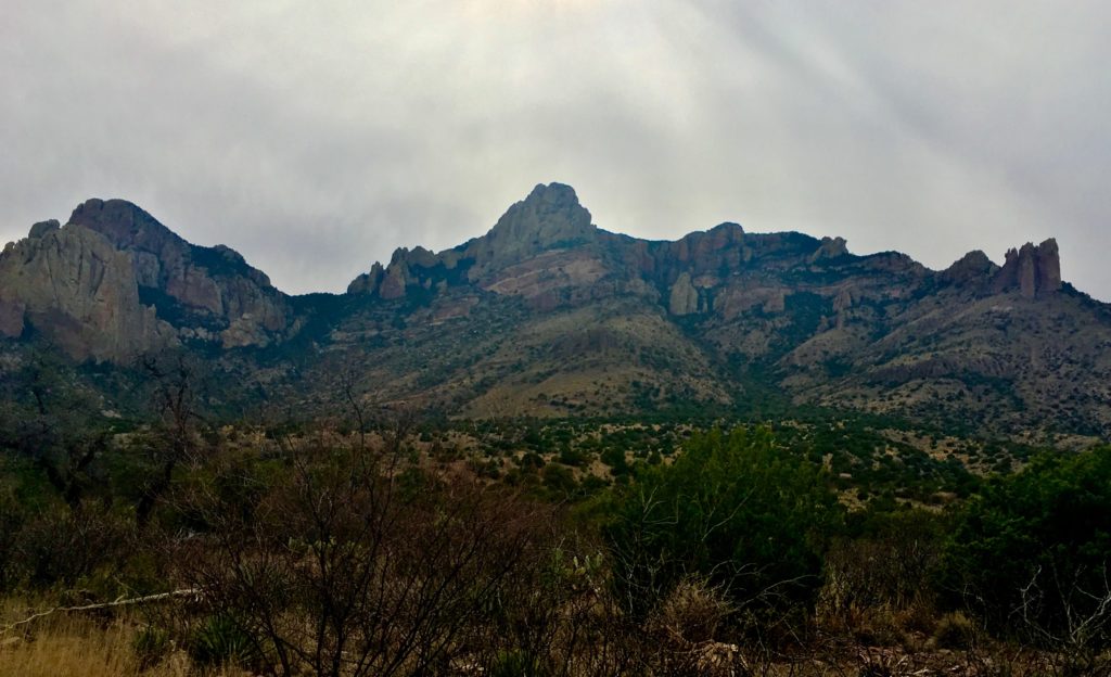
Coronado National Forest borders Chiricahua National Monument sky island scenic drive.
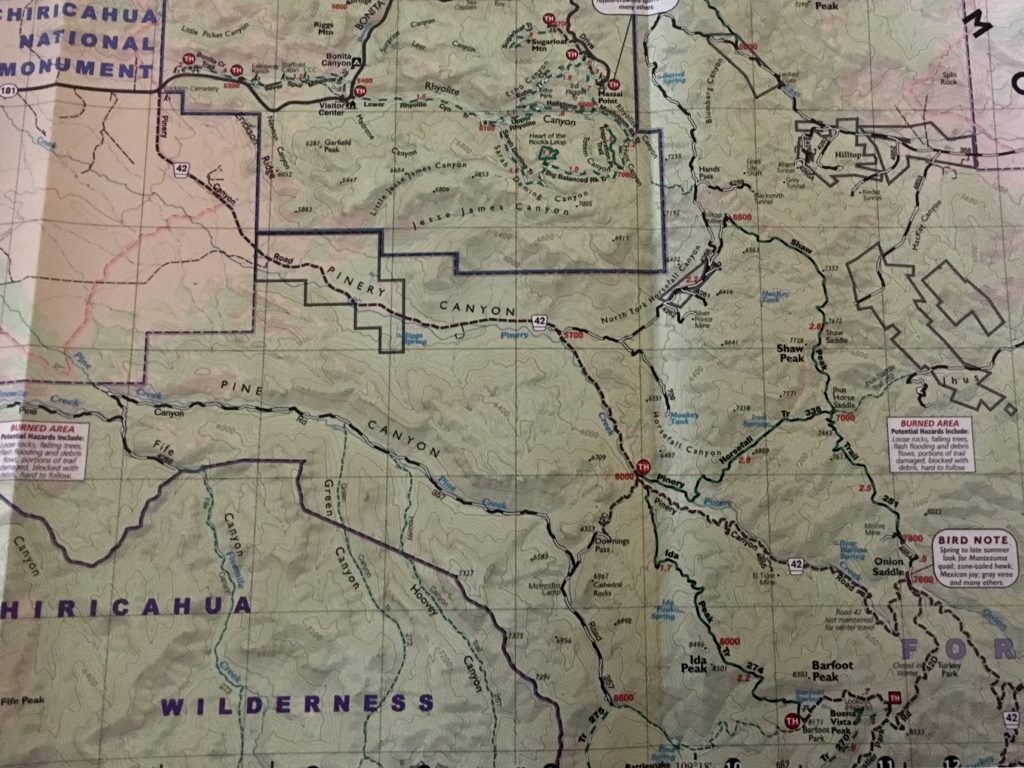
A good map showing forest and fire roads, hiking trails, as well as topography, is a must before striking out in the Chiricahua Mountains outback.

Fortunately, I had snagged a Coronado National Forest Douglas District topo map at the Tonto Basin Ranger Headquarters.

The map was the key to the gateway of Nature’s cornucopia in the Chiricahuas. The route was Forest Road 42 from Monument to Canyon.

Forest Road 42 is also called Piney Canyon Road and traverses four ecozones through the Chiricahua Mountains in far southeast Arizona.
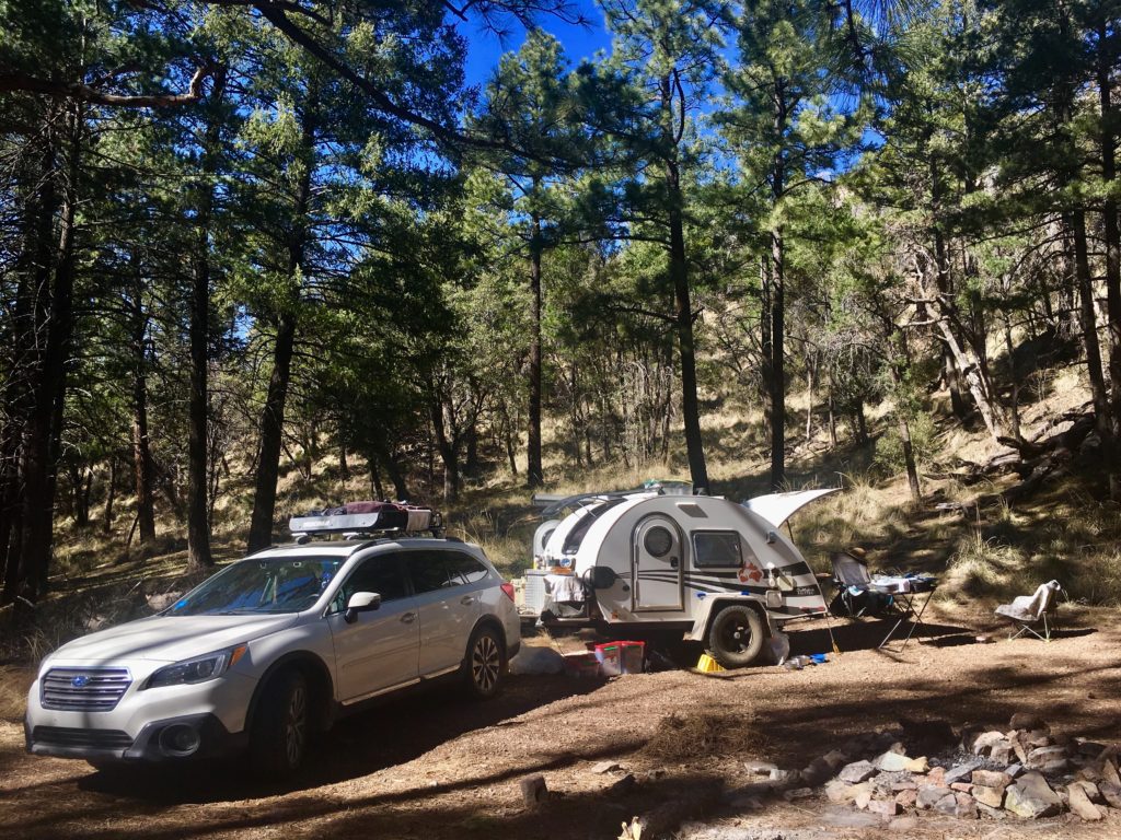
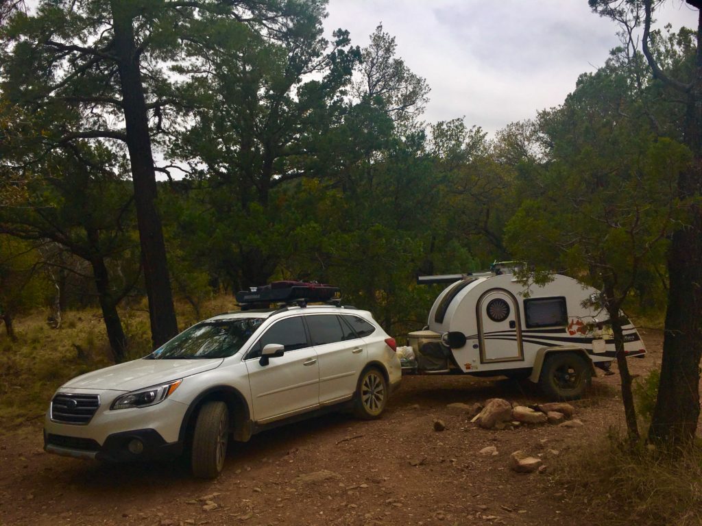
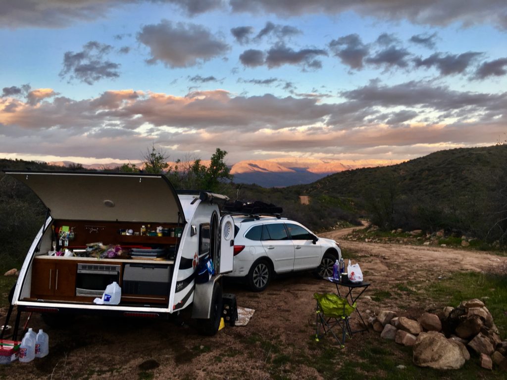
My tiny home away from home is a Subaru Outback 3.6R Touring affectionately dubbed Beverly. She is pulling Hillbilly, a NuCamp T@G XL Outback Edition teardrop trailer.

I took four long, slow days camping through this section of the Coronado National Forest before I reached Cave Creek Canyon. It’s just too amazing to rush through.

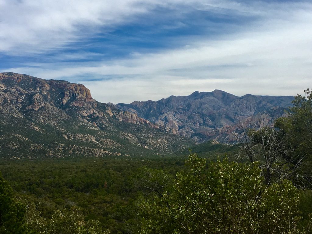
Spectacular FR 42 vistas illustrate the diverse ecozones in this region of Arizona.

Biodiversity Bonanza

Four ecosystems meet in this region. FOUR! I was so delighted I felt like a kid. Are ferns and cactus really living next to each other in a lush pine forest? Signs of recovery from devastating fires included plants and trees I’d never witnessed growing together! I had to hunt for field guides to verify what I was seeing!

The gift shop at the Southwest Research Center has local, regional, and national field guides as well as beautiful jewelry, pottery, photos, paintings, and poetry by local artists. There was a Folk Dancing Workshop in progress when I visited. Great prices and fun in a perfect setting of field research.

This region may have more Ph.D’s per capita than most due to the scientists of all types conducting research at the Southwest Research Center at Cave Creek Canyon.

Northern slopes resemble the Rocky Mountains with ponderosa pine and Douglas fir. Sunnier southern slopes have Apache pine and Border pine from Mexico’s Sierra Madre range. Yuccas from the Chiricahua Desert thrive beside agaves and prickly pear cactus from the Sonoran Desert. Lush ferns are abundant in shady areas.

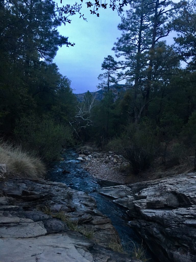
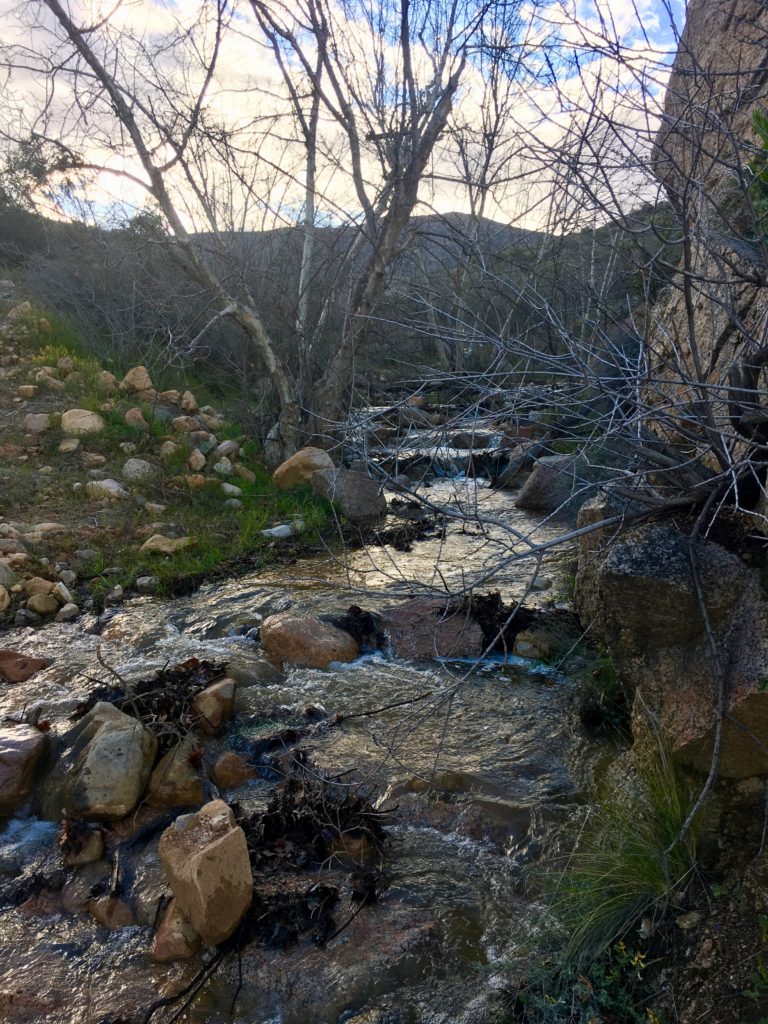
The region is filled with creeks and streams, especially in spring.

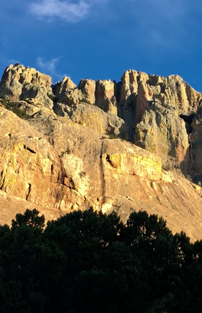
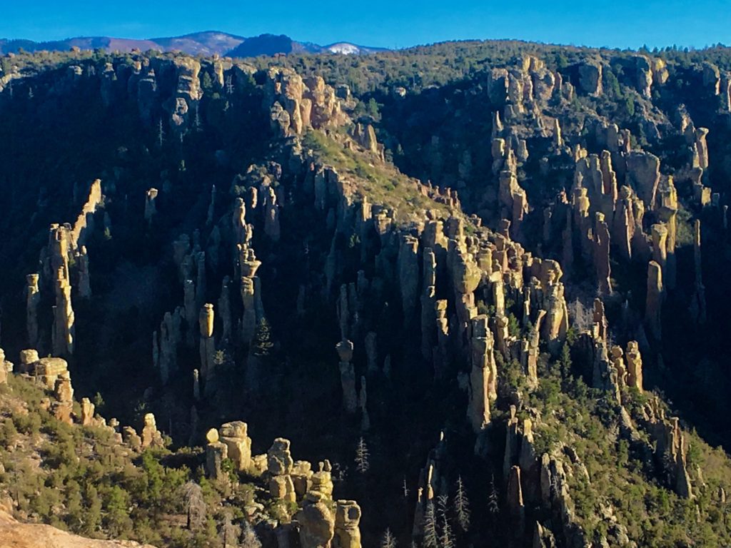
Almost neon-yellow and green lichen drape ancient boulders, pinnacles, and hoodoos creating a surreal landscape that glows like Broadway in the sunset.

Cave Creek Canyon

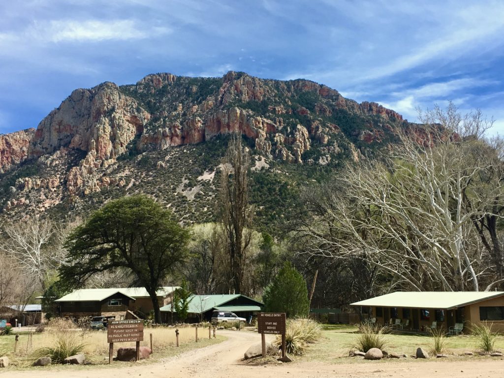
Colorful, soaring cliffs dotted with caves and pinnacles shoot up from the canyon base. Portal and Silver Peak Mountains tower over the cliffs. Nature’s majesty is reflected in the range of color and texture of the rocks, mountains, and lichens throughout each day. Even the range of color in the deciduous trees was stunning!

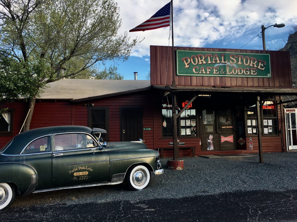
Two branches of the perennial Cave Creek run through the Canyon, joining near the Portal Cafe and Lodge. Other than this business there is a post office. No other services, cell, or gas are available so make sure you arrive with a full tank of gas and supplies.

Wildlife

The “holy grail” of birding, the Elegant Trogon can be sighted in southeast Arizona, including Cave Creek Canyon.

Birds Galore!

Birders flock to the canyon home of the Elegant Trogon. Other birds to check off your life list include the rose-breasted becard, red-faced– and olive-faced warblers, magnificent- and blue-throated hummingbirds, Montezuma quail, and Mexican chickadee.

Our Wilderness Guide and Camp Mascot

Coronado Morning Dance began with my partner dancing solo.

This tiny Chiricahua Wilderness Ambassador quickly learned my morning routine. First, leave the bed, then sit at the altar, followed by the power source check, and finally prepare food by chanting and chopping with tiny bits of fruit and veggie flying through the air, much to the delight of our bird guest and Rocky.

I would pop open the trailer door in the morning to this avian greeting mimicking my routine and repeated over and over like a dance until I rolled out of bed and we continued the routine together. I called it “Coronado Morning Dance”.

Animals

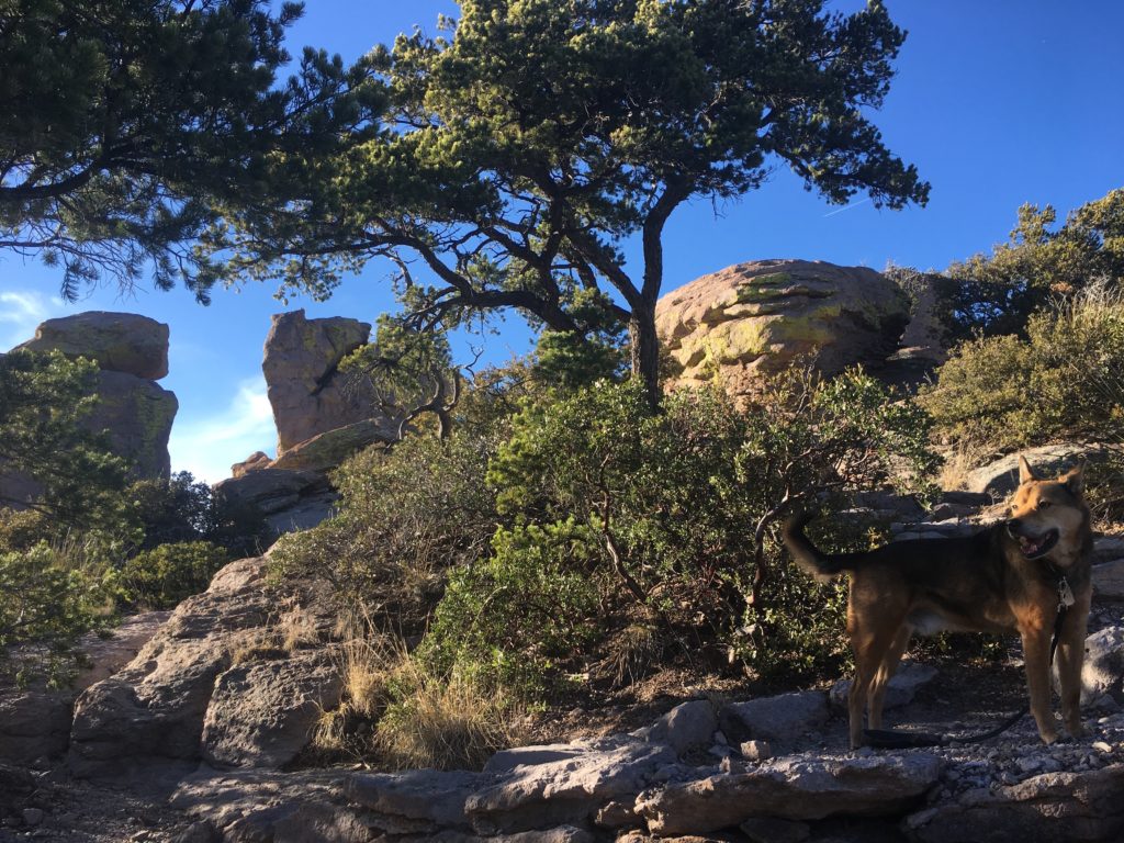
Rocky was quite cautious, respectful, and content with a small territory to monitor in this forest full of animals and birds. He pranced like a boss when we were hiking.

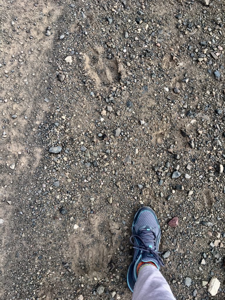
Apache fox squirrel and coatimundis inhabit the forest. We observed mother javelina with a baby and Coues white-tailed deer at camp in the bottoms where we never saw another human. Rocky collected limbs from deer kills but I couldn’t determine if the predator was animal or human. We saw large hoof tracks with baby hoof prints intermingled.

With years of training and many insect stings, a snakebite, deer kick, and a wild boar experience, Rocky learned to freeze and watch or he might be hurt. Even worse, if he doesn’t I won’t invite him on my solo visits into nature throughout each day. Although, without his warnings to me, I’m not sure I could continue solo adventures. We make a great team!

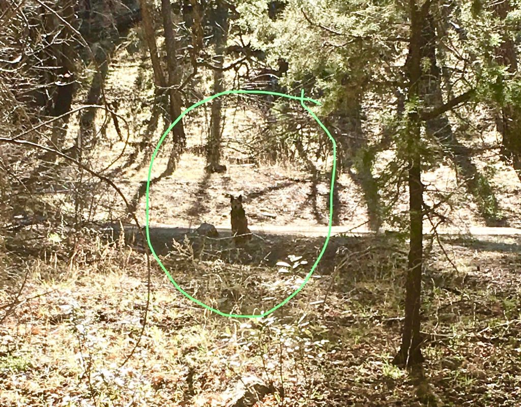
Surprisingly most wildlife were more curious than scared especially when we were in the deeper parts of the forest. The ever-vigilant Sgt. Rocky was cautious and would immediately sit statuesque, tail wagging endlessly, observing Nature’s parade through the forest and camp.

Camping

Developed Campgrounds

Sunny Flat Campground has open prairie with natural and man-made shade.

Cave Creek Canyon is a paradise for tent and small rig campers. Vehicles over 41 feet aren’t even allowed in the canyon and on most of the forest roads in the region. Rigs up to 16 feet are permitted in Sunny Flat campground.

Idlewild and Spencer Campgrounds parallel Cave Creek, have plenty of cool shade, and facilitate tents and smaller rigs.

Three developed national forest campgrounds offer tables and vault toilets. Some have shade shelters. There are no electric or water hookups, but community water spigots are available between April and October.

Sunny Flat Campground is the most open campground in the canyon and accepts rigs up to 16 feet.

Campgrounds are evacuated due to flooding if there is a forecast of 1.5 inches of rain or greater.

Boondocking

There are ample dispersed camping areas just outside of Cave Creek Canyon and in the surrounding Coronado National Forest.

During the week there were no other visitors in March so I had a multi-level site along Cave Creek at John Hands Campground. The trailer was an ideal hideout to observe wildlife and birds drinking at the river, unaware of our presence.

These prime camping spots away from any development showcase abundant wildlife and birding, especially in the bottoms of the region where springs and creeks flow with meltwater.

I camped all along FR 42 from the entrance of the Coronado National Forest by the Chiricahua National Monument to Cave Creek Canyon outside Portal.
In the Canyon area, I preferred the sites along Cave Creek close to John Hands and Herb Martyr Camps. If I was visiting in a busier season I would camp higher up past Onion Saddle on FR 42, also known as Piney Canyon Road.
John Hands primitive camping area parallels Cave Creek and has a waterfall. This larger area has multiple sites with fire rings that would work well for family reunions and larger group camping.

In fact, when I return, and boy will I ever, I’ll stay deeper in the national forest on FR 42. The wildlife and birds were not only abundant but also social! Maybe it was spring fever. It made me feel like Snow White singing in the forest which amped up that Nature’s Disney World sensation.

Hiking

Beautiful and dramatic vistas await hikers of all skill levels.

Silver Peak Trail begins in desert vegetation and climbs 3,000 feet to the Douglas fir forests at the summit of Silver Peak at 7,975 feet.

South Fork Trail has five distinct segments from the trailhead to the Crest Trail covering seven miles and 3600 feet elevation gain. The first segment to Maple Creek Camp offers a gorgeous vista.

Cave Creek Road (FR 42 and FR 42B) is a paved scenic drive or walk in spectacular scenery with world-class birdwatching and listening.

There are many more trails of all skill levels throughout the national forest area. Maps are available at the Visitor’s Center if it’s open or at the Southwest Research Center.

Chiricahua National Monument

Chiricahua National Monument includes a delightful eight-mile sky island scenic drive through landscapes of spires, hoodoos, and forest.

Sky islands are an isolated mountain range rising from vast grasslands. Arizona takes the prize for its abundant sky island vistas and scenic drives.

A Note About Vehicles

Like most of the areas I write about, this adventure on FR 42 from the Monument to the Canyon requires high clearance, offroad vehicle. The road through Cave Creek Canyon is paved, but the surrounding forest roads (FR 42 and branches) are quite rough with steep grades and tight, narrow curves. There are many water crossings in the spring and monsoon seasons.

My Subaru Outback 3.6R and NuCamp T@G Outback handled the rough roads and steep grades once again.

My teardrop was designed for offroad with reinforced axle, higher clearance and rugged tires.

Standard vehicles can easily access the Canyon on paved highways leading to Portal.

Something for Everyone at Roosevelt Lake, Arizona

Tonto Basin National Forest is home to gorgeous Roosevelt Lake in the Sonoran Desert in central Arizona. It is in my top five-boondocking areas in the western United States because of the spectacular biodiversity, natural beauty, and collaborative management of the area that is respectful of the land and people. There is something for every type of recreational user.

Spring is Show Time in the Desert

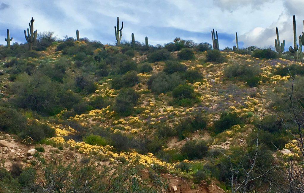
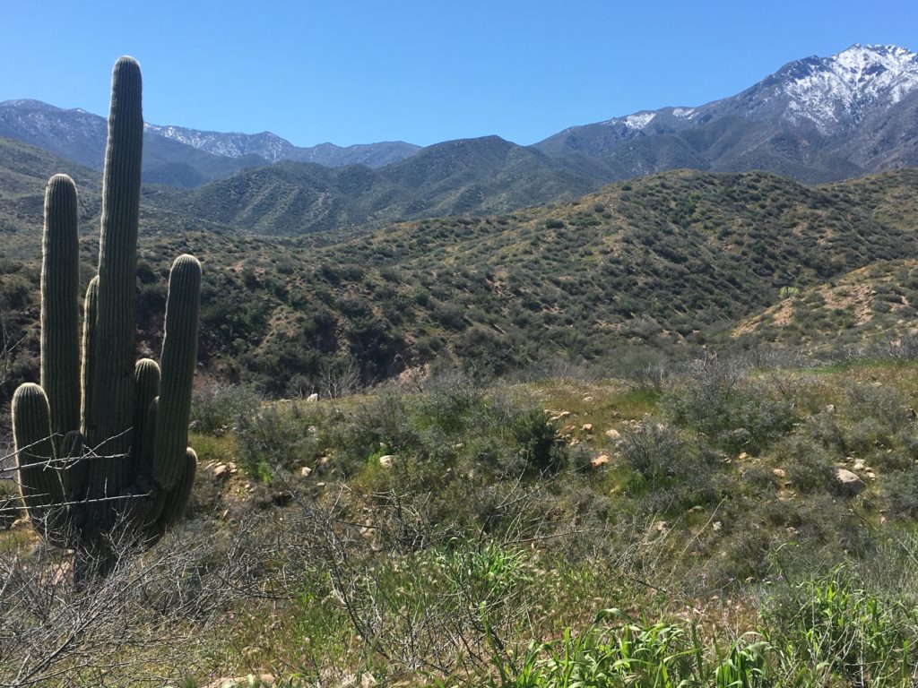
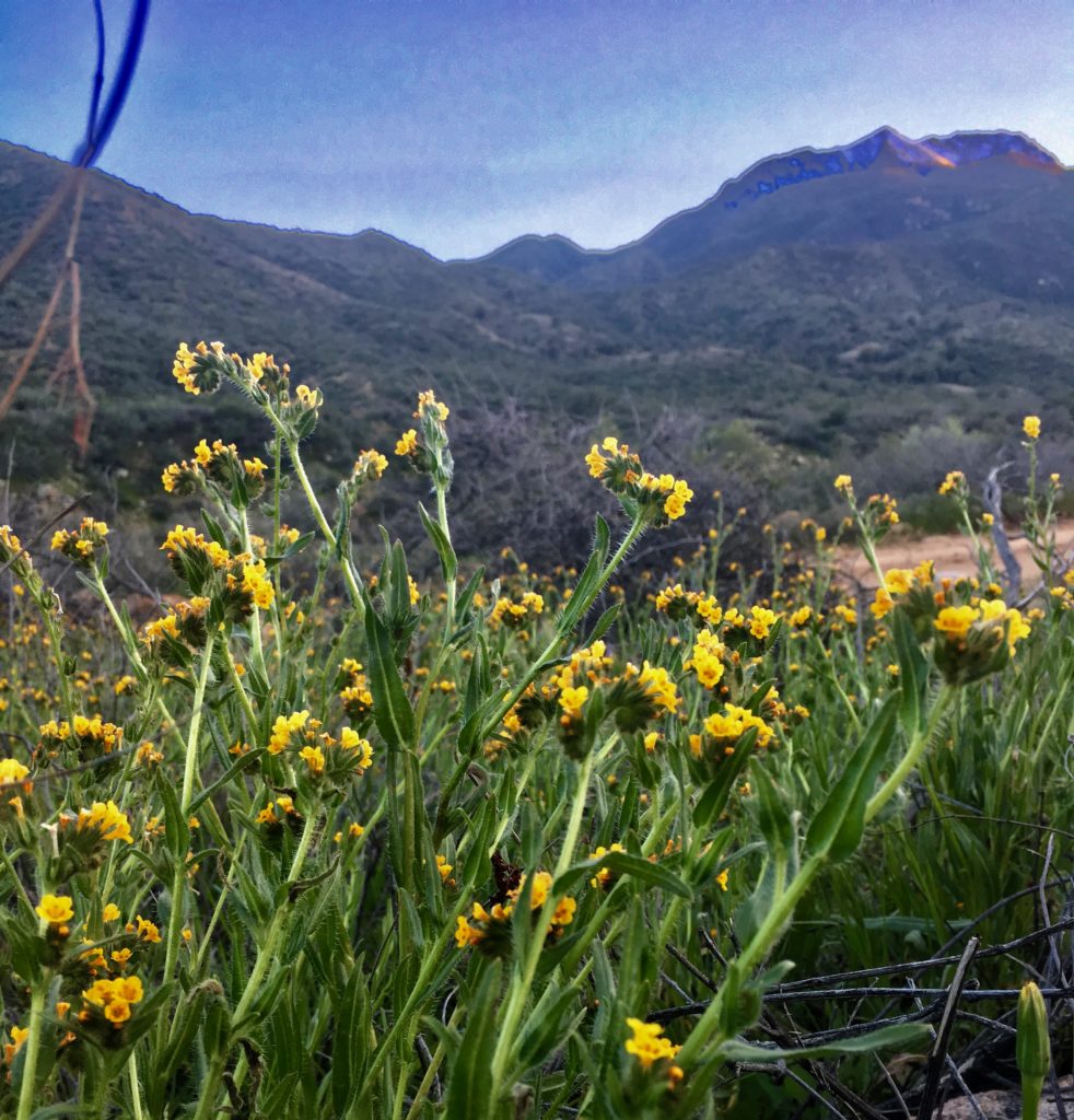
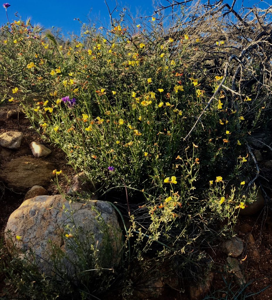
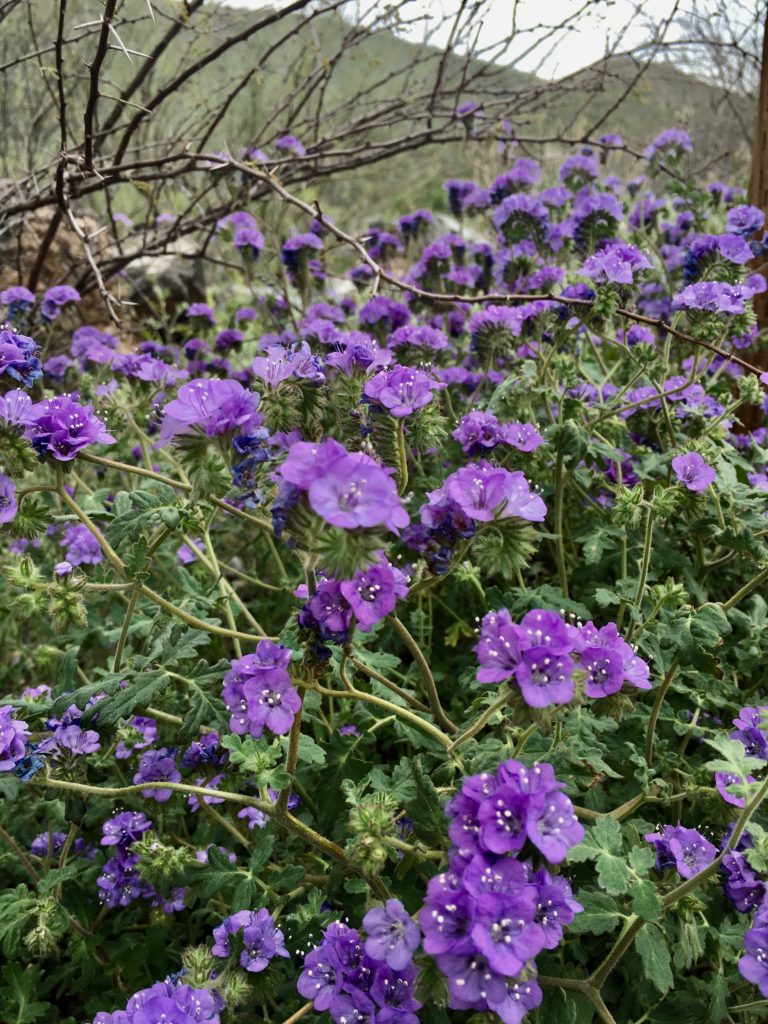
February, March, and April the Sonoran Desert springs to life. Hills and canyon walls are carpeted with bright yellow California poppies and soothing purple lupines. Saguaro cacti tower over cholla, prickly pear, agave, and jojoba. Higher up oak, juniper, pinion, and ponderosa create a lush landscape.

Tonto Basin encompasses 300 miles of big sky and dramatic mountain ranges surrounding a placid lake in wilderness areas where hiking and horseback are the only mode of transportation. Peaceful, primitive, and developed camping sites offer inspiring views and miles of hiking for every level.

From Ancient Cliff Dwellings to Modern Dam Engineering

This area has been home to people since prehistoric hunter-gatherer nomads. Between 100-600 the Salado people built cliff dwellings in a more settled farming life. For unknown reasons they disappeared, leaving no evidence of human activity in the basin for 150 years.

Hohokam farmers settled in 750 growing to a peak in the 1100’s. Catastrophic flooding of the Salt River forced migration in the 1300’s-1400’s but the area remained Apache land until forced evacuation by the US army in the mid- to late-1800’s.

The native wisdom of a lifestyle integrated in nature seems to seep from the ground and swirl in the breeze. Perspective on your own blink of life clarifies in a land where many tribes and civilizations have flourished and vanished.

There is a deep, grounded peace that nurtures an expansive, open awareness and curiosity. Problems I wrestled myself into knots over like unpredictable weather suddenly unraveled, revealing ample possibilities and easy acceptance.

My Best Forest Service Management Experience

In true national forest service style most needs of outdoors adventurers have been accommodated while also protecting important natural resources. Tonto Basin Forest Service Management has balanced the needs of ATV and motorcycle enthusiasts with those who prefer quieter vehicles, less traffic, and more hiking adventures by limiting OHV trails to sections rather than all of the prime primitive camping and hiking land.

Camping Options for All

It is possible to get far enough from civilization’s noise to truly reset and restore the mind, body, and spirit. Or select a different area to suit up, strap on and conquer the canyons on motorbikes. Take an ATV scenic drive to vistas not accessible by highway vehicles. Roosevelt Lake has something for everyone.

Full information at Tonto Basin Forest Service Website

The forest service maintains a great website for information about all camping options, including dispersed camping, a.k.a. boondocking.

Boondocking

Boondockers like me who have small, off road rigs can primitive camp free along canyon and ridge forest and fire roads as well as at Salt River rafting take out points. Dispersed camping sites for vehicles are larger than most and strategically located to offer breath-taking distant vistas or shelter in trees by water.

Backpacking

Backpackers have two amazing wilderness units to choose from: Superstition and Four Peaks Wilderness.

Developed Camping

Tonto Basin’s nine campgrounds, each with multiple loops, are still operated by the forest service and the attention to detail and service, as well as maintenance and upkeep of facilities are spectacular.

Rather than jumble all together, there are separate areas for tent campers, smaller units like mine, and larger RV’s. Generator hours are limited. Two of the campgrounds have showers, Windy Hill and Cholula Bay. All have access to shared water spigots and flushing toilets. None have individual water and electric hook ups.

My Favorite Boondocking Site – So Far

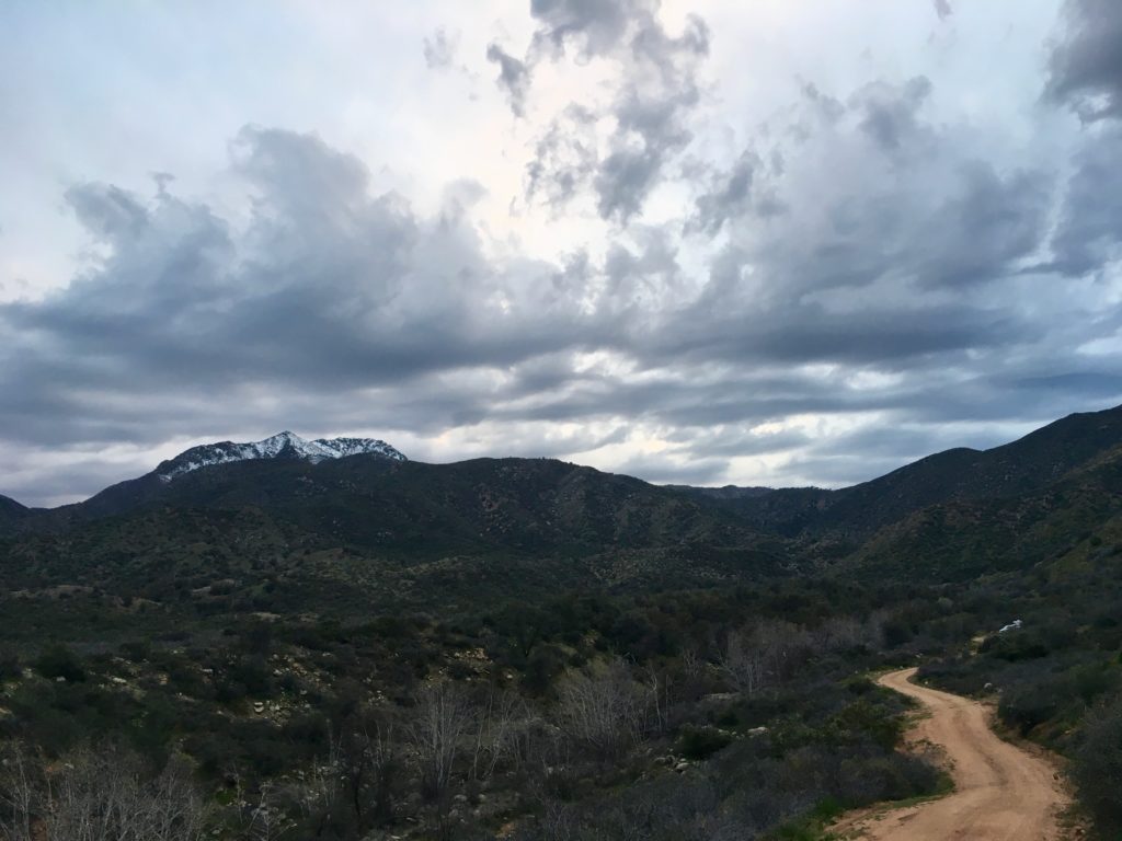
After the first mile off the highway on dirt road, you’ll need a higher clearance vehicle with at least all-wheel drive, like a Subaru, due to water crossings, rutting, and uneven road.

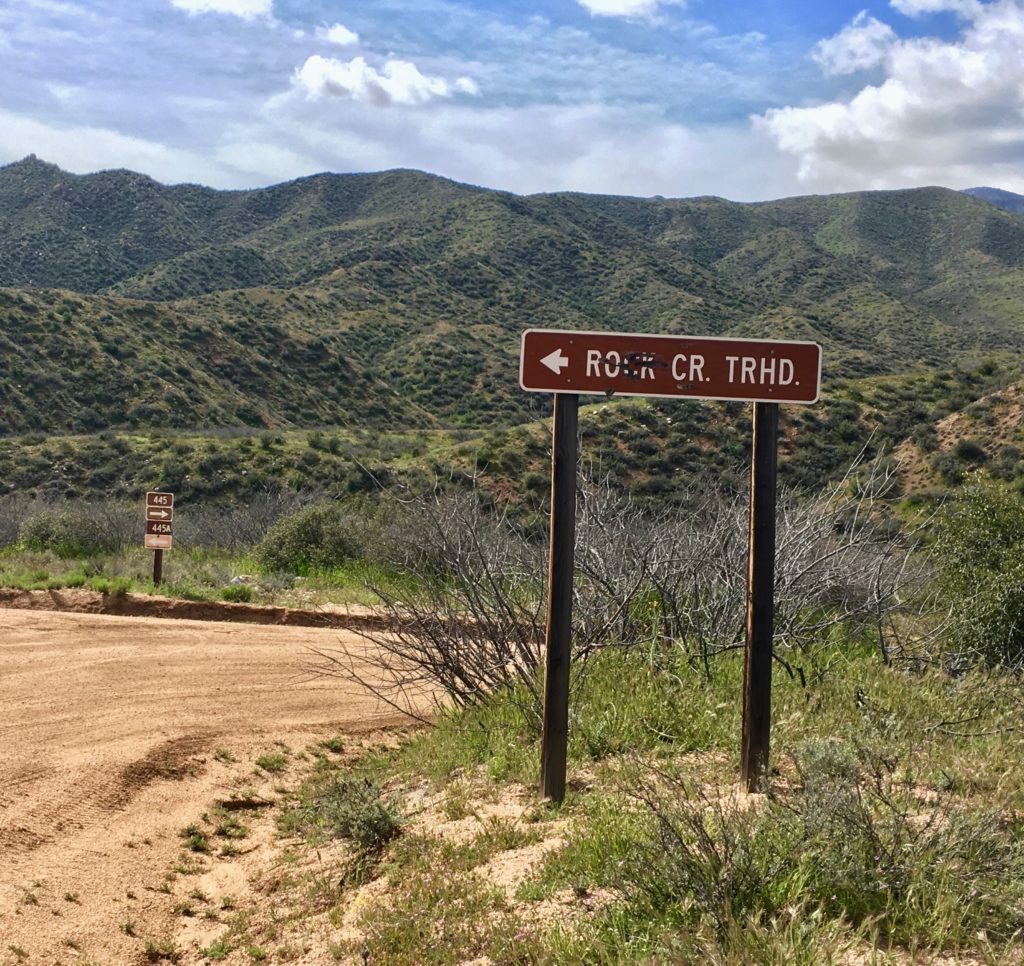
Travel north on state highway 188 from the Tonto Basin National Forest Ranger District Headquarters and Visitors Center. At Bermuda Flat Campground turn west on 3-Bar Road (Forest Road 445). Dispersed camping sites begin close to the intersection of HW 188 and FR 445 and are dotted along 14 miles of road that dead end in a bottomland of oak, birch, and cottonwood trees.

This is where Four Peaks Wilderness area begins with trailhead access to the Oak Flat and Lone Pine Trails. FR 445 provides limited motorized vehicle access to set up base camp. From here, miles of hiking- and horseback-only trails in protected wilderness provide for all skill levels.

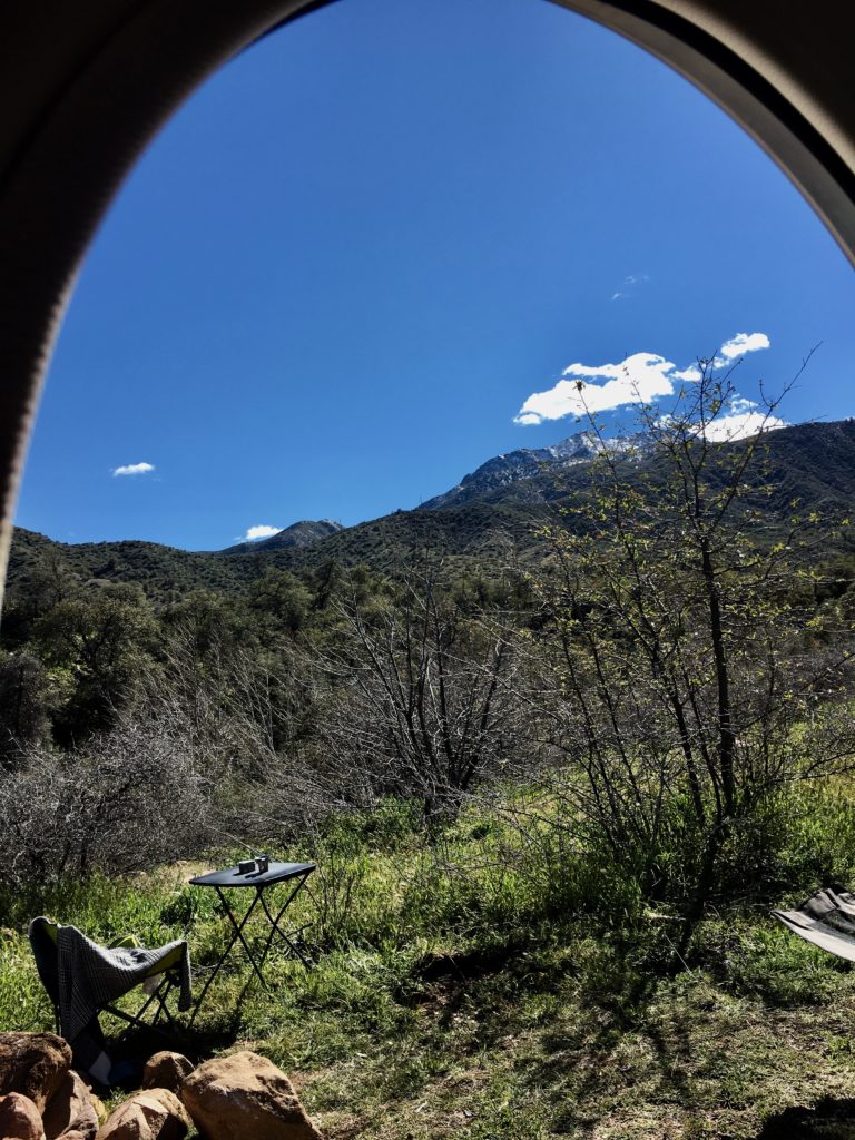
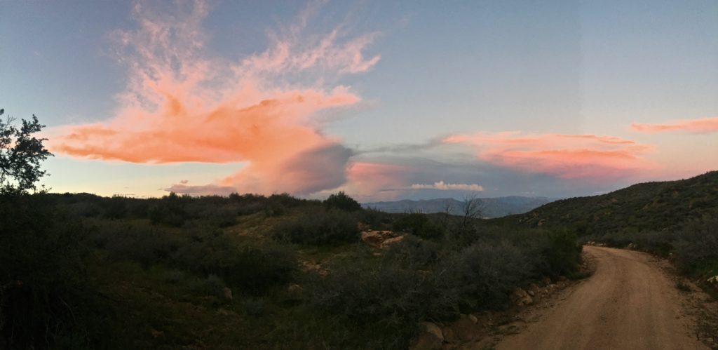
I set up camp on the ridge above Rock Creek because of the awesome vistas at top and easy access to the lower creek trail lined with trees and home to abundant wildlife. Bird viewing is supreme. Simple cross Rock Creek and go over another ridge to Oak Flat for wilderness trail access.

An Unexpected Surprise

Most surprising and appreciated was the cooperation and collaboration evident between so many local, county, state, and national governments.  The list is longer than most. While each maintains its own philosophy and approach there was not the sense of rigid territory, but rather many partnerships to insure the daily and long-term future of the Tonto Basin.

There is a pride of place and service permeating the work culture. Employees tend to be long-term veterans, passionate, knowledgeable, and accessible. Volunteers are ample and evident. Every day I met someone working in the wilderness that shared valuable information unique to the area.

I’ve never had this experience in my boondocking adventures and it was rare in my professional work with nonprofit organizations.  Perhaps it is also tied to the energy of this area I experienced that promotes a foundation of grounded peace and open awareness.

You Get What You Pay For

It’s also about the bottom line goal: public tax dollars vs. private profit. Tonto Basin is the largest campground operated by the federal, publically funded national forest service instead of contracted, corporate-owned concessionaires. The difference is quite apparent.

The federally funded forest service is driven by service to the public and protection of natural resources by employees of the public. This is a very different mission than profit for a private corporation.

Fees and Passes

Remember, Fourth Grade, Senior, and National Park and Forest Service “Access” pass holders have free admission to all parks and national forests and only pay half of Day Fees and Camping Fees. The Access pass is $80/year.

Full price for Roosevelt Lake Day Pass is $12 or $18 with watercraft. Camping ranges from $12 to $20 nightly.

Services

The Marina grocery store has very limited groceries and water with an adjacent bar. There is one small restaurant with gas closer to Roosevelt. Cell service is very limited.

Unexpected Outback Storms Train Mindful Living

Where I’m heading is often controlled by weather and my best map is actually a satellite weather forecast. But there’s a growing problem. Unpredictable weather patterns. Earth’s warming creates record-breaking wind and erratic, powerful storms that are difficult to forecast. There’s a silver lining in the reality that unpredictable weather produces sudden, unexpected storms. In the outback, it also trains mindful living.

Weather 2019

Today the winds alone can whip in at 80 mph causing plenty of trouble without factoring in rain, snow, floods, and fire.

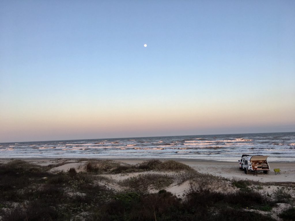
Outback folks like me are vulnerable when these unexpected winds blow dirt, mud, and brush in the air, blocking the sun and blocking visibility like in Carlsbad when I escaped to the caverns or when sudden waves swallowed my South Padre beach camp.

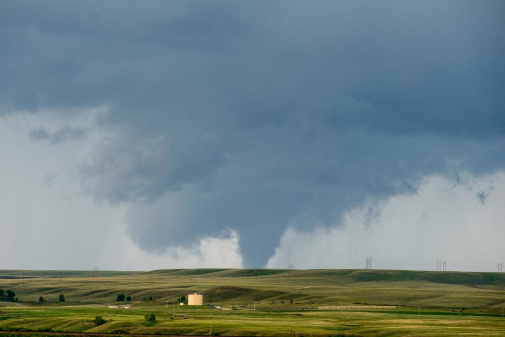
Credit: John Allen/Central Michigan University

Take 5. Stay Alive.

There’s a safety slogan on billboards lining the highways in southwest wind corridors. “Take 5. Stay Alive”. It means pull over. Turn off the car. Buckle up. If you have a helmet, put it on since blunt trauma to the brain is really bad mojo. Your best option on the open road is to shelter in the car and wait it out.

Sometimes neither car nor teardrop feels strong enough to withstand these storms. My reaction is to clench up and resist the threat, but that kind of mental rigidity can be deadly when weather blows up.

Is There a Better Way?

The best survival skill in the outback (and life) is an open awareness and acceptance of what is happening. Dropping the rigid control of my mind allows my gut and heart to see the possibilities and paths to safety. It invites miracles like the persistence urging to leave the shelter of camp in East Texas mere hours before a sudden storm flooded the area.

This experience is far easier when I let go and lean into the uncomfortable, scary places, instead of contracting into a tight mess and using rose-colored filters to hide my fear.

Be Still and Know God

Many a monk, nun, and pastor have trained me to quiet my mind living fully present, open to creation in each unfiltered moment. Christian, Buddhist, Judaism, Hinduism, all the world’s great religions have some form of “Be still and know God” practice.

I’ve grown to love the “be still” part in the autumn of life. My aging body regenerates and heals more quickly in receptive, relaxed spaces. Even my mind feels peaceful in the process of letting go.

For about eight seconds! Then it creates its own sudden storm monkeying around with all the ways mind-numbing stillness exposes my ego clenching to control.

Granted filters can be helpful in modern life. TVs blare at sick folks in doctors offices and hospitals, people prattle on the phone in the public restroom stalls, families eat silently while electronic screens pacify, mollify, stupefy. Fortunes rise and fall in sound bites broadcast 24/7. Sparkly filters make things appear and even feel better than they actually are.

But in the wilderness unexpected storms demand a stable connection to reality and access to wisdom beyond my own.

Internal Weather System Check

Buddhist monks taught me to cultivate an awareness of my own inner weather system first before trying to assess an external situation. Strap on my own oxygen mask first sort of deal. With practice, a few intentional breaths quickly calms, centers, and clarifies my experience.

I love Tara Brach’s teaching of free flight flowing from the “Two Wings” of meditation: Awareness and Allowing. Can I recognize and name what’s happening? Can I also honor it, let it be even if I don’t like or want it?

This mindful presence of my own internal status frees me from reacting blindly. It makes me laugh every time, but the simple awareness of what I’m really experiencing instantly calms emotions and relaxes the rigidity fear creates.

In this relaxed attentiveness, I can better see what is predominant, important, and possible. Mind, body, and spirit align to feel my instincts and follow divine guidance. Like the guru says, “you can’t stop the waves, but you can learn to surf.”

Simple Isn’t Always Easy

As an American, I’ve learned the value of sustaining a narrow, fixed focus on outcomes and filters. It’s a great way to get ahead in games.

It offered me no help or even comfort when disease and death waltzed through the door of my young family’s simple country life. Our goals, plans, and predictable life imploded with a single diagnosis.

Those years of resisting death’s intrusion are like my current arguments with unexpected storms. I often have to collapse from exhaustion before surrendering to reality.

Without fail leaning in and accepting reality actually revealed that the source of my greatest suffering was my rigid illusion of control over outcomes. I learned better options like cultivating flexibility, humor, and faith. This frame of reference yields a rich and meaningful life together, regardless of how much time we have.

My family also discovered peace and comfort flowed when we allowed the presence of death in our lives. We didn’t have to know all the answers or plan for every contingency. Our needs were met in ways that clearly revealed God’s persistent care. The epicenter of the implosion of diagnosis began to recover when we opened to today’s possibilities rather than clinging to yesterday’s rubble.

The Lesson Loops

In spite of that powerful life training, I certainly wasn’t open when I barely escaped being sucked to sea in that sudden Gulf storm last month. My mind wasted precious time in LaLa Land trying to analyze and understand the speed of the rising water. In a classic Princess move, I stomped my foot insisting the ocean stop swallowing the camp I worked so hard to get to! Ocean’s roaring reply triggered a tornado memory that jolted me into reality and sent me racing to safety.

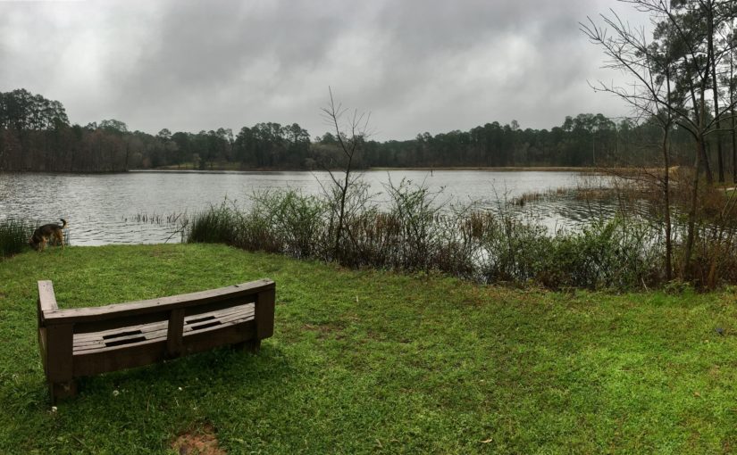
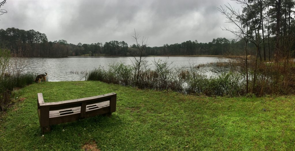
I drove for hours to the shelter of the forest where a soft foggy mist hovered over the still, peaceful lake surrounded by pine trees.

But something wasn’t right. I was deeply unsettled by a persistent tug to pack up and leave quickly. When the tug became an insistent shoulder tap I waved the white flag and accepted the bummer. I let go of my need to know why and hit the highway.

Turns out that camp was flooded that very day in a sudden, unexpected storm.

I’ve been taught again and again I’m not alone in life’s unpredictable, unexpected storms and I can access tremendous help if I’ll allow it.

Why Risk It?

There are reasons I’m driven to live integrated with the wilderness beyond being a wild woman. It most certainly improves my health and ability to handle a pain syndrome I live with. It also maintains a deep bond with Nature that began in my childhood.

My parents were scientists who raised me on an Oklahoma wildlife refuge. The Muddy Boggy Creek meandered through the eroded gullies of prairie and Cross Timbers. Stocked ponds dotted the property along with brush piles built to enhance wildlife shelter. Seed and corn feeders and salt blocks supplemented the healthy prairie grasses and natural vegetation for birds and animals. We sheltered abundant wildlife including threatened species.

In the winter storms of those days, I’d help Daddy break up the ice on the ponds for the flocks of birds who came for our ample suet, seed, open water, and brushy shelters.

Photo by Gerald Barnett via Birdshare.

Wildlife Forecasts Weather

Caring for wildlife taught me to forecast weather by watching wildlife. A day or two before storms hit birds (and bees if it’s warm) are busier, noisier, and less shy foraging for food. Coyotes, fox, and bobcats hunt closer to the homes looking for a rabbit, chicken, or pets to eat. Rodents forage without rest.

Just before the storm hits everything becomes quiet and still. No bird song or dog barks in the unified stillness. As a girl, I knew to race home from the creeks where I played when the woods grew quiet and still.

Do I even know how wildlife behaves hours before one of these unexpected, sudden storms hit camp? The natural world has already adapted in ways I’ve ignored. Wildlife doesn’t dig its heels in at LaLa Land arguing with the weather or pouting about the sudden change to plans.

I’m confident wildlife will still warn me even in sudden storms. But will I notice or listen?

My Body Forecasts Weather

Like many others, my own body is an accurate barometer. Pain and thick fatigue hit a few days before a weather change. I don’t like pain so I ignore it. I clench up and turn my rigid back to it, distracting myself from reality. See the pattern?

How can I even know I’m receiving weather warnings through body signs when I’m ignoring my body signs?

Today’s unexpected storms barely give me time to break camp before it hits. Frankly, it’s all so fast I don’t know what I’m really feeling because my kneejerk fear response is the imaginary comfort of LaLa Land.

My Needs Will Be Met

If I synthesize all of the life lessons from my wisdom teachers, death, my body, and wildlife I see each scenario taught the same simple lessons. Escaping to LaLa Land is a trap. Leaning into the sensations of fear or pain can open the way to safety. Even if that fails I’ll be better able to deal with it from a place of centered, attentive calm like wildlife do before a storm hits.

Sometimes it feels like Nature is shaking like a wet dog flinging us into a new eon where she can balance and heal. If I’m going to keep saying yes to this call to live integrated into the wilderness I owe it to myself, Rocky, and my family to adapt quickly to the reality of unexpected storms.

I intend to raise the surrender flag and keep it flying. Not only will life be easier but also flowing in gratitude for the ongoing guidance, lessons, and tools to thrive in both internal and external unpredictable weather.

Best Small Campground in East Texas

The beauty of nomad life is the ability to pack up camp and leave. Unexpected weather change can usually be handled with a move on down the road. But the deal is, “unpredictable” is the new weather norm. High winds, flooding, and snow are sweeping across the country much like the fires do in the summer. By the time you travel to forecasted clear weather and set up a camping site the winds shift bringing strong storms.

This month I traveled to the south and central regions of Texas because of historic snowstorms in the traditional winter havens in Arizona and California. When my beach camp on South Padre Island Beach Preserve disappeared under unexpected storm waves and strong winds I instinctively headed to the woods for protection.

Shelter in the Forest

Davy Crockett National Forest in East Texas. Photo by TXDOT.

One of the closest and most beautiful places to shelter in the forest from the starting point of South Texas gulf beaches is in the piney woods of the East Texas Forest Trail region.

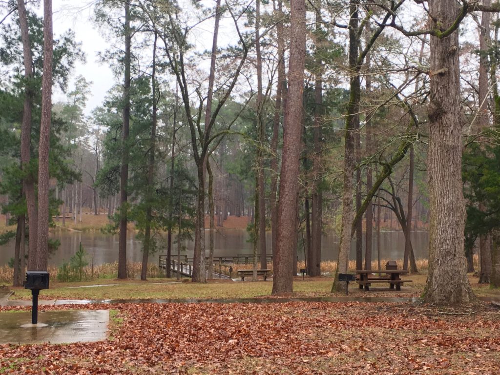
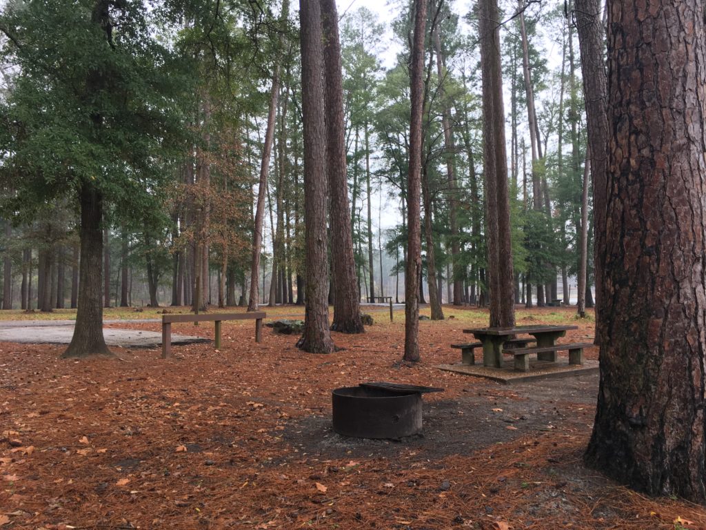
Young loblolly pines are maturing in forests of oak and beech surrounding old logging lakes. Hiking trails meander through abandoned homesteads, mills and buildings erected for trail life during the 1900-1920’s lumber boom. Spacious, impeccably maintained and monitored campground facilities meet every need.

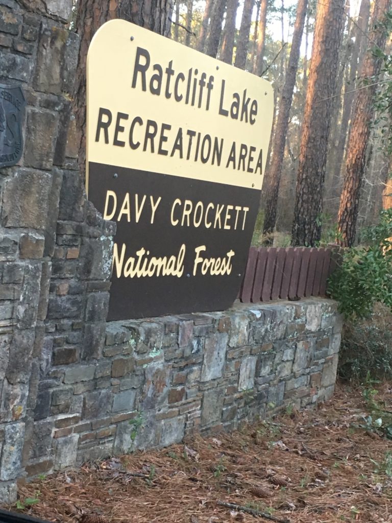
Ratcliff Lake Recreation Area in Davy Crockett

I was drawn to Davy Crockett rather than Sam Houston, Angelina, or Sabine National Forests because of a childhood memory of the Davy Crockett TV show. Driving from Southern Texas Hill Country north to Austin then east to Houston that song looped in my mind along with images of the beautiful rolling hills and forests featured in the old black and white TV show of the “King of the Wild Frontier” Davy Crockett.

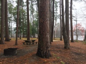
I settled into the Radcliffe Lake Recreation Area in the national forest just outside of Lufkin and Kennard Texas after a long day of driving interstates across Texas.

The Civilian Conservation Corp (CCC) built the camp in 1936 and preserved all the charm and character of that era.

Campground Ammenities

The grounds stretch around the small 45-acre lake with ample room between sites and plenty of electric and plumbing services to pamper campers. There’s also space preserved in gorgeous locations for walk-in, primitive tent camping.

In fact, the fingers of the Lakeside and Loblolly Loops have a tent group campsite on the point of a neck of the lake surrounded by several large primitive camping sites. There are ample potable water outlets on the loop.

It’s a good on-grid experience for us boondockers who camp only during the week, if ever, in an established campground.

Ratcliff Lake Recreation Area Has A Long History As Gathering Place

Long History As Gathering Place

Imprints from centuries of life in the forest flow from early Native American settlements to a booming logging business at the turn of the century and now, to today’s small, beautiful, and peaceful on-grid campground.

It’s easy to feel the layered generational memories from pow wows and large family camping reunions to intimate couple getaways or friends gathering for fishing and campfire getaways.

Facilities for Groups

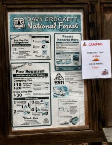
Camping and day use fees

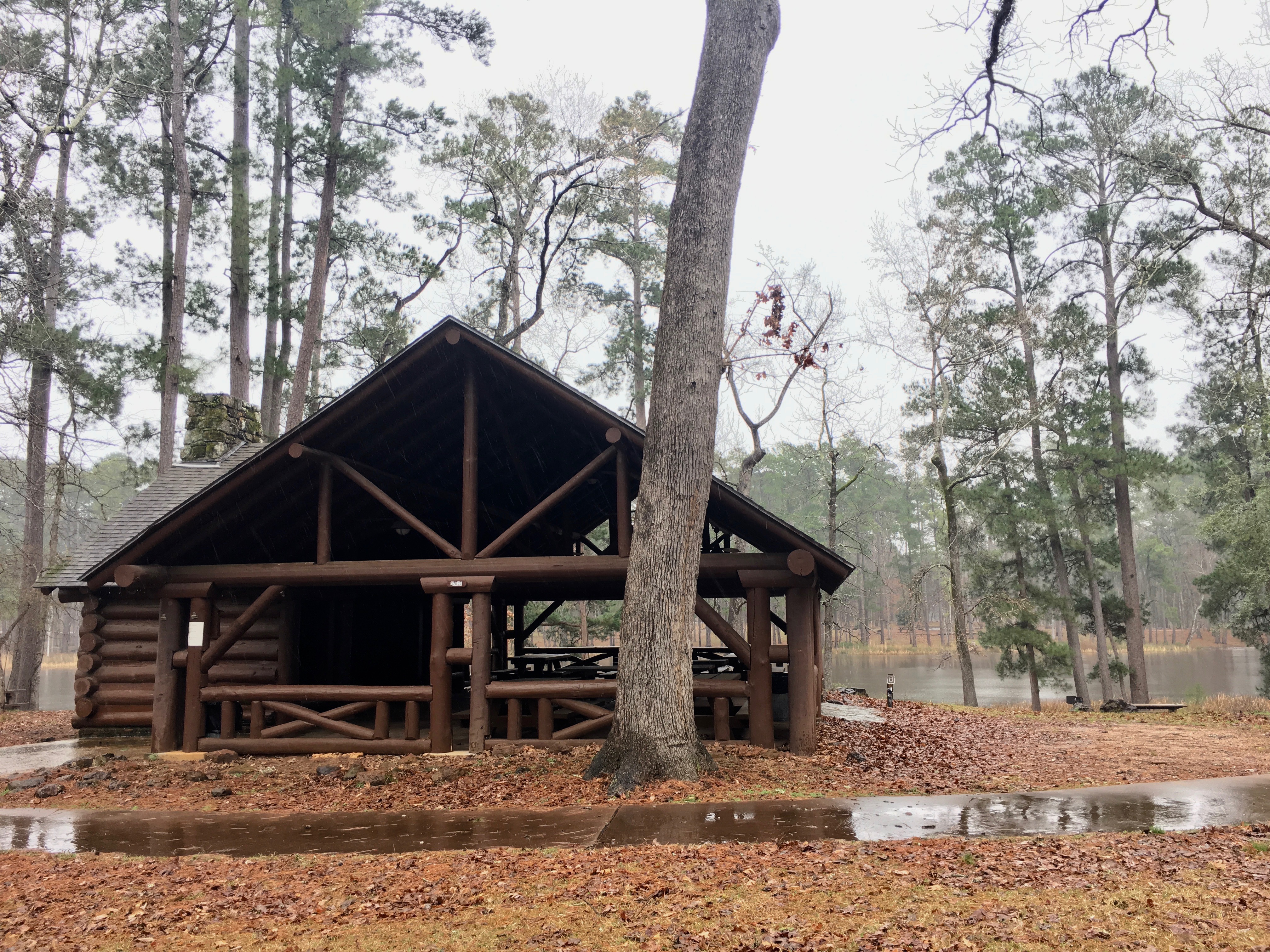
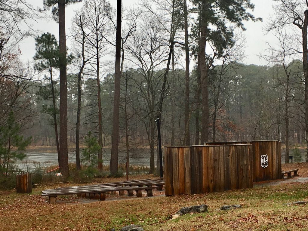
An amphitheater and two large sheltered picnic pavilions facing a roped-off swimming area vibrate with the history of weddings, revivals, church services, and easy, simple fun. There’s fishing, swimming, and boating on the quiet lake. Boat motors are not allowed. The icing on the cake? A concession area similar to a church kitchen. Can we say reunion?

Hiking Trails

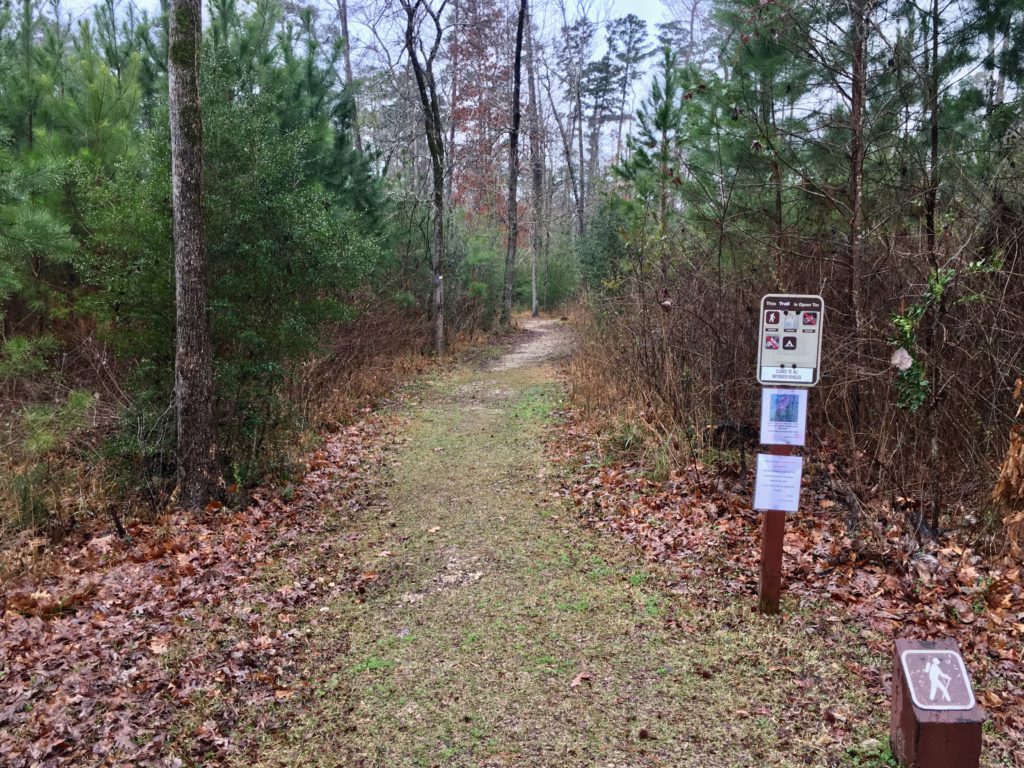
The camp is enveloped by over 160,000 acres of national forest. The 20-mile Four C Hiking Trail explores lower and upper pine and hardwood forest, boggy sloughs, and upland bluffs with scenic overlooks. The Big Slough Wilderness on the route has abundant wildlife and primitive campsites for backpackers.

There are two shorter interpretive trails and one 20-mile trail maintained in the Ratcliff Recreation Area.

Nearby History

Check out local history at the CCC Camp-888’s reconstruction of the 1690 Mission Tejas chapel north of Ratcliff on State Route 21. A few miles further north showcases Native American history at the Caddoan Mounds State Historical Park.

My Experience in Ratcliff Recreational Area

I arrived at Ratcliff camp in a shroud of mist seeping through the humid forest. Sunset colored the hovering fog over the lake. The site I selected backed up to the woods at the far edge of the campground. During the week there were only three RVs in the entire water and electric hook-up loop and only one tent camper down by the lake.

Shelter from the Storms

I was so grateful to be out of the shifting sands and pummeling winds and waves of the beach storm! The abundant wildlife, rustling pines, and tree frogs in the pines created the perfect soundtrack for the vista of gently rolling forested hills. A soft fog enveloped our teardrop nestled in the pines as Rocky and I settled in for a deep, hard sleep.

We woke to a steady but gentle rain. A couple hours later I gave up waiting for a rain break and geared up to make breakfast and hike in the soft February rain. It is a beautiful natural area reflecting a great deal of pride and skill maintaining the lake campground nestled in the East Texas woods.

Ampitheater

My Gut Said ‘Move On’

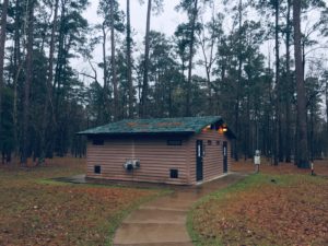
One of two bathhouses in the Ratcliff Recreation Area

In spite of the beauty, electric and water hook ups, and clean bathrooms with real flushing toilets and hot showers I couldn’t settle. My gut pressed me to move camp after hiking. I would rather snuggle in with a good book on a cold, rainy afternoon nestled in a gorgeous forest than act on nomadic instincts.

Nevertheless, by early evening I was on the road again. I’m learning to trust my gut even if I don’t understand it.

I popped onto Wi-Fi during my first break for gas and received a text alert for severe weather in the Daniel Boone National Forest where I had camped. Unexpected, strong storms hit suddenly. It ended up lasting two days. Roads closed due to flooding.

Searching national forecasts to find my next camp I discovered passengers were trapped in an Amtrak in a snowstorm in sunny California. Kids were building snowmen in Arizona. I’d already escaped two erratic storms and every instinct said burrow in.

Home Sweet Home

I’m grateful to be sharing this particular tale in front of a roaring fire in my home base in Norman, Oklahoma where we have freezing rain and snow in the forecast.

My teardrop is packed; gas tank is full and ready to go. My nomad gut is feeling a tug from southeastern Arizona. Fortunately my overly analytical brain is keeping my gut snoring gently by the fire’s warm glow.

For now…