Solitude, warm nights, sea breezes, and a full moon in dark night skies create the backdrop for a Valentine’s Day beach getaway. In my opinion the best free winter beach camping in the country is at South Beach in Padre Island’s National Seashore.
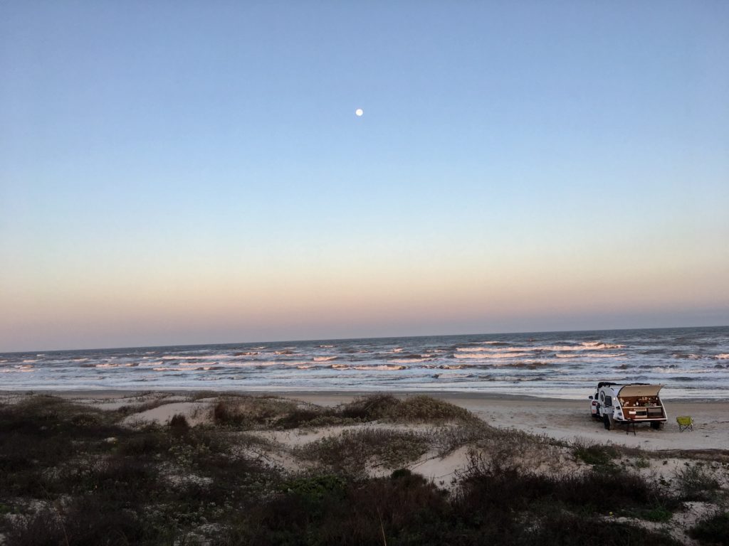
“Bigger in Texas” Padre Island National Seashoreis the world’s longest stretch of undeveloped barrier island. The seashore creates the first break, or barrier, before the sea winds and water slam into the mainland.
Rugged, remote, and prolific ocean wilderness
Coastline, dunes, prairies, and wind tidal flats are home to 380 bird species on 70 undeveloped miles of the preserve. You’ll see far more birds than people at this National Park.
All five species of Gulf sea turtles can be found on the island and surrounding waters. The Division of Sea Turtle Science and Recoveryworks to monitor and protect the turtles and is the only division of its kind in the National Park Service.
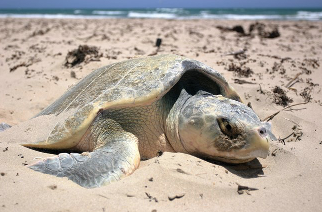
The endangered Kemp’s ridley sea turtle has safe nesting ground on these beaches and no effort is spared to save these turtles.
This is the setting for the best free winter beach camping in the US.
It Wasn’t Always So Beautiful
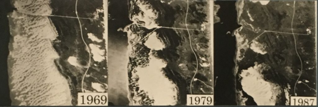
Four different nations have owned the expansive preserve on the Gulf of Mexico and none erected endless rows of condos. But the beaches and dunes had extensive damage from oil drilling and cattle grazing. Restoring the island to pre-European conditions became a goal in 1969. Two years later cattle were removed and Texaco paid for clean up of oil sites.
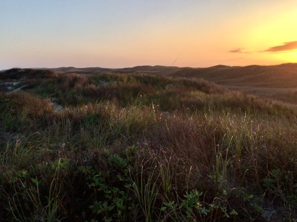
Today the mended island is a safe permanent and migratory home to Nature. And a perfect way to escape the city and hit the beach for free winter camping,
If you love isolation in Nature this is it. Almost.
The beach is a public road! You can drive up and down much of the national preserve beaches and even primitive camp or boondock free on the beaches.
My favorite area is South Beach because it is less crowded than North Beach located just outside the National Park’s preserve system and the sand is more packed. It also has fewer mosquitoes than Bird Island.
How to Get to The Best Place to Boondock on Padre Island
Take Hwy 358 southeast out of Corpus Christi. It becomes S. Padre Island Drive (SPID) and then Park Rd 22 and goes to park entrance directly. Entry fee is free with a National Parks Annual Pass or $10 per week. Be sure to register to camp at the entrance to South Beach at Padre Island National Seashore.
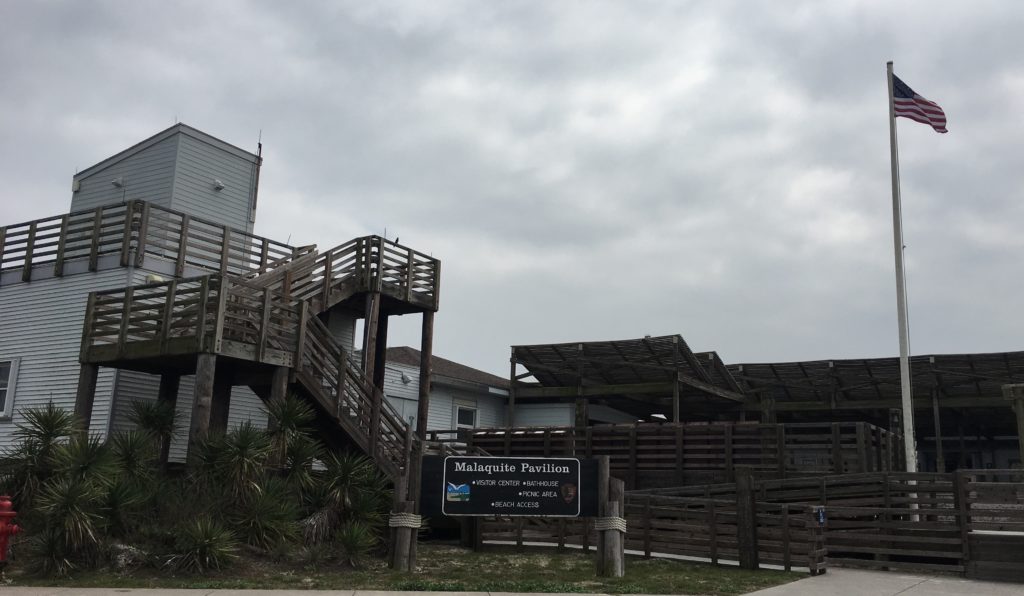
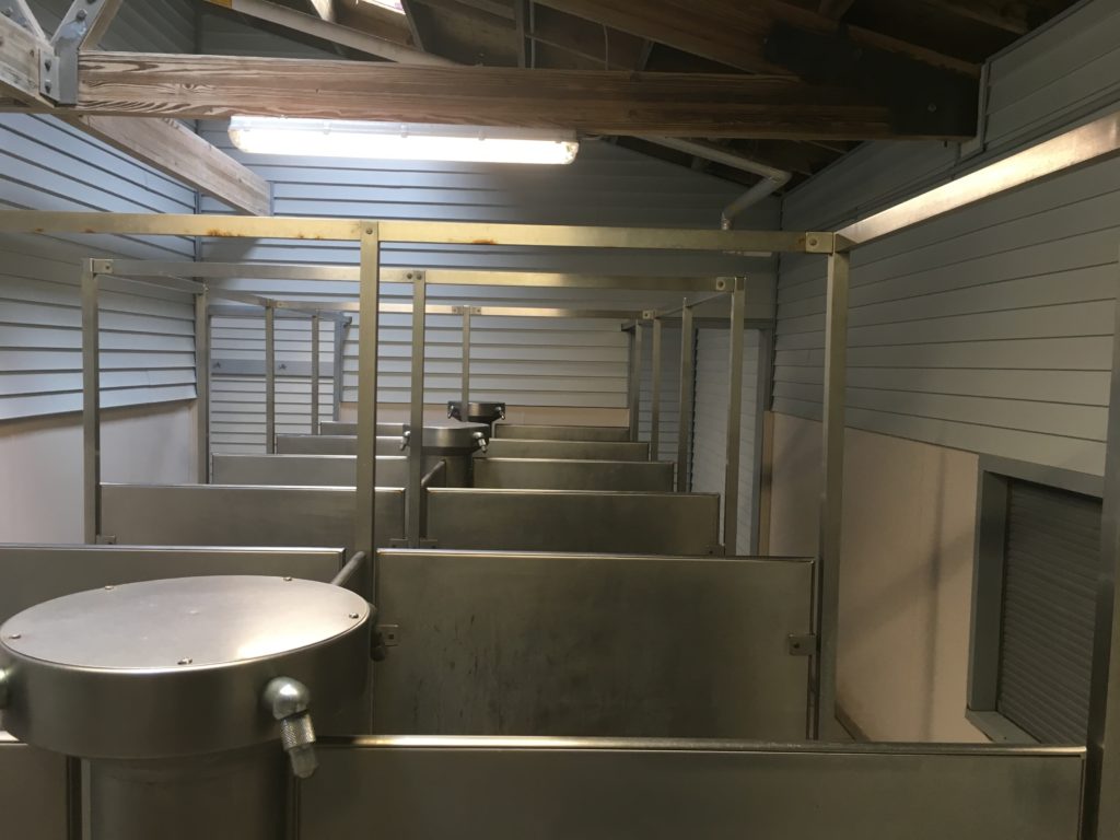
Stop at the Malaquite Visitor Center to get a copy of the tide tables and view exhibits of island history. Sign up for ranger led programs for birding and sea beaning. The center also sells ice and has cold water free showers.
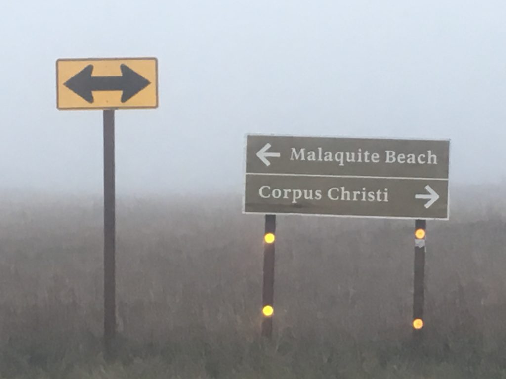
Access to the south beach road starts at the park paved road just past the Visitor Center. The first 5 miles of South Beach are accessible by two-wheel drive. Beyond the first 5 miles South Beach goes on another 60 4WD ONLY miles before ending at the jetties at the Port Mansfield channel.
Tips for South Beach Driving and Free Winter Camping
This free winter beach camping is primitive and remote so come prepared with plenty of water, food, shelter, and mosquito spray. There’s little to no internet past the Visitor’s Center so be sure to make one final check of weather and tides while there.
Set up camp a minimum of 100 feet from the waters up to the edge of the white sand dunes. No camping is allowed in the dunes.
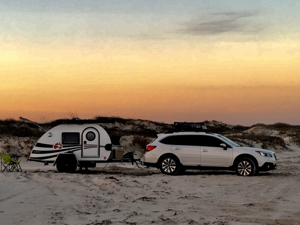
Just remember this is Texas public highway. Obey the standard laws – street legal, licensed, obey all traffic laws, speed zones, and remember to buckle up.
Because you’re gonna need to be strapped down to get to the perfect campsite. The sand road can disappear beneath surging waves forcing drivers closer to the soft, unpacked sand that can trap a car in seconds. Most of the road can disappear in high tide so plan accordingly or you’ll get trapped. Campers tend to set up in the 20-30’ section between the road and dunes.
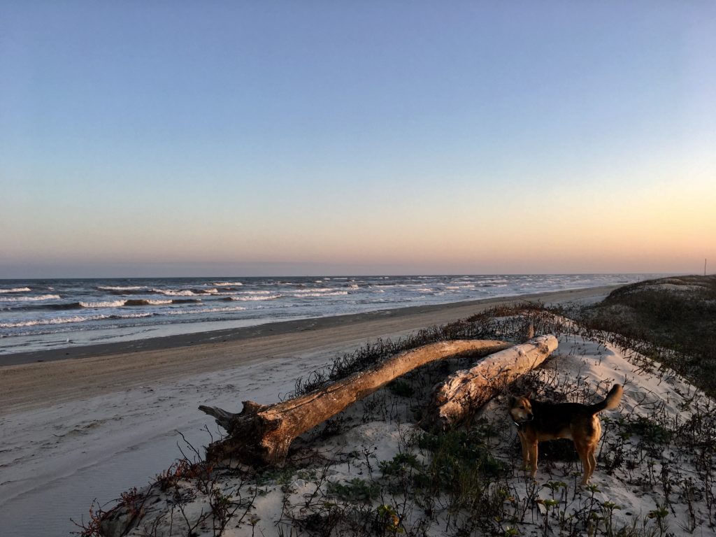
Small inlets created by eroding high tides can provide some break from the wind, but are also sand traps. Remember to look for a site 100 feet from the water and off of the sand dunes. Look for the high tide water mark and set up at least 10-15 feet above that mark. Factor in the anticipated tide level each day listed in the tide table forecast.
Be Prepared For The Unexpected
High temperatures in winter are usually between 50°-70°. The forecast was for low 50’s with sea fog. But the third night on my Valentine’s excursion a sudden, strong cold front barreled through. Gale winds blew and temperatures dropped quickly to the 30’s.
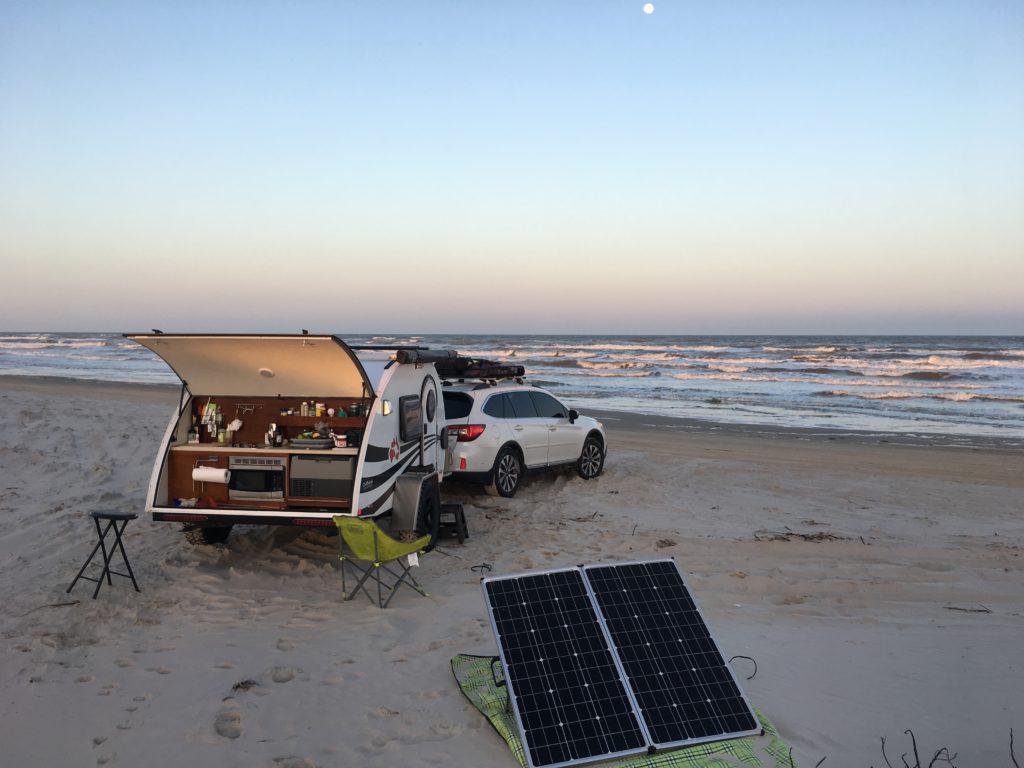
Rocky and I napped nervously through the irritable, howling night. Winds slammed logs in jams, created dunes around the rv, and forced sand into every possible crack and crevice. Even with the built-in stabilizer jacks deployed my rig swayed and lurched in high winds.
Morning awakened the rage of a winter storm that upended predicted tide levels. By mid-morning unrelenting brown waves thrashed each other in the race to shore. The ocean swallowed the beach road four hours before predicted high tide. My mouth dropped when waves began blowing into my cozy, sheltered cove at the edge of the dunes.
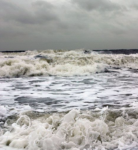
The power of the howling wind and rising waves roared like a tornado. Instinct grabbed control from my analytical mind still pondering how tide tables and weather forecasts could be as wrong as maps and GPS.
It didn’t take this plains gal more than two blinks to break camp, say a quick prayer, and drive nonstop through blowing wind, sand, and waves. Subaru’s all wheel drive combined with the offroad tires of my NuCamp RV made me howl with delight! Every time land slipped in surging water we quickly recovered forward progression.
Malaquite Visitor Center was crowded with campers surprised by the sudden winter storm that brought coastal flooding and wind advisories. I didn’t hang around to contemplate my options. Instinct was still in charge and it drove me far inland before I realized the escape had left a mark. I had no trailer lights and it was dark.
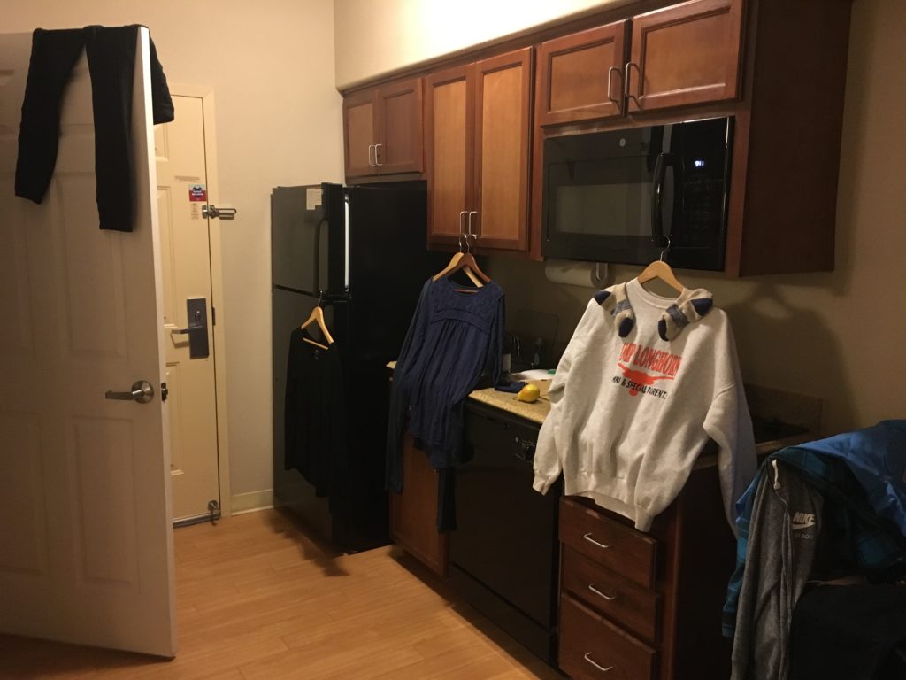
Deal is, the best winter beach camping adventure can end like this and there’s only one thing to do. Check into a hotel, take a long hot bath, catch up on laundry, run camp dishes through the dishwasher and binge watch all the Crocodile Dundee movies!
Special Thanks for Your Help!
The fantastic folks at Custom Tinting and Truck Accessoriesfound and replaced the trailer hitch fuse shorted by seawater. They even taught me how to change the fuses myself. Good thing since shorting fuses outside of the standard auto fuse box is becoming a thing with me. Thank you for the great work Johnny Salazar and team in Victoria, Texas!

Fortunately the teams at AAA Premier RV and Subaru’s Extended Warranty programs will cover the unexpected hotel and food expenses while my vehicle was out of commission. These two programs pay for themselves every year that I’ve been on the road.
Go prepared. Stay flexible. Have fun!

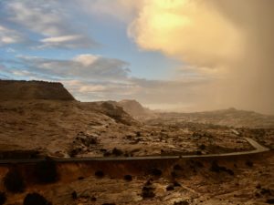
 This All American Road has 11 amazing national or state forests, parks, monuments, and recreation areas. You won’t want to miss any! Each is a destination in its own right, so give yourself ample time.
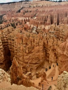 Spanning from
  time in a land that has shaped resilient, tenacious people. The range spans
 Vistas spanning hundreds of miles and eons of time offer a rare silence broken occasionally by the faint drone of airplanes. Sunrise and sunset delight the senses while expansive
  Scenic Byway 12 has two entry points.
 All American status
 A single lifetime is not nearly enough.
 I was too excited to sleep so we hit the water early.
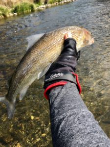
 As usual, the catch was smaller wild rainbows and browns in the three to six-inch range who fight like crocodiles.
 This time I knew the name of Frank’s hole when I stripped and jigged a beetle across the confluence of the cabin side stream and the roaring Madison.
 To add insult to injury my defeated slouch rolled me into the strong current filling my waders with ice cold water.
 I heard Rocky’s distant, sharp bark and shrill yelps just as I was pulling myself out of the water. Adrenaline slammed into my legs propelling me past cabins across Pickle Jar Meadow through the shoulder high
  thorny brambles over several downed logs and into the side stream calling for Rocky and getting no answer.
 Years of training, our combined stubborn will, and plenty of help from Frank, Joe, my Dad, and all the guardian angels in this stretch held Rocky frozen in that perilous perch until I lunged the last few yards and bear hugged his chest.
 for Rocky to wade. I’d have to carry him upstream through the current around the log jam to shore.
 before I hit the river to let me know she left a gift for me in the labyrinth center.
 Snuggled in a warm, soft blanket back at the cabin devouring homemade rosemary pear preserves, I am gratefully mindful that life doesn’t get any better than this.
 Northern Wyoming and Southern Montana with hundreds of alpine lakes, steep headwalls, horns, cirque, and hanging valleys.
 Absaroka Range with steep slopes and stunning shapes amid long valleys.
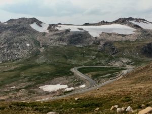 Combined these ranges create one of America’s most stunning visual masterpieces with infinite breathtaking vistas.
 you have any breath left after driving the thrilling twists and turns with steep drop offs on Chief Joseph Scenic Drive and the Beartooth Pass!
 is a top ranked engineering marvel and builder’s art.
 service roads, trails, campgrounds and boondocking sites.
 Be sure to take the
  While there, step back in time and experience how firefighters used the lookouts to fight fires in earlier days. Tools, maps, charts,
  and displays share the historical fire stories of these mountains. National Fire Service volunteers teach visitors about everything from fires to the oceans that once covered the region.
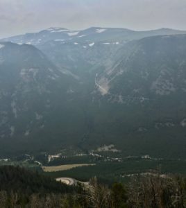 You can sure see the smoke in my story photos. I hoped to hold off on this blog until I could get clear photos of Beartooth Pass but I’ve never been to Montana when the skies were clear.
 I’ve learned that folks in the West talk about five seasons, the four we all know and Fire Season. Last year was a brutal record breaking fire season in Montana. So far in 2018 over 55,000 acres have burned in Montana and half of the counties are under air quality alerts.
 Experiencing the clear, big skies of Montana is still on my list. I’ve barely scratched the surface! Friends suggest rainy season in April and May. Winter is good but it’s a bit chilly with no heater. Rocky is a nice little heater but not that good!

 raspberry meadow on the roaring creek in the shadow of Crystal Peak outside Hill City, South Dakota. But I respect the other wanderers who fill the places I free up, so I sang travel songs and prayers into my pack and headed north to Big Horn country.
 grow deeper, faster, longer. Twenty square acres can offer snow-capped mountains, hills rolling into wide prairie valleys dropping to canyons laced with crystal streams, waterfalls, and roaring rivers. The entire universe can exist in one alluring square inch.
 There is also comfort in the northwest summer temperatures. Unlike the South’s wet sweat lodge heat, it’s quite simple to find cooling shade in the northern trees and bluffs. A nearby icy creek, river, or lake can relieve even the worst heat of the day and evening breezes bring the perfect chill for snuggling in.
 Social and sacred gathering sites like Medicine Lodge outside Hyattville, WY invoke feelings of going to grandma’s – on steroids. The bluff along Medicine Lodge Creek has been a gathering place spanning 10,000 years from Paleoindians to the Crow people. Each left a mark, a lesson, a sharing across the bluff’s 750-foot mural.
 Figures have been pecked, incised and painted by artists representing at least 60 different northern plains groups. The diversity and quality of the figures makes this massive mural one of the major rock art locations in the region.
  Late Prehistoric Period hunter-gatherers created most of the petroglyphs. Local tribes of Crow and Shoshone made the recent art during the 1700-1800’s. The work captures every single known, recorded figure of the northern plains artists.
 sage, and sweet grass. Medicine Lodge nurtures solo journeys where protective filters dissolve and the soul opens to sing, dance, pray, and play with the Universe.
 GPS is my only hope in the city. But the more the on-grid networks fade, the more I hear, see, feel, smell the way like I did as a child. It is simple but not easy to remember the way always shows up when I have exhausted all of my skills and let go of my planned outcomes. The way waits for me to ask and wraps me in sweet encouragement and obvious signs leading me to where I’m meant to be.
 I won’t try to use words to define the shelter of Medicine Lodge because it seems insulting to try to contain flow. I can assure you it is worth losing yourself to the Bighorn. May you and yours know the peace, grace, and welcome that appears when lost is found.
 Two weeks in downtown Minneapolis can suck the last drop out of a gal like me. I travel the rough back roads of this country solo and rarely feel vulnerable, afraid, or exposed. But a lot of time in most cities is draining. San Francisco, Montreal, and Istanbul are the exceptions.
 hikes along the downtown Nature trails infused Rocky and me. The festivals, museums, music, and food reflect an appreciation of high talent and passion. I’m grateful for the hospitality the fine staff at Town Suites on 2ndStreet offered Rocky and me.
 state parks are within an hour drive of the city. The flooding of St. Croix created an awesome canoe ride on a sunny Sunday.
 I knew what I needed and why. I didn’t know what state or national forest would answer my call for a cold, mountain creek with deep forest shade and enough flat space to set up camp. Frequent rain is a bonus.
 Firing up my orienteering brain, GPS, and the Forest Service’s off road maps we set off to find our next hermitage in the woods. But the answer to my call for a mountain peak and valley creek took me far beyond even Subaru’s impressive off grid GPS coverage. The paper map led me to blockades of private land, cut timber, and herds of cattle common in today’s national forests.
 One deep breath disabled the brain and my open, willing heart took the lead focusing with gratitude on the cool, moist breeze, towering spruce, green rolling meadows, and distant granite peaks. Each turn on the ATV trail offered more than I had planned or prepared for. What did it matter if there was no creek?
 A delighted laugh flew from my heart as I rounded a bend. A small clearing created when diseased trees were removed nurtured a new meadow
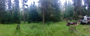 I couldn’t overthink camp set up because there was only one possible, perfect option. Shade for the camper, space for the shower/bathroom,
  stumps and cut timber for tables and chairs. The meadow was just right for optimum solar collection and a small deer trail led to the creek. I quickly assembled a basic camp and slept deeply to the sound of running water.
 Over coffee a curious bumblebee with an odd flight pattern feasted on purple flowers by my chair. He might have a limping flight but was not lacking in strength and agility I noticed lighting incense and settling into meditation.
 He was gone when I came back to physical awareness but returned often. His visits correlated with each new item I set up in camp. The two awnings, bathroom tent, a tablecloth over stumps to create a kitchen seemed to draw him like an inspector. He would hitch a ride on my feet, arms or hands.
 I would too! I thought watching him crash land on the kitchen counter and crawl onto the raw veggies to nap.
 Bee arrived with a hard landing on the map and danced in circles along the winding map trail markings. Between dances he slept, so still the only sign of life was the light reflecting in his eyes. So bees sleep with eyes open?
 By the third morning he had let go of gathering nectar in the meadow, preferring to stay snuggled in the altar bustling with a community of spiders, honeybees, beetles and ants. Extravert aye? I mused as I broke my “don’t kill the wildflowers” cardinal rule and placed his favorite purple flower next to him on the altar. He perked up and fed for hours between naps. I tucked him in that night with visions of angelic hives, prayers for peace, and a deep appreciation for his quiet companionship.
 Seemed fitting. Like Elijah, Bee reminded me to be bit more mindful of daily manna in the wilderness that defy life or death polarities. This elusive, often fleeting awareness deeply restores a vibrant, healthy, happy harmony in every part of me and has since I was a girl living in the woods with creeks and ponds.
 I practice a Native Hawaiian active meditation I learned long ago. When someone you love is suffering you can help by having a grand adventure and intentionally sending the vital life force to the one who needs help. It is powerful medicine.
 up my friends called him the Marlboro Man because of his outdoorsman persona, rugged good looks, and obvious membership in the Man’s Man Club. He was definitely someone who loved a wilderness adventure.
 Daddy would start trip planning in the dead of winter to cure our cabin fever. “Trip foreplay” was the best part of any adventure he’d say. He scouted out coordinates of some of his favorite mountain trails and streams, camping spots, even archery ranges. He’d send satellite images and I’d chart the maps first with
 orange dots that I would later connect at the end of each leg.
 Every time I got back on grid I would call and send pictures. He tracked me via satellite and always had specific questions about “that hole in the stream by that stand of oaks” or “the switchback trail to the peak.” He often warned me about tornadoes heading my way on prairie drives. The more details I could give him about the flying trout at
 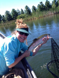 dawn in a mountain lake or the razorback hog my dog blocked from my path the more he would belly laugh or quiz me on my marksmanship.
 Our talent of living vicariously through each other expanded over the 14 years of this particular partnership. I believed in him and he believed in me. He had raised me to hike, hunt, fish, shoot, track, and live in Nature. If he ever worried about me he never mentioned it. Any bravery I had
  was because of his confidence in me. Our shared stubborn trait forced me to make a way out of some impossible situations just so I wouldn’t have to worry Daddy.
 expand opportunities. Last winter we began charting my first outback adventures in the teardrop. He didn’t live to see my launch in the spring.
 the pain, and just connect the orange dots! But control is a dangerous trickster and shortcuts in grief can leave big marks.
 When my heart soars down a mountain pass drive, or at the pull of “OMG it’s a monster fish!” Daddy is no longer stuck in his rocking chair waiting to hear my stories. His surge of joy feels stronger than my own and I often exclaim “Oh Daddy LOOK!”

 But on Sunday Oak Creek Canyon reminds me of ants at a summer picnic. Sedona tourism has tripled in the last decade with over two million annual visitors. On any given weekend thousands pack the roadway, parking lots overflow both sides of the highway, and bumper-to-bumper one-lane traffic inches through the gridlock. The highway flows into downtown Sedona and every artery is an organized bottleneck thanks to abundant roundabouts.
 Take HW 89A west from Sedona to mile marker 365. Turn right on Forest Rd 525 – Red Canyon Road. From entry to Palatki Ruins are many clearly marked pullouts. Some can accommodate numerous rigs while others are perfect for a small tent.
 Mongollon Rim with Secret, Bear, and Lost Mountains on the east and Black, Sugarloaf, and Casner Mountains on the north and west.
 Like all of Sedona it can get crowded and it’s worth venturing past the first spots. The area has many
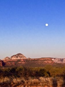 that seem close enough to touch.
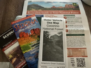

 National Forest campsites are larger than the
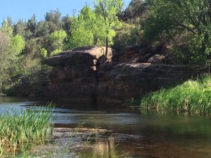
 It can accommodate small RV’s and tent campers on acres of open pasture and forested shade. Rates range from $20-$35/day. Camp Avalon is located at 91 Loy Lane in West Sedona off of 89A. Reservations available at
  The hiking trails of Sedona are some of the nations best so it’s worth the realities of camping in a heavy tourist area. The
