 Two weeks in downtown Minneapolis can suck the last drop out of a gal like me. I travel the rough back roads of this country solo and rarely feel vulnerable, afraid, or exposed. But a lot of time in most cities is draining. San Francisco, Montreal, and Istanbul are the exceptions.
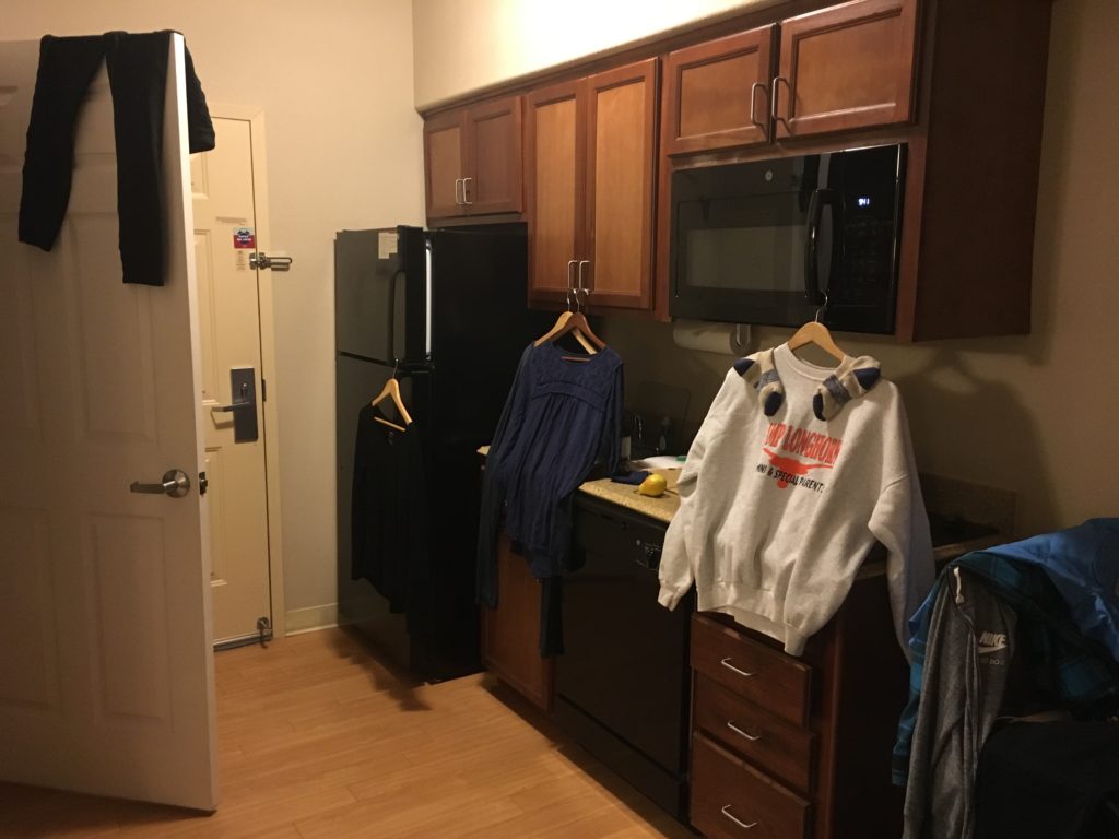
My hat is off to the founders of Minneapolis who preserved the green space along the Mississippi River flowing between the Twin Cities. Daily  hikes along the downtown Nature trails infused Rocky and me. The festivals, museums, music, and food reflect an appreciation of high talent and passion. I’m grateful for the hospitality the fine staff at Town Suites on 2ndStreet offered Rocky and me.
The St. Croix River and several gorgeous  state parks are within an hour drive of the city. The flooding of St. Croix created an awesome canoe ride on a sunny Sunday.
We bid farewell to the Twin Cities with one urgent goal – restore the balance off grid. I was so depleted I loaded up enough groceries, water, propane, permits, and maps to avoid town. Forever!
 I knew what I needed and why. I didn’t know what state or national forest would answer my call for a cold, mountain creek with deep forest shade and enough flat space to set up camp. Frequent rain is a bonus.
We drove east past the crystal clear mountain lakes of Minnesota and the blazing Badlands of South Dakota without a second glance. But the Black
Hills National Forest pinged images of moving water, cool breezes, and the smell of evergreens.
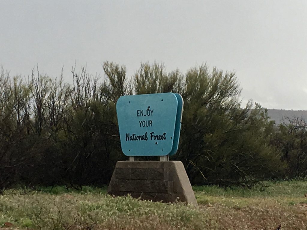
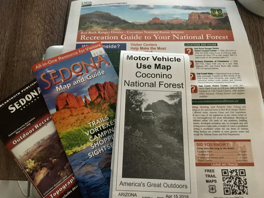
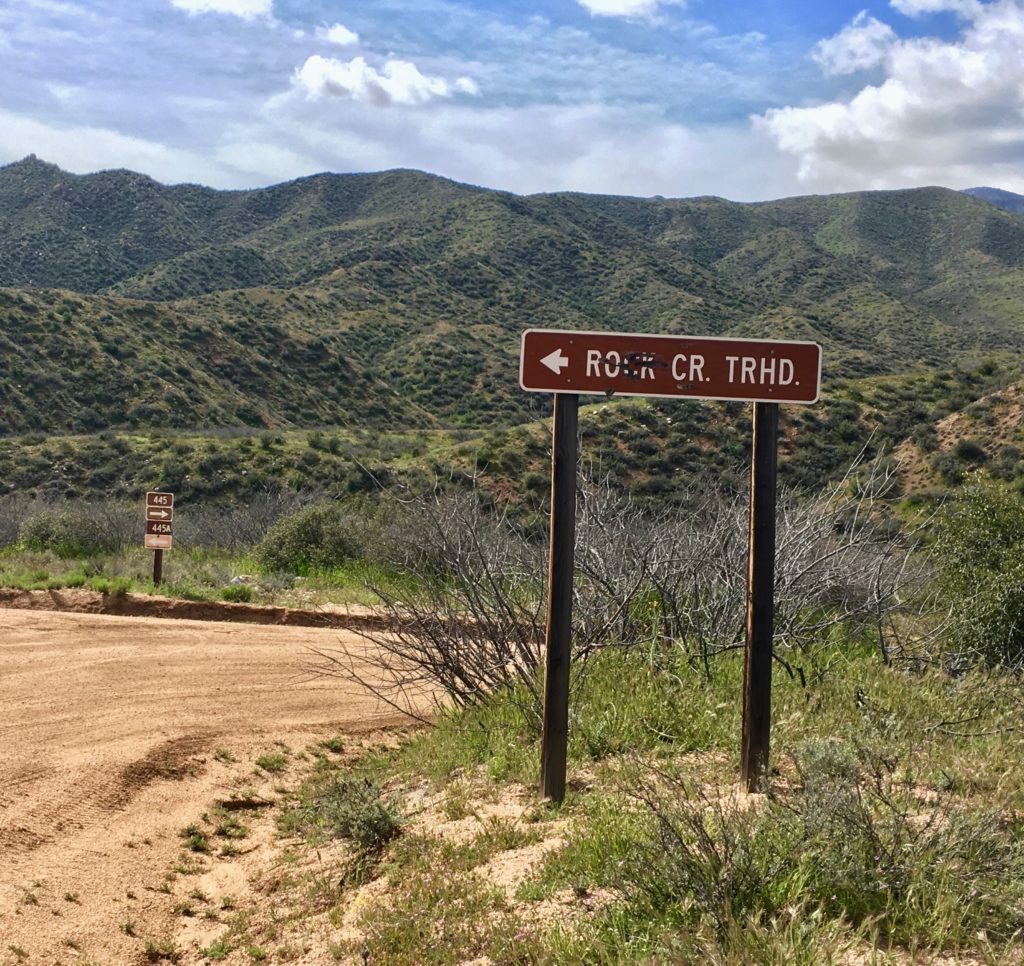
 Firing up my orienteering brain, GPS, and the Forest Service’s off road maps we set off to find our next hermitage in the woods. But the answer to my call for a mountain peak and valley creek took me far beyond even Subaru’s impressive off grid GPS coverage. The paper map led me to blockades of private land, cut timber, and herds of cattle common in today’s national forests.
I could feel the place in my heart, but I couldn’t find it with my head. Frankly I thought I knew the plan but all I really had were clear visions, longing, dreams, journals, stories, and prayers guiding my life. Eyeing the setting sun I let go of outcomes. I’d make due. And due would make me as it always does.
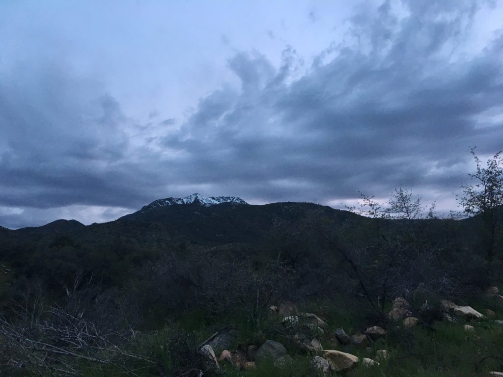
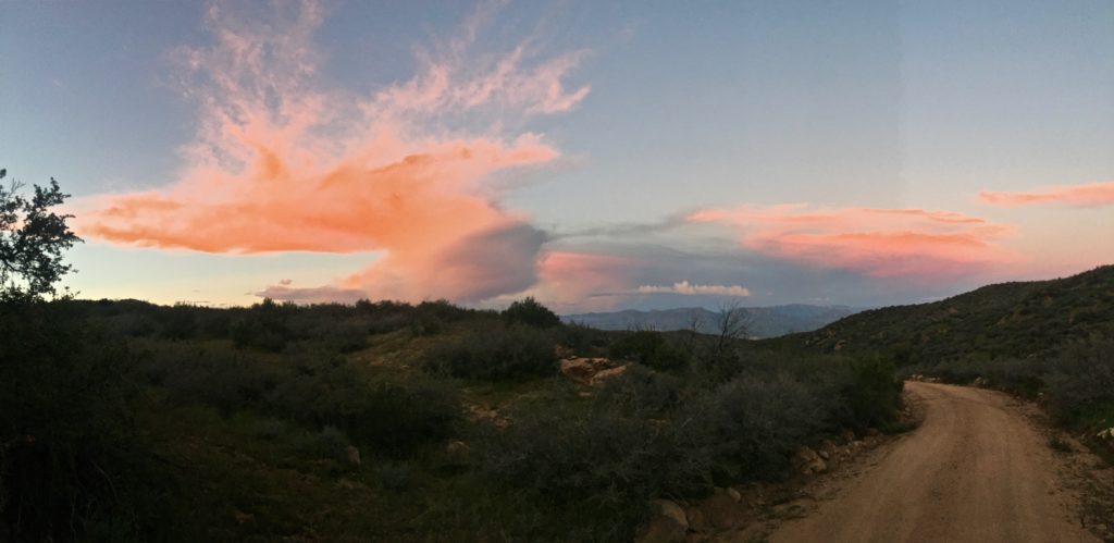
 One deep breath disabled the brain and my open, willing heart took the lead focusing with gratitude on the cool, moist breeze, towering spruce, green rolling meadows, and distant granite peaks. Each turn on the ATV trail offered more than I had planned or prepared for. What did it matter if there was no creek?
On a last minute whim I took a left on what appeared to be a wagon trail from the old west.
Never turn left, my brain piped in, reminding me of the crash statistics on left turns.
Almost there Cindy. You are almost there, my heart replied.
Right. Sorry I got in the way for so long. Thank you for this, I whispered crossing a cattle guard opening to a large meadow blanketed with flowers.
 A delighted laugh flew from my heart as I rounded a bend. A small clearing created when diseased trees were removed nurtured a new meadow
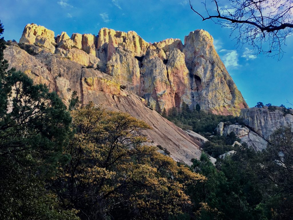
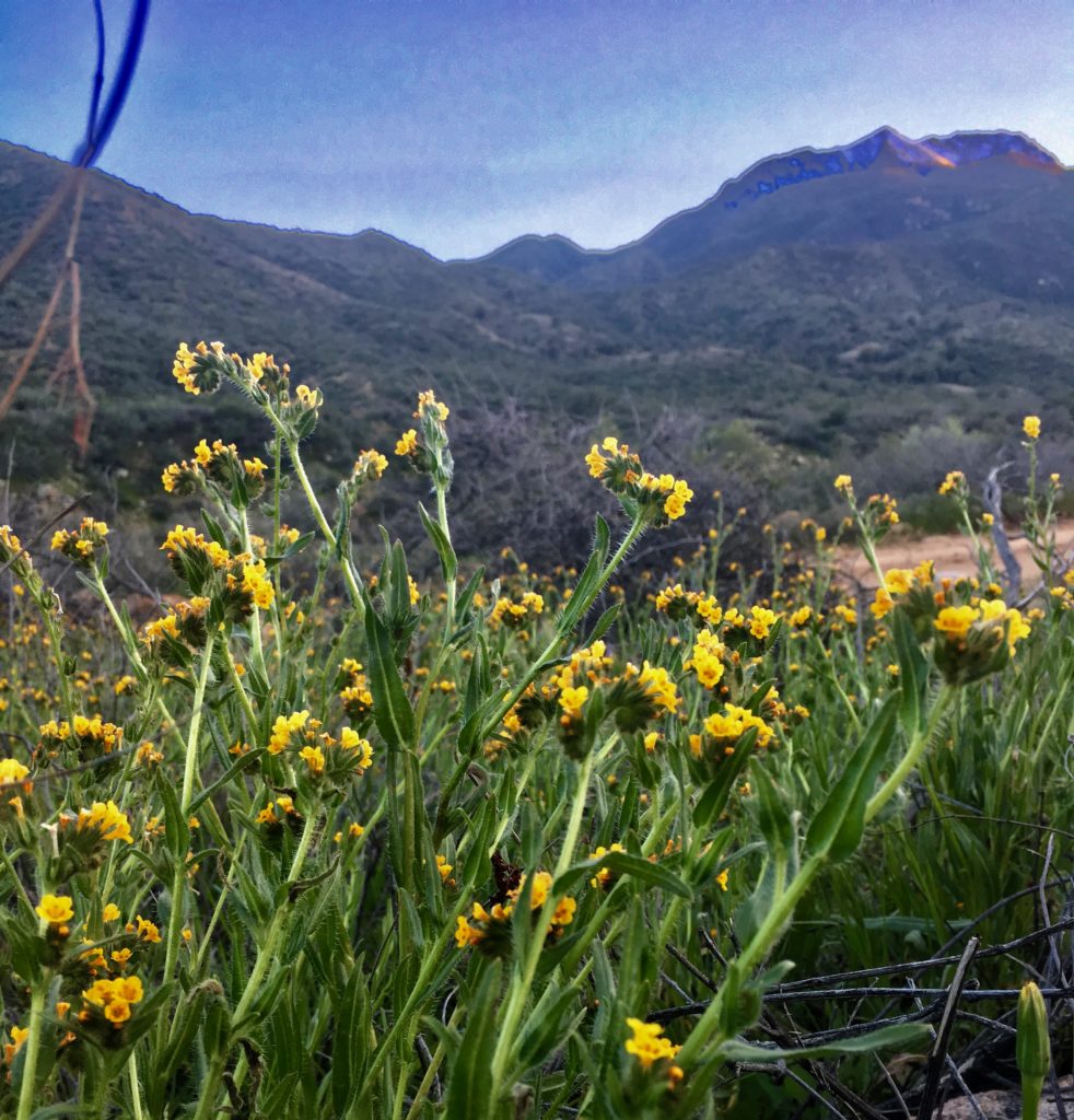
bursting with baby raspberry plants, brilliant flowers, and strong, native grasses. A wide and swift creek flowed beneath towering granite cliffs framing the meadow. Centuries of evergreen needles made the ground soft, flat, and fragrant. The sun disappeared beyond the cliffs while I danced in joyful circles around the meadow laughing and singing.
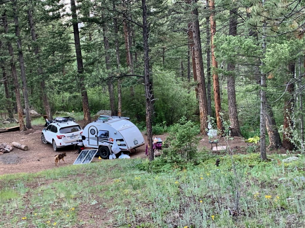
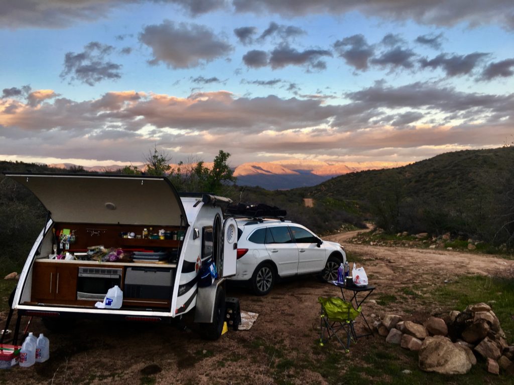
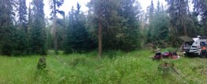 I couldn’t overthink camp set up because there was only one possible, perfect option. Shade for the camper, space for the shower/bathroom,
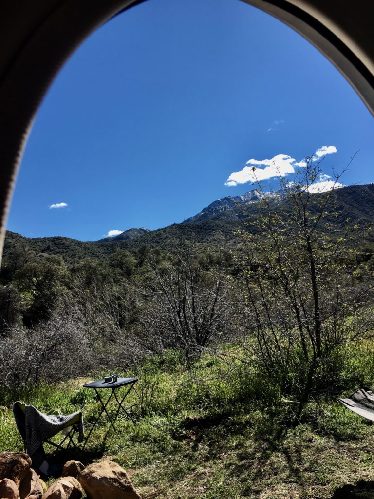
  stumps and cut timber for tables and chairs. The meadow was just right for optimum solar collection and a small deer trail led to the creek. I quickly assembled a basic camp and slept deeply to the sound of running water.
The nudge at dawn was annoying enough to be effective. Quickly wake up! Look! Outside my door was a breath-taking, eight-point buck grazing in the meadow with a juvenile male sporting new antlers. I flashed on Bambi’s Dad showing him the ropes in the forest. Mimicking Bambi’s Mother’s I sadly whispered “Man was in the forest today,”and the big buck looked my way before trotting up the hill with a snort and quick flash of tail.
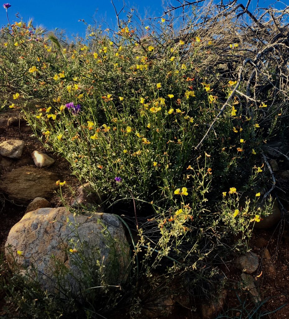
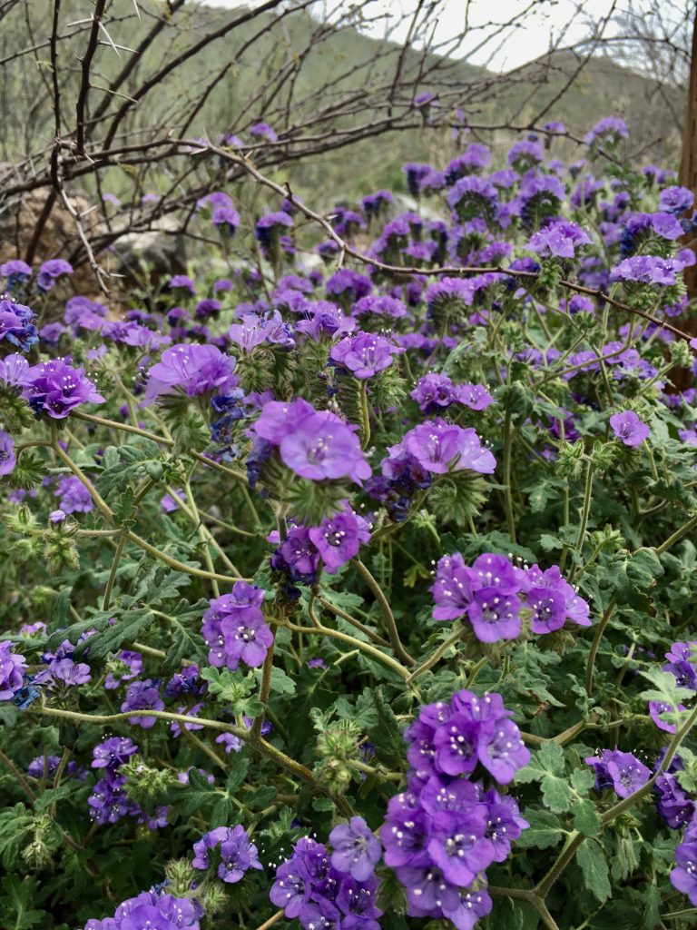
 Over coffee a curious bumblebee with an odd flight pattern feasted on purple flowers by my chair. He might have a limping flight but was not lacking in strength and agility I noticed lighting incense and settling into meditation.
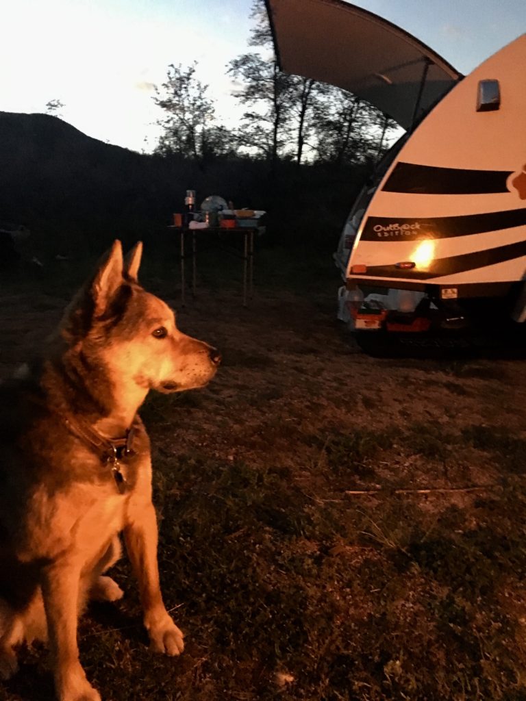
 He was gone when I came back to physical awareness but returned often. His visits correlated with each new item I set up in camp. The two awnings, bathroom tent, a tablecloth over stumps to create a kitchen seemed to draw him like an inspector. He would hitch a ride on my feet, arms or hands.
 I would too! I thought watching him crash land on the kitchen counter and crawl onto the raw veggies to nap.
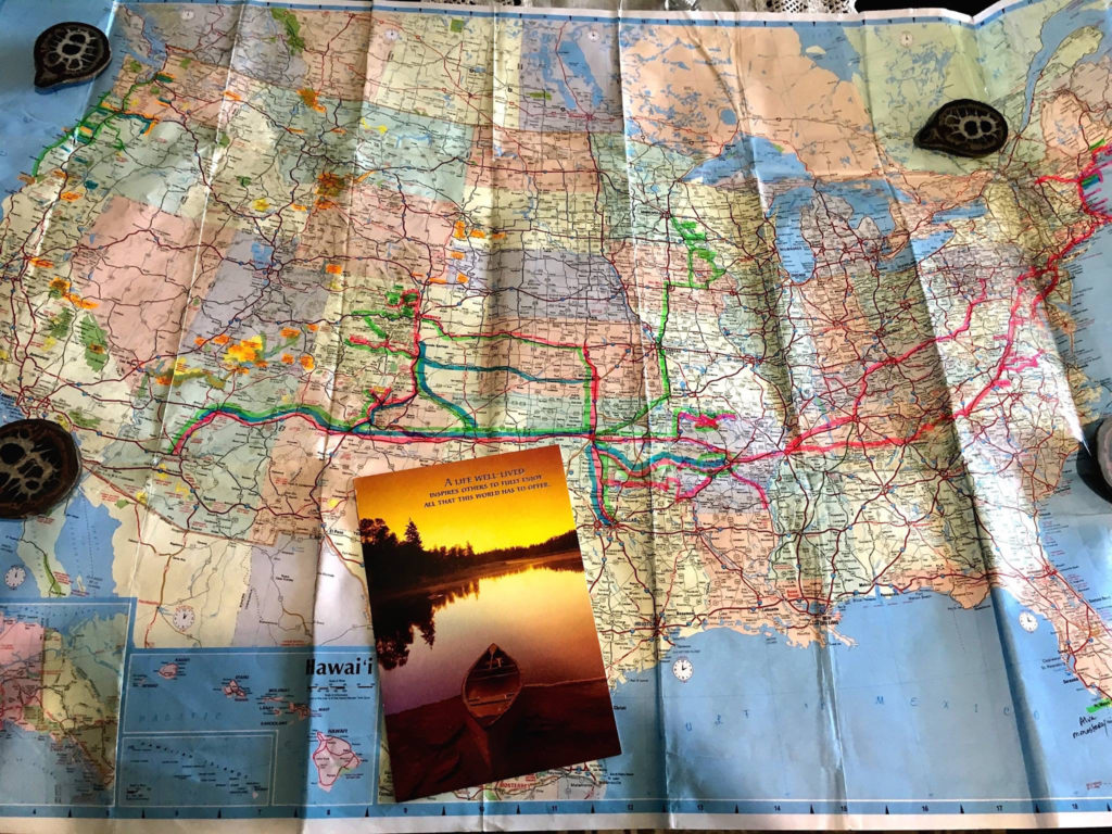
The second day, eager to satisfy my curious brain I gathered up maps settling at the table to identify our coordinates now that we had hiked the area. I could visualize how the last minute left turn had taken me through private land with access to Crystal Peak and Creek. Now to verify that theory.
 Bee arrived with a hard landing on the map and danced in circles along the winding map trail markings. Between dances he slept, so still the only sign of life was the light reflecting in his eyes. So bees sleep with eyes open?
I’ve never observed bee sleep so can only guess that’s what it was. If I nudged him he would crawl into my hand and drift back off. He napped a lot, especially in the spruce branches I had harvested from a newly cut tree to use on the altar. In the world of bee blessings I knew I had hit the jackpot even as my awareness of his declining condition grew.
No big surprise here, I mumbled acknowledging that if humans find me to midwife death why not a bumblebee?
 By the third morning he had let go of gathering nectar in the meadow, preferring to stay snuggled in the altar bustling with a community of spiders, honeybees, beetles and ants. Extravert aye? I mused as I broke my “don’t kill the wildflowers” cardinal rule and placed his favorite purple flower next to him on the altar. He perked up and fed for hours between naps. I tucked him in that night with visions of angelic hives, prayers for peace, and a deep appreciation for his quiet companionship.
The next morning he was gone. I searched but never found him. My mind filled with images of Elijah the Bee ascending in a chariot of meadow flowers.
 Seemed fitting. Like Elijah, Bee reminded me to be bit more mindful of daily manna in the wilderness that defy life or death polarities. This elusive, often fleeting awareness deeply restores a vibrant, healthy, happy harmony in every part of me and has since I was a girl living in the woods with creeks and ponds.
Profoundly simple. Nothing fancy. Just Nature showing up as Bee leading the way through miracles and magic in the great outback.





 Two weeks in downtown Minneapolis can suck the last drop out of a gal like me. I travel the rough back roads of this country solo and rarely feel vulnerable, afraid, or exposed. But a lot of time in most cities is draining. San Francisco, Montreal, and Istanbul are the exceptions.
 hikes along the downtown Nature trails infused Rocky and me. The festivals, museums, music, and food reflect an appreciation of high talent and passion. I’m grateful for the hospitality the fine staff at Town Suites on 2ndStreet offered Rocky and me.
 state parks are within an hour drive of the city. The flooding of St. Croix created an awesome canoe ride on a sunny Sunday.
 I knew what I needed and why. I didn’t know what state or national forest would answer my call for a cold, mountain creek with deep forest shade and enough flat space to set up camp. Frequent rain is a bonus.
 Firing up my orienteering brain, GPS, and the Forest Service’s off road maps we set off to find our next hermitage in the woods. But the answer to my call for a mountain peak and valley creek took me far beyond even Subaru’s impressive off grid GPS coverage. The paper map led me to blockades of private land, cut timber, and herds of cattle common in today’s national forests.
 One deep breath disabled the brain and my open, willing heart took the lead focusing with gratitude on the cool, moist breeze, towering spruce, green rolling meadows, and distant granite peaks. Each turn on the ATV trail offered more than I had planned or prepared for. What did it matter if there was no creek?
 A delighted laugh flew from my heart as I rounded a bend. A small clearing created when diseased trees were removed nurtured a new meadow
 I couldn’t overthink camp set up because there was only one possible, perfect option. Shade for the camper, space for the shower/bathroom,
  stumps and cut timber for tables and chairs. The meadow was just right for optimum solar collection and a small deer trail led to the creek. I quickly assembled a basic camp and slept deeply to the sound of running water.
 Over coffee a curious bumblebee with an odd flight pattern feasted on purple flowers by my chair. He might have a limping flight but was not lacking in strength and agility I noticed lighting incense and settling into meditation.
 He was gone when I came back to physical awareness but returned often. His visits correlated with each new item I set up in camp. The two awnings, bathroom tent, a tablecloth over stumps to create a kitchen seemed to draw him like an inspector. He would hitch a ride on my feet, arms or hands.
 I would too! I thought watching him crash land on the kitchen counter and crawl onto the raw veggies to nap.
 Bee arrived with a hard landing on the map and danced in circles along the winding map trail markings. Between dances he slept, so still the only sign of life was the light reflecting in his eyes. So bees sleep with eyes open?
 By the third morning he had let go of gathering nectar in the meadow, preferring to stay snuggled in the altar bustling with a community of spiders, honeybees, beetles and ants. Extravert aye? I mused as I broke my “don’t kill the wildflowers” cardinal rule and placed his favorite purple flower next to him on the altar. He perked up and fed for hours between naps. I tucked him in that night with visions of angelic hives, prayers for peace, and a deep appreciation for his quiet companionship.
 Seemed fitting. Like Elijah, Bee reminded me to be bit more mindful of daily manna in the wilderness that defy life or death polarities. This elusive, often fleeting awareness deeply restores a vibrant, healthy, happy harmony in every part of me and has since I was a girl living in the woods with creeks and ponds.
 The heart and soul of the Colorado Plateau in southern Utah is expressed through canyons, arches, spires, and mesas carved by the Green and Colorado Rivers.
 It’s almost impossible to wrap my mind around so much stunning beauty but it is as natural as breathing to allow all of that to become all of me. In my prayers and practices it also flows to each of you.
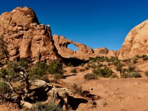 Inside both parks there is no food, gas, or other amenities. Each has one national parks campground.
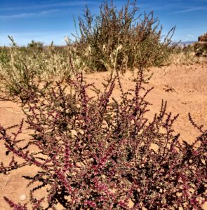 and animals still live in much of this remote, rugged, and wild countryside. Lots of folks call it “The American Wild West” but it’s been around much longer than we have and God willing will continue long after we’re gone.
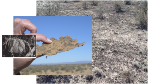
 A thin, fragile veneer of biological soil crushed by your footprints alone (compression) may require five to seven years to recover. Cyanobacterial growth can take 50 years and lichens/mosses even longer.
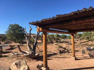
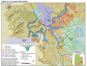
 The Moab BLM Field Office manages over two million visitors annually on 1.8 million acres in the heart of the Colorado Plateau.
 Weather can make unpaved roads impassable. Check with rangers for latest conditions.
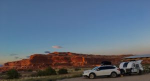 Lone Mesa Group Camp
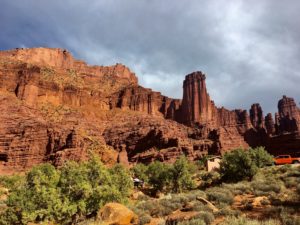
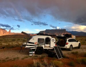
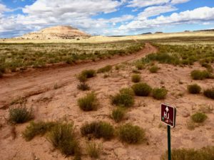
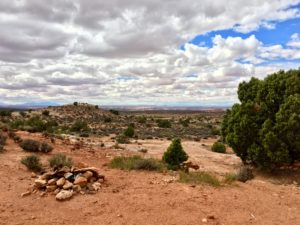

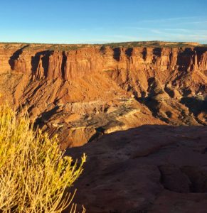 Hardscrabble – South of Hardscrabble Bottom
 Murphy Hogback – near Murphy Point trails