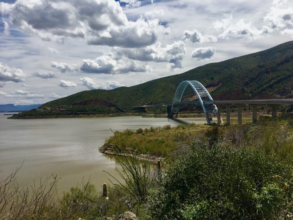
Something for Everyone at Roosevelt Lake, Arizona

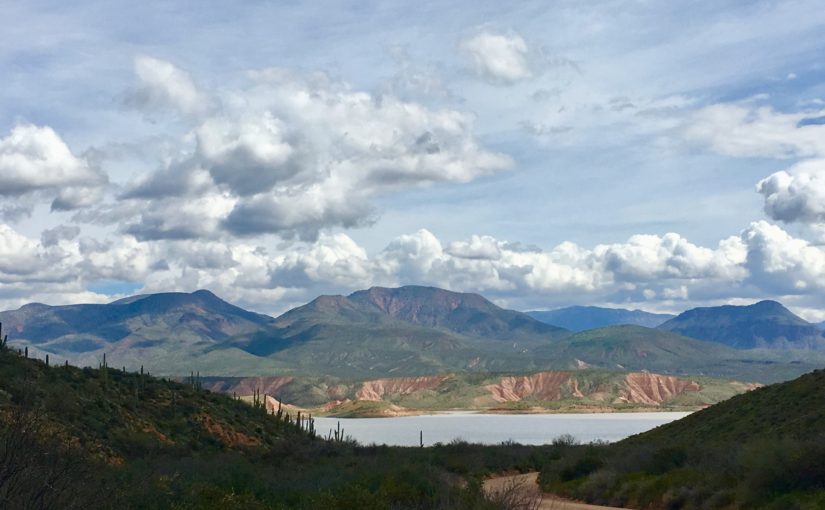
Tonto Basin National Forest is home to gorgeous Roosevelt Lake in the Sonoran Desert in central Arizona. It is in my top five-boondocking areas in the western United States because of the spectacular biodiversity, natural beauty, and collaborative management of the area that is respectful of the land and people. There is something for every type of recreational user.

Spring is Show Time in the Desert
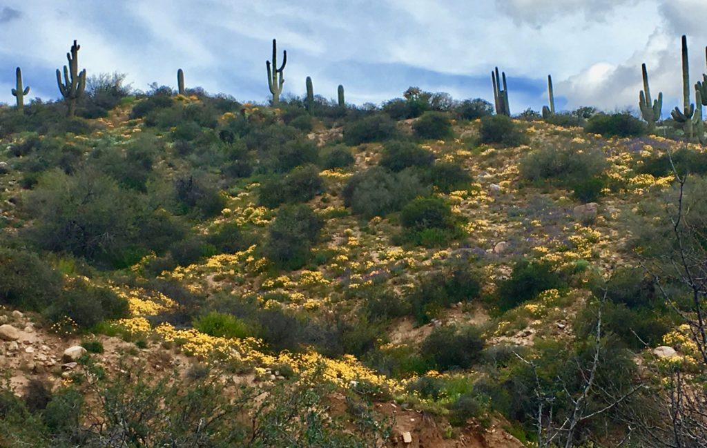
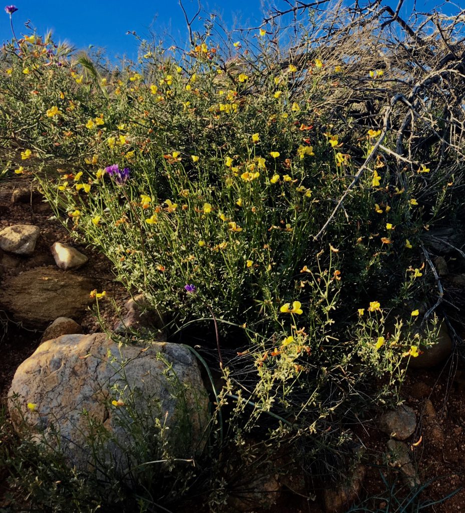
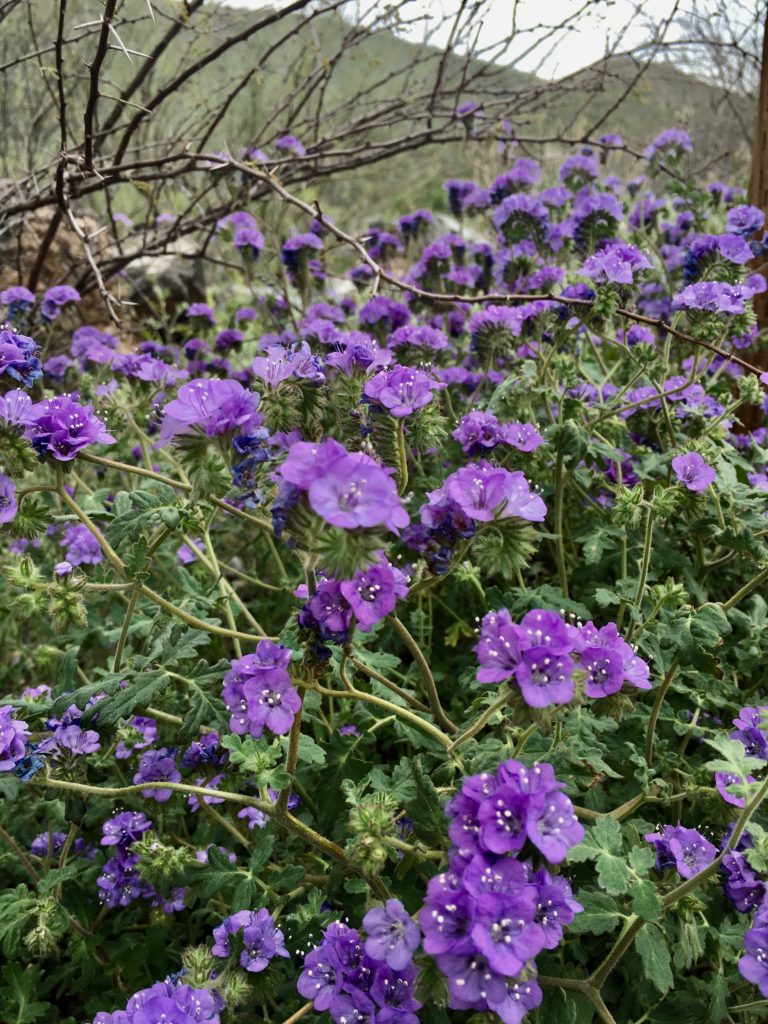
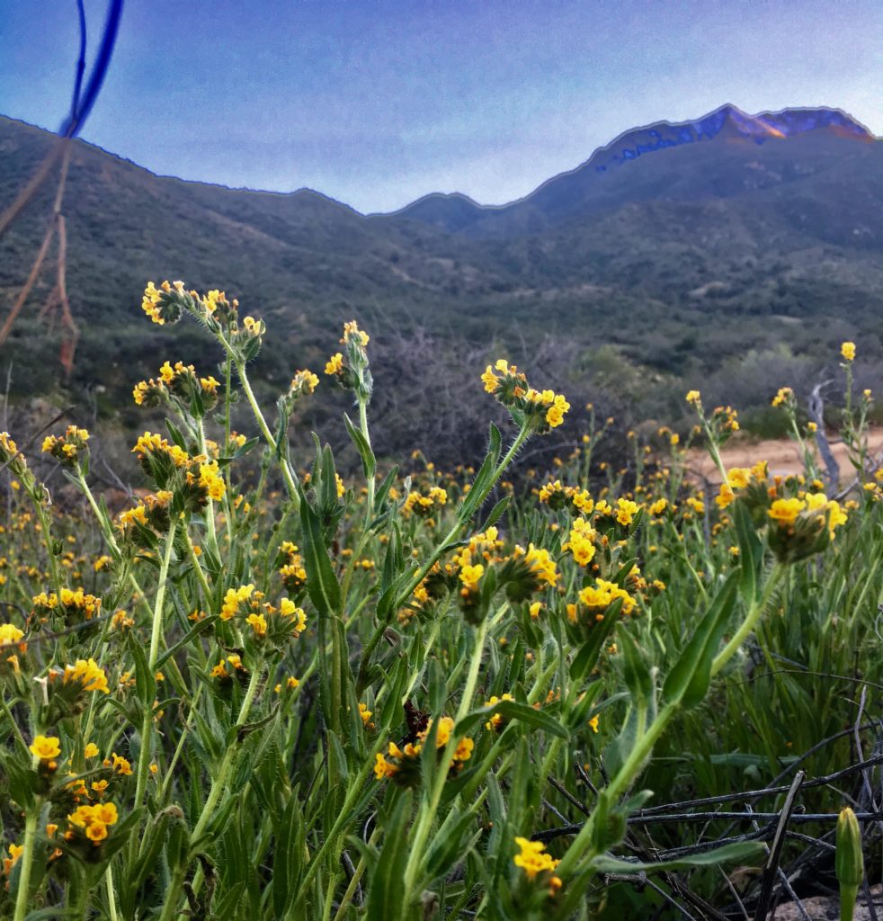
February, March, and April the Sonoran Desert springs to life. Hills and canyon walls are carpeted with bright yellow California poppies and soothing purple lupines. Saguaro cacti tower over cholla, prickly pear, agave, and jojoba. Higher up oak, juniper, pinion, and ponderosa create a lush landscape.
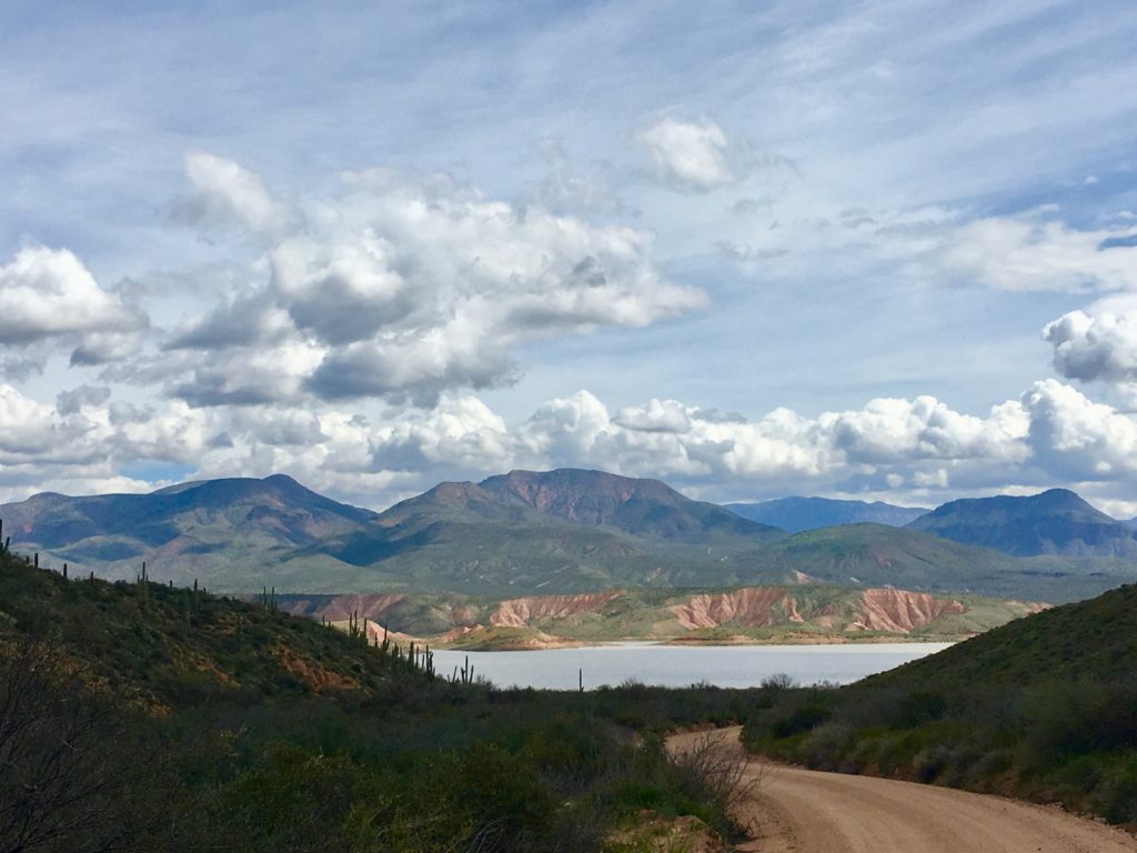
Tonto Basin encompasses 300 miles of big sky and dramatic mountain ranges surrounding a placid lake in wilderness areas where hiking and horseback are the only mode of transportation. Peaceful, primitive, and developed camping sites offer inspiring views and miles of hiking for every level.
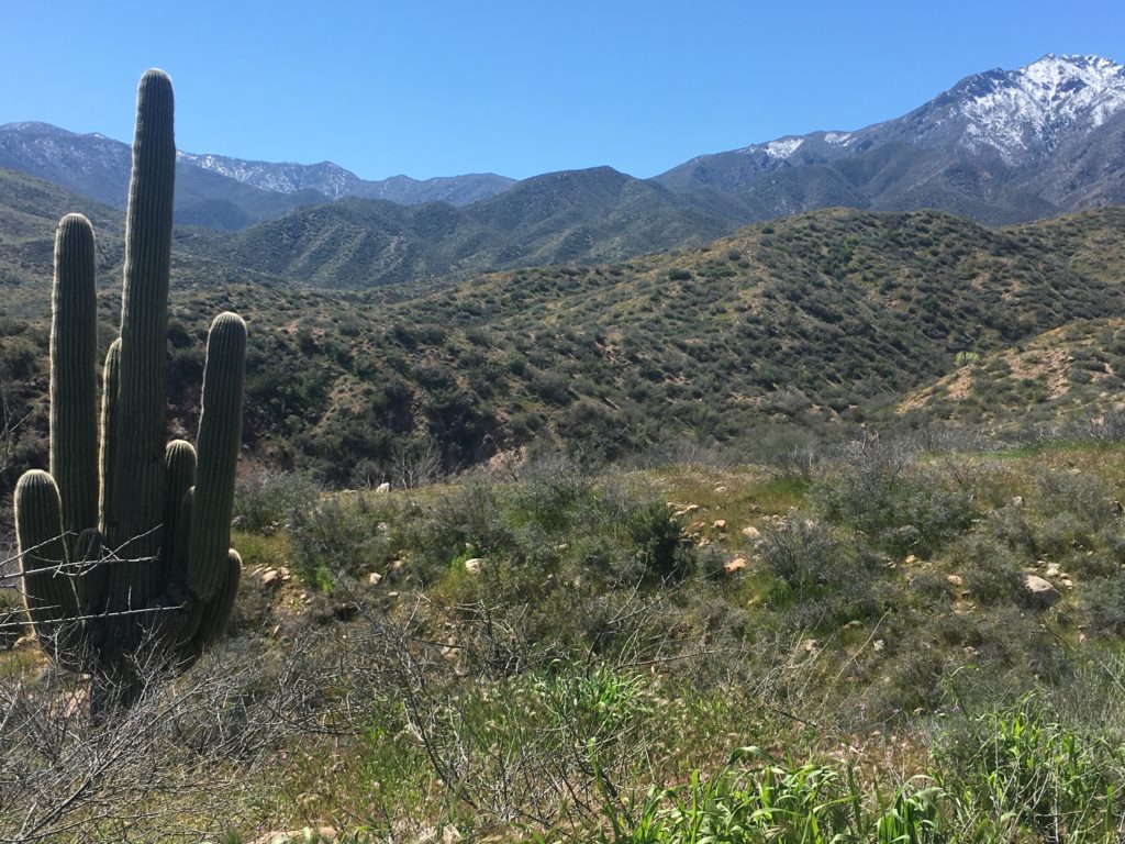
From Ancient Cliff Dwellings to Modern Dam Engineering

This area has been home to people since prehistoric hunter-gatherer nomads. Between 100-600 the Salado people built cliff dwellings in a more settled farming life. For unknown reasons they disappeared, leaving no evidence of human activity in the basin for 150 years.

Hohokam farmers settled in 750 growing to a peak in the 1100’s. Catastrophic flooding of the Salt River forced migration in the 1300’s-1400’s but the area remained Apache land until forced evacuation by the US army in the mid- to late-1800’s.
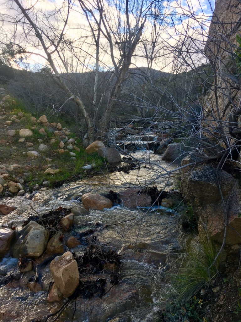
The native wisdom of a lifestyle integrated in nature seems to seep from the ground and swirl in the breeze. Perspective on your own blink of life clarifies in a land where many tribes and civilizations have flourished and vanished.

There is a deep, grounded peace that nurtures an expansive, open awareness and curiosity. Problems I wrestled myself into knots over like unpredictable weather suddenly unraveled, revealing ample possibilities and easy acceptance.
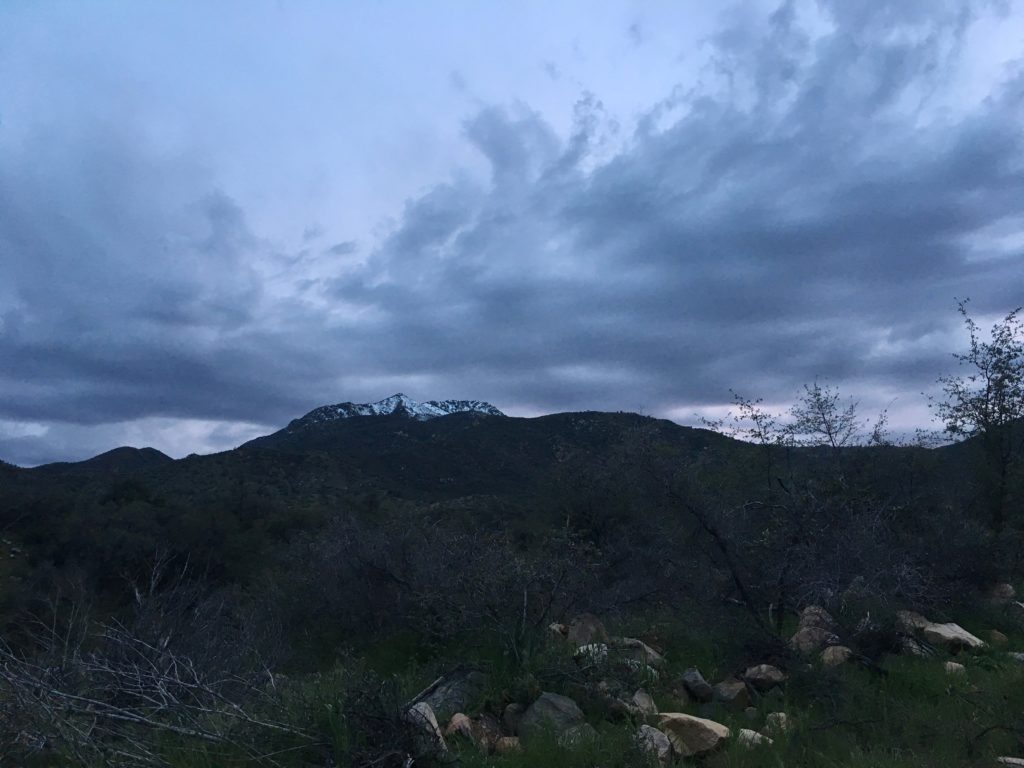
My Best Forest Service Management Experience

In true national forest service style most needs of outdoors adventurers have been accommodated while also protecting important natural resources. Tonto Basin Forest Service Management has balanced the needs of ATV and motorcycle enthusiasts with those who prefer quieter vehicles, less traffic, and more hiking adventures by limiting OHV trails to sections rather than all of the prime primitive camping and hiking land.

Camping Options for All

It is possible to get far enough from civilization’s noise to truly reset and restore the mind, body, and spirit. Or select a different area to suit up, strap on and conquer the canyons on motorbikes. Take an ATV scenic drive to vistas not accessible by highway vehicles. Roosevelt Lake has something for everyone.

Full information at Tonto Basin Forest Service Website

The forest service maintains a great website for information about all camping options, including dispersed camping, a.k.a. boondocking.

Boondocking

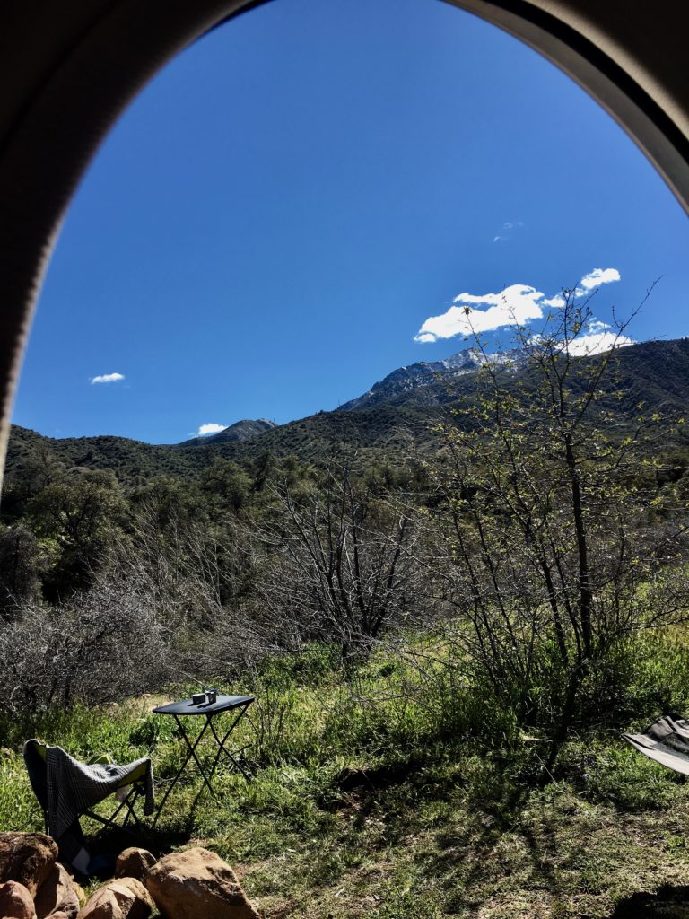
Boondockers like me who have small, off road rigs can primitive camp free along canyon and ridge forest and fire roads as well as at Salt River rafting take out points. Dispersed camping sites for vehicles are larger than most and strategically located to offer breath-taking distant vistas or shelter in trees by water.
Backpacking

Backpackers have two amazing wilderness units to choose from: Superstition and Four Peaks Wilderness.

Developed Camping

Tonto Basin’s nine campgrounds, each with multiple loops, are still operated by the forest service and the attention to detail and service, as well as maintenance and upkeep of facilities are spectacular.

Rather than jumble all together, there are separate areas for tent campers, smaller units like mine, and larger RV’s. Generator hours are limited. Two of the campgrounds have showers, Windy Hill and Cholula Bay. All have access to shared water spigots and flushing toilets. None have individual water and electric hook ups.
My Favorite Boondocking Site – So Far

After the first mile off the highway on dirt road, you’ll need a higher clearance vehicle with at least all-wheel drive, like a Subaru, due to water crossings, rutting, and uneven road.
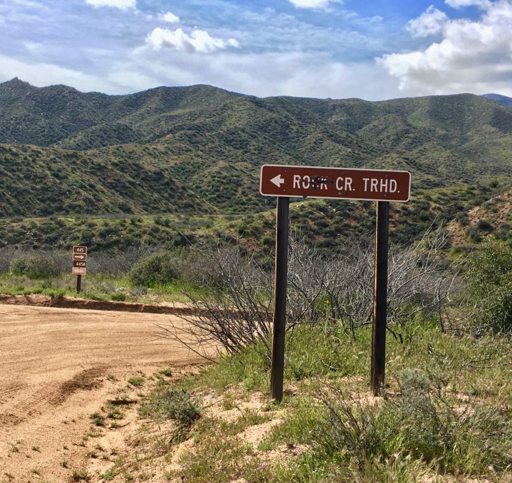
Travel north on state highway 188 from the Tonto Basin National Forest Ranger District Headquarters and Visitors Center. At Bermuda Flat Campground turn west on 3-Bar Road (Forest Road 445). Dispersed camping sites begin close to the intersection of HW 188 and FR 445 and are dotted along 14 miles of road that dead end in a bottomland of oak, birch, and cottonwood trees.
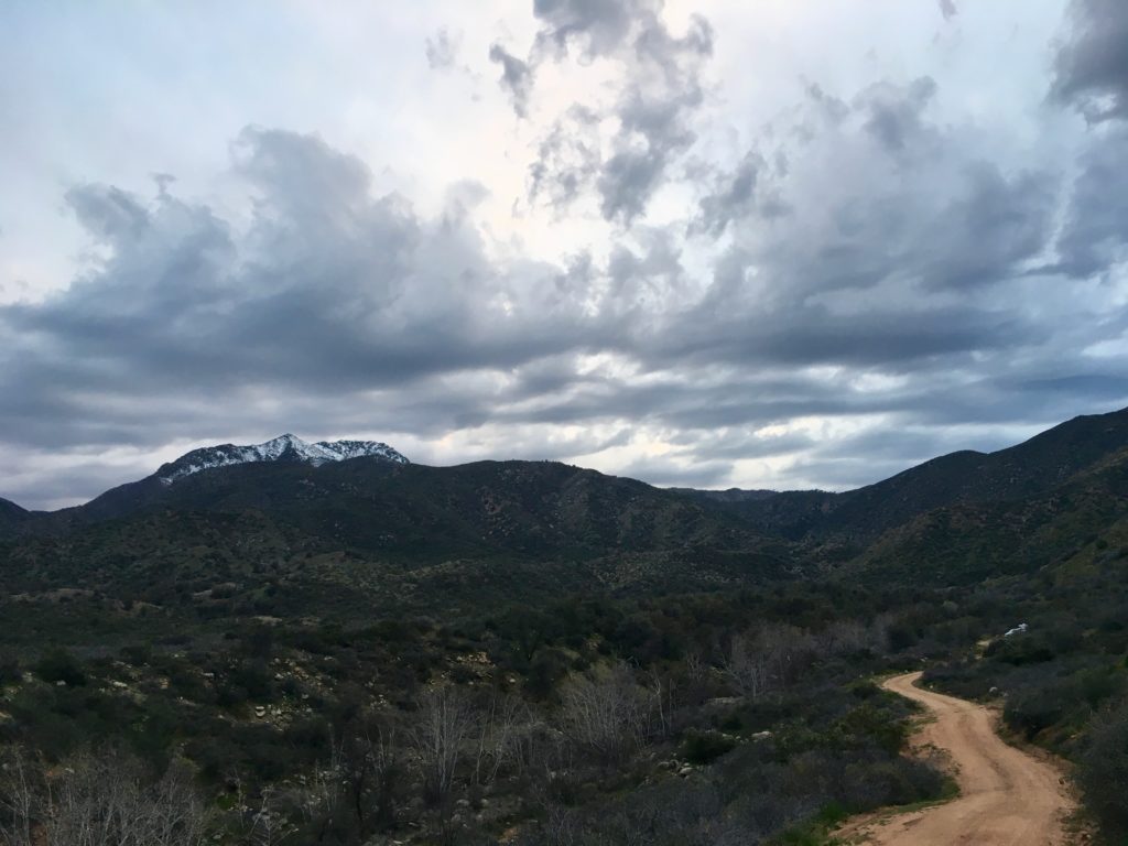
This is where Four Peaks Wilderness area begins with trailhead access to the Oak Flat and Lone Pine Trails. FR 445 provides limited motorized vehicle access to set up base camp. From here, miles of hiking- and horseback-only trails in protected wilderness provide for all skill levels.
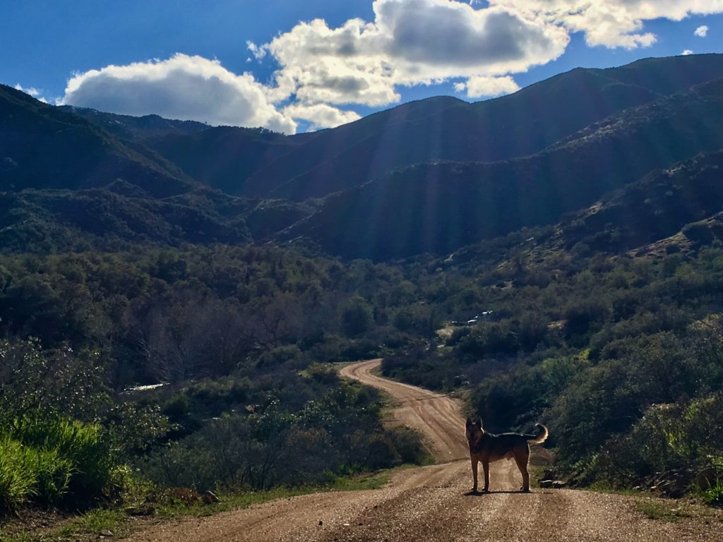
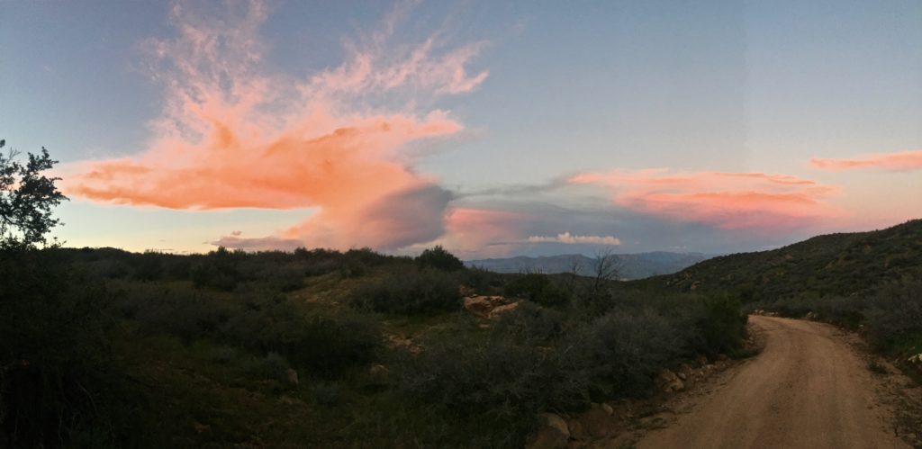
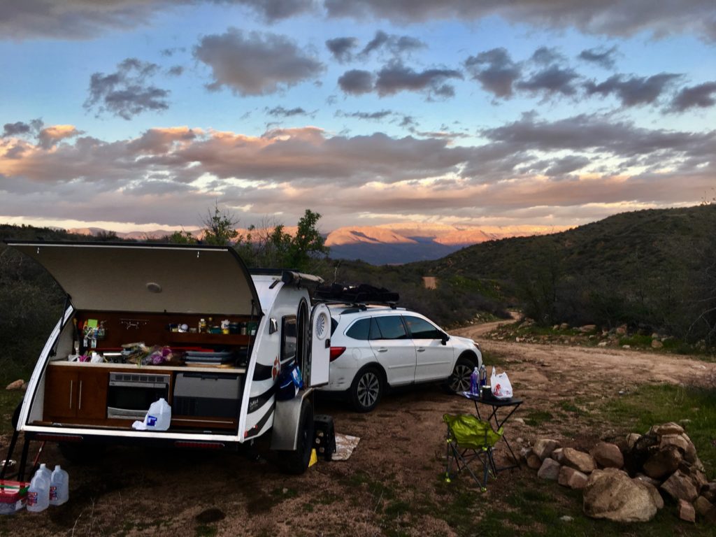
I set up camp on the ridge above Rock Creek because of the awesome vistas at top and easy access to the lower creek trail lined with trees and home to abundant wildlife. Bird viewing is supreme. Simple cross Rock Creek and go over another ridge to Oak Flat for wilderness trail access.
An Unexpected Surprise

Most surprising and appreciated was the cooperation and collaboration evident between so many local, county, state, and national governments.  The list is longer than most. While each maintains its own philosophy and approach there was not the sense of rigid territory, but rather many partnerships to insure the daily and long-term future of the Tonto Basin.
There is a pride of place and service permeating the work culture. Employees tend to be long-term veterans, passionate, knowledgeable, and accessible. Volunteers are ample and evident. Every day I met someone working in the wilderness that shared valuable information unique to the area.
I’ve never had this experience in my boondocking adventures and it was rare in my professional work with nonprofit organizations.  Perhaps it is also tied to the energy of this area I experienced that promotes a foundation of grounded peace and open awareness.

You Get What You Pay For

It’s also about the bottom line goal: public tax dollars vs. private profit. Tonto Basin is the largest campground operated by the federal, publically funded national forest service instead of contracted, corporate-owned concessionaires. The difference is quite apparent.

The federally funded forest service is driven by service to the public and protection of natural resources by employees of the public. This is a very different mission than profit for a private corporation.

Fees and Passes
Remember, Fourth Grade, Senior, and National Park and Forest Service “Access” pass holders have free admission to all parks and national forests and only pay half of Day Fees and Camping Fees. The Access pass is $80/year.

Full price for Roosevelt Lake Day Pass is $12 or $18 with watercraft. Camping ranges from $12 to $20 nightly.
Services

The Marina grocery store has very limited groceries and water with an adjacent bar. There is one small restaurant with gas closer to Roosevelt. Cell service is very limited.
The BEST FREE Winter Beach Camping

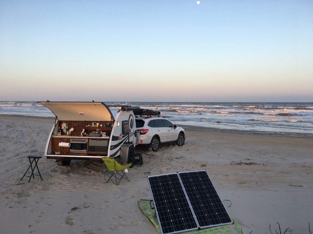
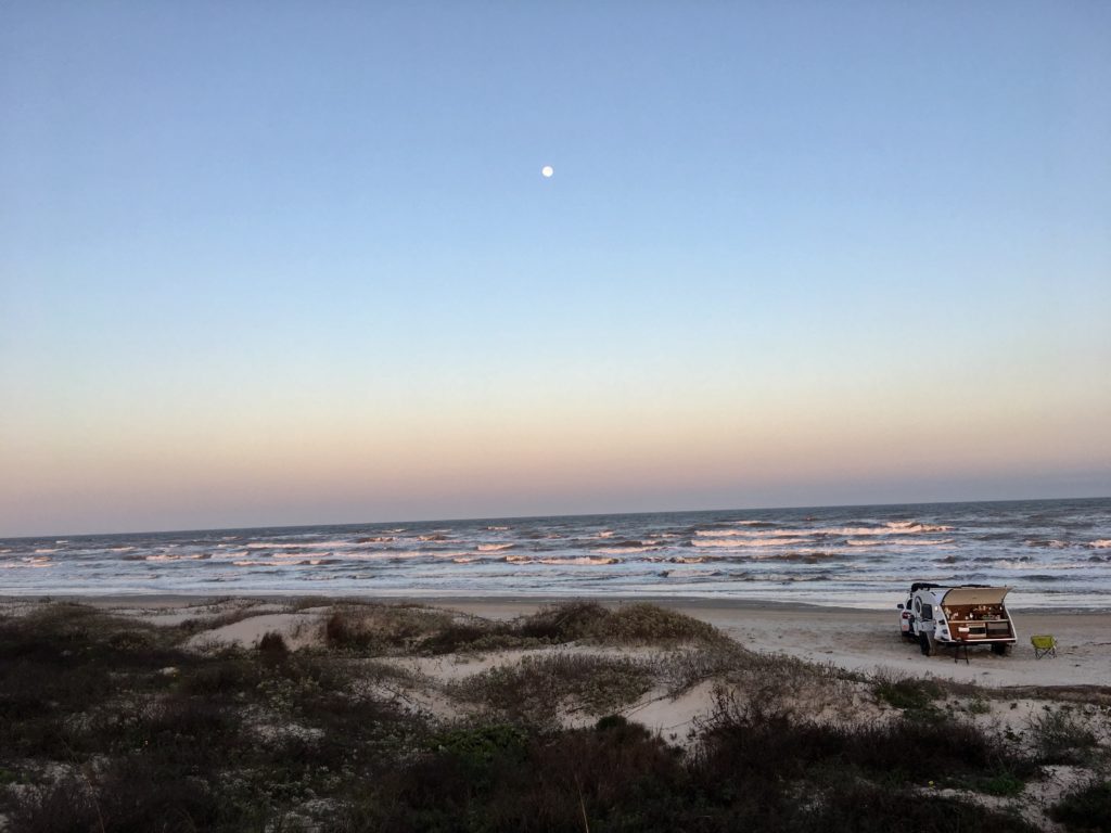
Solitude, warm nights, sea breezes, and a full moon in dark night skies create the backdrop for a Valentine’s Day beach getaway. In my opinion the best free winter beach camping in the country is at South Beach in Padre Island’s National Seashore.

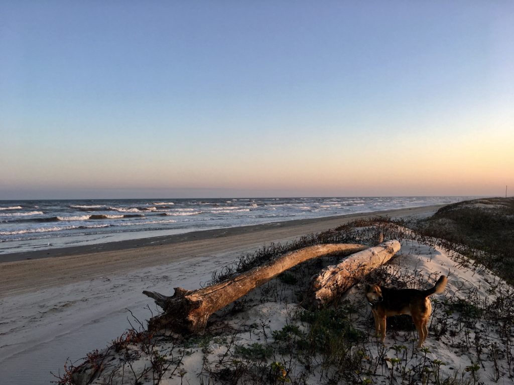
Sweeping natural vistas, gorgeous nightscapes, and isolation create the best free winter beach camping at South Beach, Padre Island National Seashore, Texas.

 “Bigger in Texas” Padre Island National Seashoreis the world’s longest stretch of undeveloped barrier island. The seashore creates the first break, or barrier, before the sea winds and water slam into the mainland.

Rugged, remote, and prolific ocean wilderness

Coastline, dunes, prairies, and wind tidal flats are home to 380 bird species on 70 undeveloped miles of the preserve. You’ll see far more birds than people at this National Park.

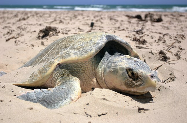
All five species of Gulf sea turtles can be found on the island and surrounding waters. The Division of Sea Turtle Science and Recoveryworks to monitor and protect the turtles and is the only division of its kind in the National Park Service.

Texas is the only state in the U.S. where Kemp’s ridleys are native, with nesting records dating back to the 1940s. Kemp’s ridleys almost disappeared, but intensive conservation efforts increased populations in both Texas and Mexico.  (Photo courtesy National Parks Service)

The endangered Kemp’s ridley sea turtle  has safe nesting ground on these beaches and no effort is spared to save these turtles.

This is the setting for the best free winter beach camping in the US.

It Wasn’t Always So Beautiful

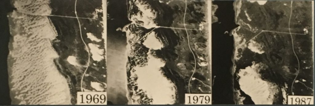
The photo on the left shows the extensive damage too dunes. Almost 20 years later the dunes returned to healthier dune ecosystem.

Four different nations have owned the expansive preserve on the Gulf of Mexico and none erected endless rows of condos. But the beaches and dunes had extensive damage from oil drilling and cattle grazing. Restoring the island to pre-European conditions became a goal in 1969. Two years later cattle were removed and Texaco paid for clean up of oil sites. 

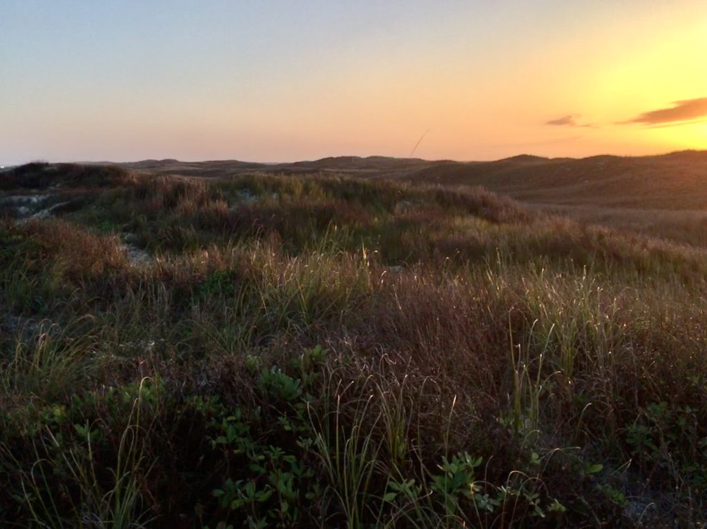
Healthy dunes are a hallmark of South Beach on Padre Island, Texas.

Today the mended island is a safe permanent and migratory home to Nature. And a perfect way to escape the city and hit the beach for free winter camping,

If you love isolation in Nature this is it. Almost.

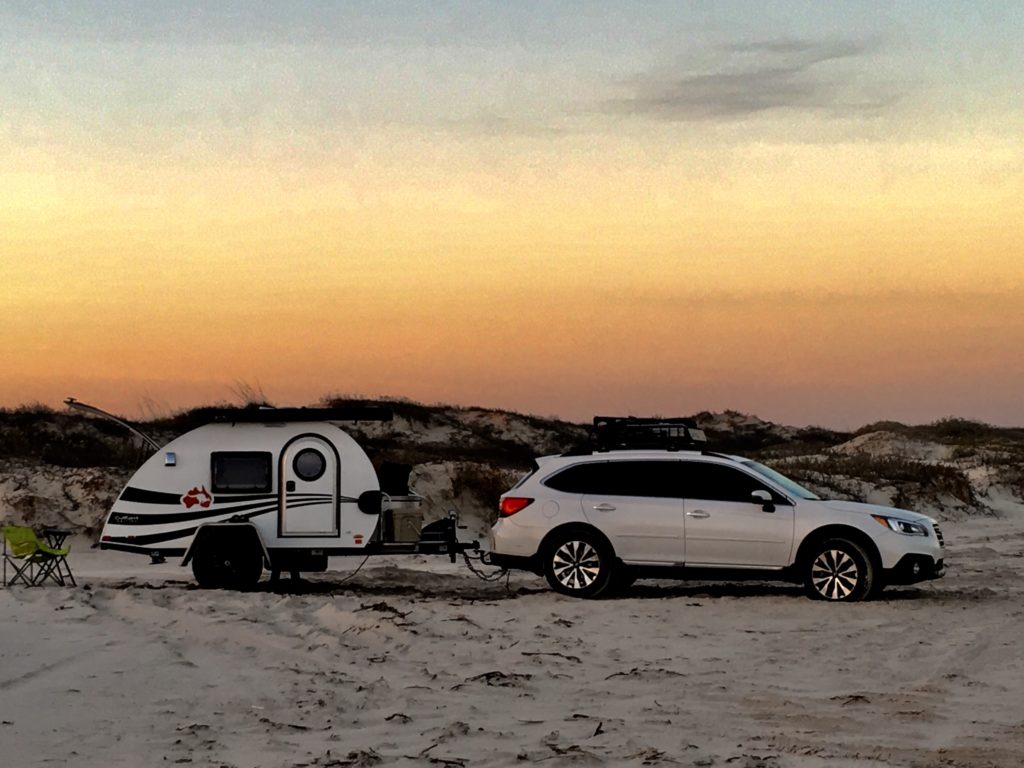
The beach is a public road! You can drive up and down much of the national preserve beaches and even primitive camp or boondock free on the beaches. 

My favorite area is South Beach because it is less crowded than North Beach located just outside the National Park’s preserve system and the sand is more packed. It also has fewer mosquitoes than Bird Island.

How to Get to The Best Place to Boondock on Padre Island

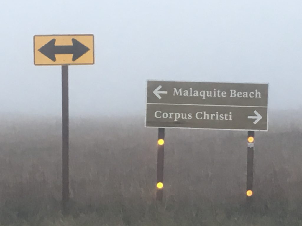
Take Hwy 358 southeast out of Corpus Christi. It becomes S. Padre Island Drive (SPID) and then Park Rd 22 and goes to park entrance directly. Entry fee is free with a National Parks Annual Pass or $10 per week. Be sure to register to camp at the entrance to South Beach at Padre Island National Seashore.

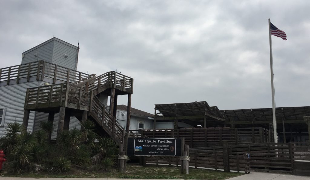
Malaquite Visitor Center in Padre Island National Seashore

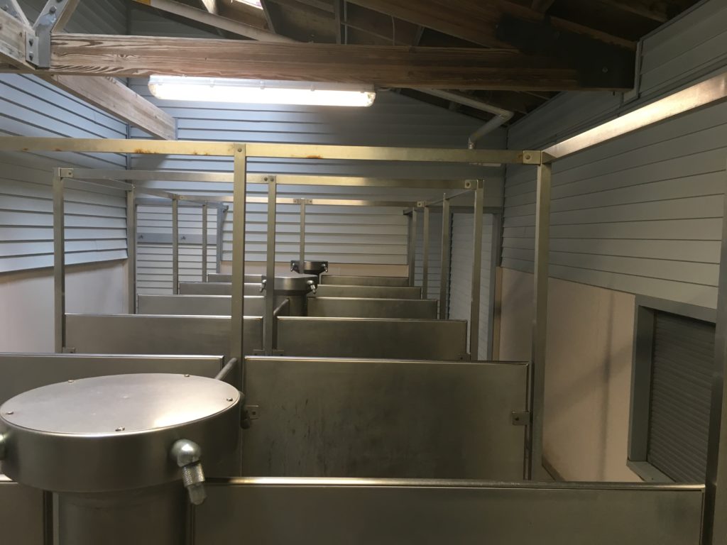
Stop at the Malaquite Visitor Center to get a copy of the tide tables and view exhibits of island history. Sign up for ranger led programs for birding and sea beaning.  The center also sells ice and has cold water free showers.

Showers at the Malaquite Visitors Center.

Access to the south beach road starts at the park paved road just past the Visitor Center. The first 5 miles of South Beach are accessible by two-wheel drive. Beyond the first 5 miles South Beach goes on another 60 4WD ONLY miles before ending at the jetties at the Port Mansfield channel.

Tips for South Beach Driving and Free Winter Camping

This free winter beach camping is primitive and remote so come prepared with plenty of water, food, shelter, and mosquito spray. There’s little to no internet past the Visitor’s Center so be sure to make one final check of weather and tides while there.

Set up camp a minimum of 100 feet from the waters up to the edge of the white sand dunes. No camping is allowed in the dunes. 

Just remember this is Texas public highway. Obey the standard laws – street legal, licensed, obey all traffic laws, speed zones, and remember to buckle up.

Because you’re gonna need to be strapped down to get to the perfect campsite. The sand road can disappear beneath surging waves forcing drivers closer to the soft, unpacked sand that can trap a car in seconds. Most of the road can disappear in high tide so plan accordingly or you’ll get trapped. Campers tend to set up in the 20-30’ section between the road and dunes.

Small inlets created by eroding high tides can provide some break from the wind, but are also sand traps. Remember to look for a site 100 feet from the water and off of the sand dunes. Look for the high tide water mark and set up at least 10-15 feet above that mark. Factor in the anticipated tide level each day listed in the tide table forecast. 

Be Prepared For The Unexpected

High temperatures in winter are usually between 50°-70°. The forecast was for low 50’s with sea fog. But the third night on my Valentine’s excursion a sudden, strong cold front barreled through. Gale winds blew and temperatures dropped quickly to the 30’s. 

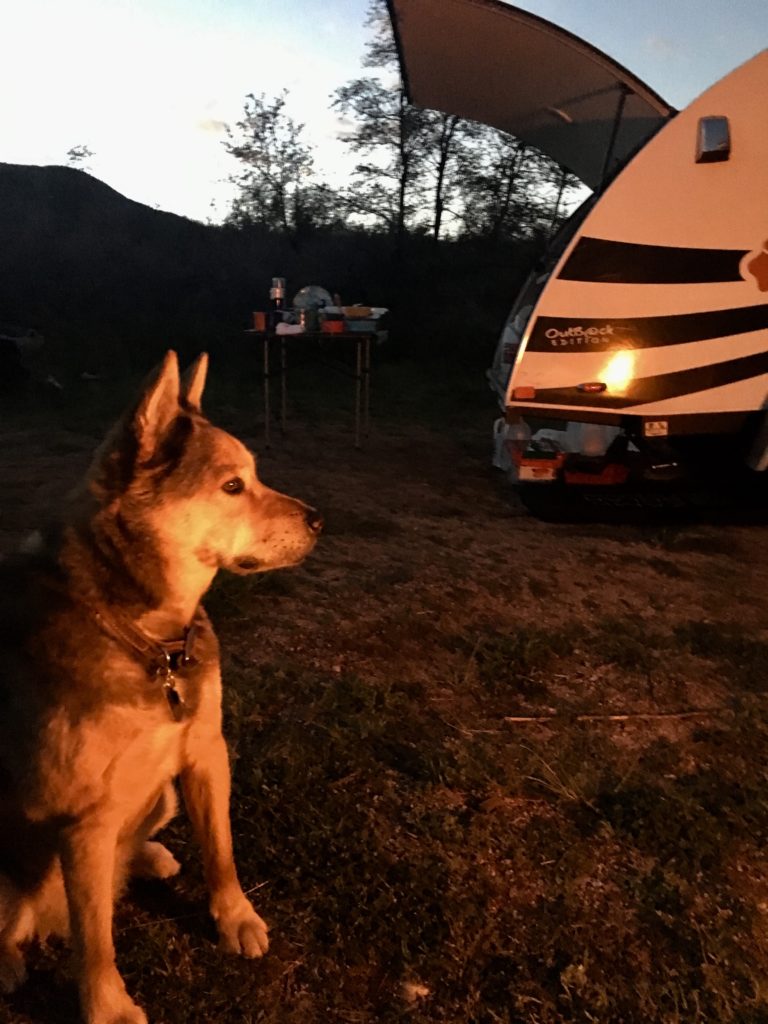
Rocky and I napped nervously through the irritable, howling night. Winds slammed logs in jams, created dunes around the rv, and forced sand into every possible crack and crevice. Even with the built-in stabilizer jacks deployed my rig swayed and lurched in high winds. 

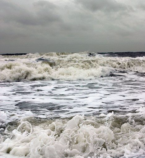
Morning awakened the rage of a winter storm that upended predicted tide levels. By mid-morning unrelenting brown waves thrashed each other in the race to shore. The ocean swallowed the beach road four hours before predicted high tide. My mouth dropped when waves began blowing into my cozy, sheltered cove at the edge of the dunes.

When the road is being covered by incoming waves it’s time to leave, no matter what tide tables and weather forecasts say.

The power of the howling wind and rising waves roared like a tornado. Instinct grabbed control from my analytical mind still pondering how tide tables and weather forecasts could be as wrong as maps and GPS. 

It didn’t take this plains gal more than two blinks to break camp, say a quick prayer, and drive nonstop through blowing wind, sand, and waves. Subaru’s all wheel drive combined with the offroad tires of my NuCamp RV made me howl with delight! Every time land slipped in surging water we quickly recovered forward progression.

Malaquite Visitor Center was crowded with campers surprised by the sudden winter storm that brought coastal flooding and wind advisories. I didn’t hang around to contemplate my options. Instinct was still in charge and it drove me far inland before I realized the escape had left a mark. I had no trailer lights and it was dark. 

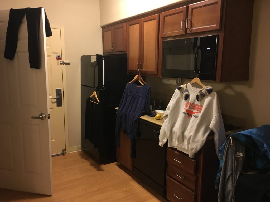
Deal is, the best winter beach camping adventure can end like this and there’s only one thing to do. Check into a hotel, take a long hot bath, catch up on laundry, run camp dishes through the dishwasher and binge watch all the Crocodile Dundee movies! 

Candlewood Suites are reasonably priced for a full kitchen, free laundry, and great wifi. What every nomad needs occasionally!

Special Thanks for Your Help!

The fantastic folks at Custom Tinting and Truck Accessoriesfound and replaced the trailer hitch fuse shorted by seawater. They even taught me how to change the fuses myself. Good thing since shorting fuses outside of the standard auto fuse box is becoming a thing with me. Thank you for the great work Johnny Salazar and team in Victoria, Texas!

Fortunately the teams at AAA Premier RV   and Subaru’s Extended Warranty programs will cover the unexpected hotel and food expenses while my vehicle was out of commission. These two programs pay for themselves every year that I’ve been on the road.

Go prepared. Stay flexible. Have fun!

Camping Around Arches and Canyonlands National Park

The heart and soul of the Colorado Plateau in southern Utah is expressed through canyons, arches, spires, and mesas carved by the Green and Colorado Rivers.
It’s almost impossible to wrap my mind around so much stunning beauty but it is as natural as breathing to allow all of that to become all of me. In my prayers and practices it also flows to each of you.
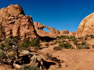
If you’d like to experience it yourself two national parks help millions access some of the area annually – Arches and Canyonlands. Fortunately most stay on the paved, scenic routes highlighting the parks.

Inside both parks there is no food, gas, or other amenities. Each has one national parks campground.
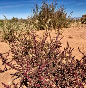
Most of the roads in this region are unpaved,  camps are primitive, and rivers are free-flowing. Native plants and animals still live in much of this remote, rugged, and wild countryside. Lots of folks call it “The American Wild West” but it’s been around much longer than we have and God willing will continue long after we’re gone.
Trying to balance recreational use with protection of these amazing resources requires effort by all of the major stakeholders – the Bureau of Land Management (BLM, often called public land), the National Park Servicecharitable associations, and YOU.

Please do your part to protect this ancient, wild land. Follow  “Leave No Trace” rules especially in designated and dispersed camping, hiking, biking, and OHV adventures.

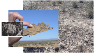
Photo courtesy Dr. Eoin Brodie at Lawrence Berkeley National Lab and Dr. Ferran Garcia Pichel at Arizona State University.

Here’s the deal. The biological soil crust is extremely fragile in the desert. The cyanobacteria and other materials in the soil are some of the oldest life forms, trapping and storing water, nutrients, and organic matter not otherwise available. It’s suited for harsh, arid conditions but vulnerable to compression.

A thin, fragile veneer of biological soil crushed by your footprints alone (compression) may require five to seven years to recover. Cyanobacterial growth can take 50 years and lichens/mosses even longer.
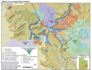
If you’re going off-road to visit the area, be ready to rough it and take care of your own needs. Pack in what you need. Pack out everything – including human waste where restrooms are not provided. Remember that five to seven year recovery time just for a footprint? Enough said.

Canyonlands National Park Campsite

Each national park has one developed campground with vault toilets, tables, and fire rings. Maximum length for RVs is 28 feet. There are no hook ups or dump stations in either park. Most are first come, first served except group campsites and a few individual sites. To reserve online go to http://www.recreation.gov or call 877-444-6777 (toll free) and +1 518-885-3639 (international).

Backcountry or Primitive Camps in the national parks require permits. These can be reserved four months in advance. Day use for 4×4 vehicles, motorcycles, and bikes can be reserved up to 24 hours in advance. Permits can be obtained online at http://www.go.nps.gov/canybackcountry

The BLM maintains 26 designated campgrounds with vault toilets, tables and fire rings. Drinking water is available at Lions Park (Hwy 191 and SR 128). The Windwhistle and Hatch Point campgrounds have drinking water on site from mid-April to end of September.

BLM On-line information about camping in Moab area.

BLM Moab Field Office, 82 E Dogwood Moab, UT. Phone is 435-259-2100.

Here’s some of my favorites and soon to be favorites. For a complete list of camping options check out the Discover Moab site.

BLM Camping Outside the National Parks

The Moab BLM Field Office manages over two million visitors annually on 1.8 million acres in the heart of the Colorado Plateau.

Reservations are not accepted except group camps. All are first come first served. All BLM developed campgrounds have vault toilets, picnic tables, and metal fire grills. Fees are $10-$20/night.

Weather can make unpaved roads impassable. Check with rangers for latest conditions.
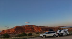
The Visitor Centers at Arches and Canyonlands have detailed maps for 4×4 routes, hiking and camping. Topo maps are also available.

 Developed Campsites 

SR 313 Camps Between Arches and Canyonlands Island In the Sky National Parks

Lone Mesa Group Camp
  • (5 spaces)
  • Gravel road and camp
Cowboy Camp at junction of Scenic Byway and Island in Sky
  • (7 spaces)
  • Dirt road and camp
Horsethief off Mineral Point Road by Deadhorse Mesa.
  • (56 spaces)
  • Dirt road and sandy, flat area for camp. This is where larger RV’s park.

HW 128 Camps Closest to Arches

The further you go the prettier and less congested the sites. Fisher Towers and Onion Creek sites are my favorites.

  • Granstaff 3 miles ( 16 spaces)
  • Drinks Canyon 6.2 miles (17 spaces)
  • Hal Canyon 6.6 miles (11 spaces)

    Fisher Towers Campground
  • Oak Grove 6.9 miles (7 spaces)
  • Upper Big Bend 8.1 miles (8 spaces)
  • Upper Onion Creek 21 miles then .7 miles SE on gravel road (2 spaces)
  • Fisher Towers 21.5  – dirt road (5 sites)
  • Lower Onion Creek – 21.5 miles then 1 mile NW on gravel road (4 spaces)

HW 257 South of Arches

  • Jaycee Park – 4.2 miles (7 spaces)
  • Williams Bottom – 6 miles (17 spaces)
  • Goldbar – 10.2 (5 spaces)

Lower Onion Creek Campground

BLM Dispersed Camping – No Services/Facilities

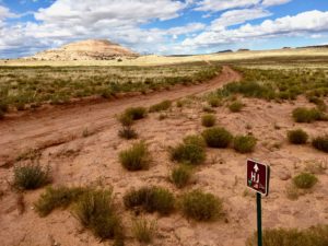
HJ OHV Road

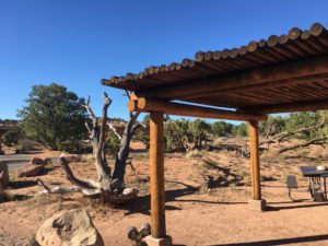
The BLM offers over 30 single or small, primitive camp sites with no services. These are first come-first served and free. Sites are marked with a brown post and a tent symbol.


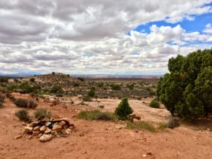
Dispersed campsite off SR 313

This is serious “Leave No Trace” camping. You must use portable toilets. All trash must be packed out – including human waste. No wood cutting, creating new camping areas or fire rings. Do not drive, hike, ride off road. Please.

There are 25 sites in the Mill Canyon-Cotter Road/Dubinky Road Area.


Primitive Camping – Island in the Sky Section of Canyonlands National Park

Accessible by 4×4 Taylor Canyon, White Rim, Potash, and Shafer Roads

4 primitive camps along Green River

Labyrinth – Where Taylor Canyon Road meets White Rim Road on the Green River in Upheaval Canyon

Hardscrabble – South of Hardscrabble Bottom

Potato Bottom – along the 14.8 mile Potato Bottom straight stretch of White Rim Road

Candlestick – Southern part of Holesman Spring Basin. South of Wilhite Trail on White Rim Road

4 primitive camps on southern loop of White Rim Road

Murphy Hogback – near Murphy Point trails
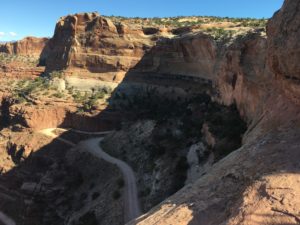
White Crack – in the Lower Basins at end of 1.4 mile road

Gooseberry – where trail meets road near Gooseberry Canyon

Airport – By Airport Tower in Lathrop Canyon

1 primitive camp near Visitors Center

Shafer Canyon Overlook by Visitors Center

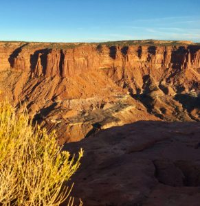
Shafer Near Visitors Center NE of where Potash Road meets Shafer Trail Road, Shafer Canyon. This gives access to the spectacular Goose Neck area of the Colorado River.


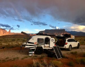
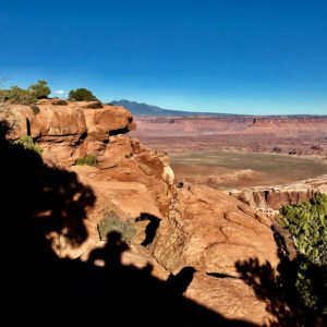
Can you find me and Rocky in this photo?

No matter where you may set up camp you’ll discover tons of ways to wear yourself slick having adventure fun. Remember to take some time to sit and stare for awhile.  You’ll be glad you did.