Scenic Byway 12
Unusual geologic formations, breathtaking vistas, and a rich history are showcased on The Highway of Legends in Southeastern Colorado.
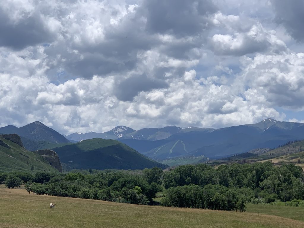
The 70-mile Scenic Byway 12 is easy to navigate and winds through some of the state’s most unique geological formations, peaceful landscapes, and idyllic small towns. Pastoral valley meadows are encircled by towering mountain ranges still capped with snow in late summer.
Scenic Highway 12 loops west of Trinidad then north through Stonewall, Cuchara, and La Veta before ending at Walsenburg. The Culebra, Sangre de Cristo, and Spanish Peaks Ranges in the Los Carlos Ranger District of the San Isabel National Forest provide a constant backdrop of majestic mountains.
Spanish Peaks Wilderness and SWA and Cuchara River Recreation Area and Pass provide access to camp, fish, and hunt.
The Spanish Peaks Wilderness
Twin Peaks
Prominent landmarks along the eastern front of the Southern Rockies are the twin peaks of Los Cumbres Espanolos (Spanish Peaks). Known by the Ute and Comanche American Indian tribes as Wahatoya (“the breasts of the earth”) the peaks are where the rain gods create life-sustaining clouds and rain.
Radial Dikes
Published on Sep 2,
Great dikes radiate out of the mountains resembling spokes of a wheel.These were created when molten rock intruding layers of sedimentary rock pressed up and out spreading through radial cracks like wheel spokes. Erosion later revealed the dikes.
Towering up to 200 feet high and 17 miles long, nearly 400 separate dikes have been identified by geologists.
Camping and Hiking
Spanish Peaks Wilderness was established in 2000, encompassing almost 20,000 acres of steep, rough backcountry with little water and few trails. That also means fewer people within the Wilderness boundaries and more vying for campsites.
There are four designated campgrounds and nine trails in Spanish Peak Wilderness Area. All of the camps took reservations and were packed even during the week in late July. Folks lined chairs next to each other fishing both Bear and Blue Lakes.
Close to Heaven and Down to Earth Country Lifestyle
While a true wilderness getaway in public land may be difficult, a day trip through the scenic byway is worth it.
Most of the land in this area is privately owned and reflects rural lifestyle at its best. Small towns flow with music, art, and festivals creating a relaxed country lifestyle with family-friendly charm.
Large ranches with green, flower-filled meadows provide ample habitat for herds to graze creating an idyllic landscape and life where people are connected to each other, the land, and Nature’s cycles.

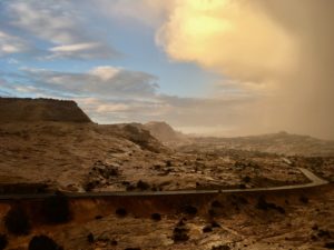
 This All American Road has 11 amazing national or state forests, parks, monuments, and recreation areas. You won’t want to miss any! Each is a destination in its own right, so give yourself ample time.
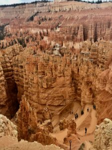 Spanning from
  time in a land that has shaped resilient, tenacious people. The range spans
 Vistas spanning hundreds of miles and eons of time offer a rare silence broken occasionally by the faint drone of airplanes. Sunrise and sunset delight the senses while expansive
  Scenic Byway 12 has two entry points.
 All American status
 A single lifetime is not nearly enough.
 Northern Wyoming and Southern Montana with hundreds of alpine lakes, steep headwalls, horns, cirque, and hanging valleys.
 Absaroka Range with steep slopes and stunning shapes amid long valleys.
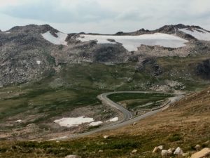 Combined these ranges create one of America’s most stunning visual masterpieces with infinite breathtaking vistas.
 you have any breath left after driving the thrilling twists and turns with steep drop offs on Chief Joseph Scenic Drive and the Beartooth Pass!
 is a top ranked engineering marvel and builder’s art.
 service roads, trails, campgrounds and boondocking sites.
 Be sure to take the
  While there, step back in time and experience how firefighters used the lookouts to fight fires in earlier days. Tools, maps, charts,
  and displays share the historical fire stories of these mountains. National Fire Service volunteers teach visitors about everything from fires to the oceans that once covered the region.
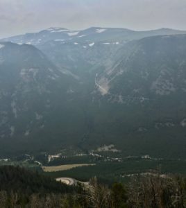 You can sure see the smoke in my story photos. I hoped to hold off on this blog until I could get clear photos of Beartooth Pass but I’ve never been to Montana when the skies were clear.
 I’ve learned that folks in the West talk about five seasons, the four we all know and Fire Season. Last year was a brutal record breaking fire season in Montana. So far in 2018 over 55,000 acres have burned in Montana and half of the counties are under air quality alerts.
 Experiencing the clear, big skies of Montana is still on my list. I’ve barely scratched the surface! Friends suggest rainy season in April and May. Winter is good but it’s a bit chilly with no heater. Rocky is a nice little heater but not that good!