The check engine light popping on in my 2017 Subaru when I’m two hours outback and off grid triggers looping over-analysis in a gal like me. Best I could tell the main  impact seemed to be loss of Eyesight system that’s the “culmination of everything Subaru engineers know about safety” according to their website. Engine restart would clear the check engine light sometimes but not the comprehensive electrical glitches.
Bottom line she was drivable so I didn’t need a tow. For now. Good thing since there’s no cell service for hours and very few people on the road to camp.
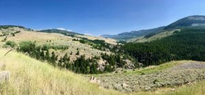
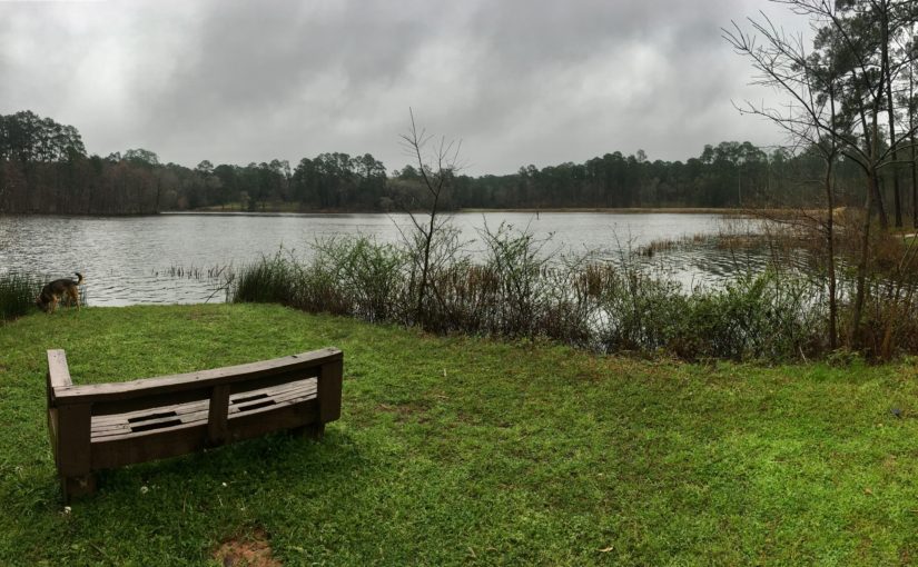
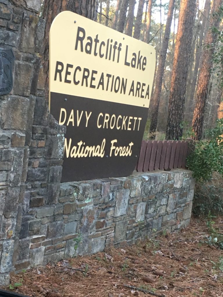
 I arrived late in the day to the remote, mountaintop Upper Medicine Lodge Lake campsite next to Cloud Peak Wilderness in Wyoming’s Bighorn National Forest. I had camped the night before near Medicine Wheel Archeology Site even though the lake camp was still calling me.
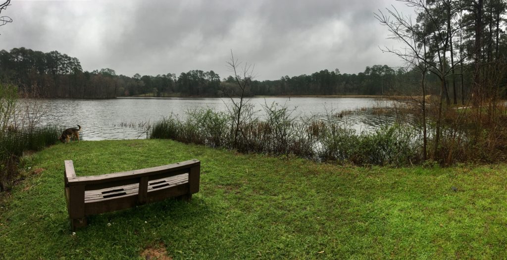
Two hot exhausting August weeks in downtown Minneapolis had depleted every energy reserve. I refilled a good bit during two weeks at the rejuvenating waters in  Black Hills National Forest camp. I needed another area steeped in healing traditions and Medicine Lodge Lake beckoned me like a lighthouse.
That I follow these gut tugs is not so much a miracle as it is decades of training on the personal front lines of my 30’s and early 40’s and then 14 years of traveling solo.
That I was heading to a campground rather than my normal boondocking alone far beyond civilization was the first real miracle. The second was the available campsite directly on the sparkling alpine lake beside the national forest. The third miracle was Corky.
 Retired from a life of rodeos and barebacking Corky is a true cowboy with powerful, rugged features, good manners, and a helping hand if needed. He popped out of nowhere to assist my trailer backing before building a warm fire while I set up camp.
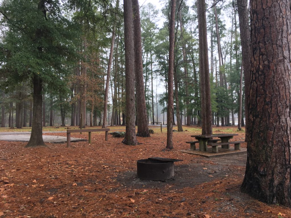
 I don’t do campfires in the west because of fire hazards and I’m lazy. I know the tending required to have a safe fire and I’ll not risk a forest fire for food and warmth unless absolutely necessary. I have a propane stove to cook and a dog for cold toes.
This hypervigilance is a leftover control issue from navigating my late husband’s eight-year illness while raising four young kids. I believed being prepared for chronic crisis created a structure that would somehow calm the chaos and our normal wouldn’t seem so unbearable, especially to the kids. That was then.
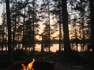
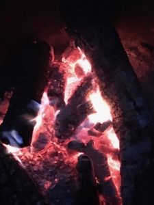
Now the crackling flames danced in front of a backdrop of the blood orange sun sinking into the clear alpine lake by the campfire. I melted into this new level of heaven wondering if it was a dream that a man met my road weary self, built me a fire, reassured me about that pesky check engine business, and bid me goodnight without expecting anything in return? God bless gentlemen cowboys like Corky.
 Medicine Lodge Lake Wyoming draws in folks steeped in generational family traditions who love life deep in the woods far beyond today’s hectic life. Doesn’t matter if you’re there for the end of the earth or the beginning of a brand new day people take care of each other and are decent stewards of Nature. Carnivores and vegans, Tea Party and moderates, evangelicals and atheists share a simple outdoor life.
 You have to want it to get it. Take HW 14 east out of Shell, Wyoming for 17 miles through the Scenic Big Horn Highway then exit forest road 17 and go south 24.5 miles. Plan on two hours to drive that short 24 mile distance through some of the country’s most inspiring offroad vistas. There’s no cell or tow service.
Corky followed me in his truck the two hours out of camp across the national forest and knarly private roads to paved road and cell service to be sure I was safe to travel the remaining distance to the Subaru dealer in Billings, Montana. He also called to make sure I arrived in Billings ok.
 It always baffled me that herds calmly move to a cowboy’s request. Not anymore. I’m far too independent for herds but being looked after by somebody who takes his job seriously in the sometimes perilous outback is a gift I gratefully accepted. So did Rocky.
I’ll spare the details once I hit paved road mid-August but the bad news is it’s almost a month later with two visits to the shop and still no fix. The dealer says the audio and electronic issues are resolved but they’re still waiting on a starter from Subaru. A few days ago they broke the news to me that ETA is October 8.
I’m NOT kidding.
The good news is my Subaru is still under warranty and Rimrock Subaru gave me a loaner Outback. The bad news is the loaner doesn’t have a trailer hitch so I can’t pull my home. Homeless is not on my bucket list.
 My extensive travel does not have nor require a big budget. Paid lodging is a rare treat strictly reserved for a hot soak in a deep tub, laundry, and supplies. The anxiety over these unexpected expenses has been eased by the miracle of the folks crossing my path like family friend AJ and her Indian Gulch Ranch. It reminds me that everything works out better than I could imagine if I just stay in the flow.
 Kathy at Madison Management’s true gift is property and client matchmaking. I asked for the cabin I found on her website close to the Madison River because it was available on short notice. She suggested that I might prefer a softer, gentler version in the same price range. Boy was she right about that soft, feminine touch less than five minutes from two fantastic bridges for prime wild trout fishing on the Madison.
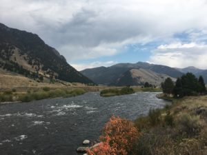
The Madison River is a fly fishers meca three times bigger than any gold medal river I’ve fished. It’s “A River Runs Through It” wild fish big river
country and in late summer the pressured mojo of a weary world class fly fishing river is obvious.
 The fish that survive are smart and hiding from the heat and anglers. You’ve got to cast your fly in the mouth of a yawning fish to catch it this time of year.
Montana Angler’s guide Rob McGillicuddy helped me land wild rainbows, browns, and whites.  Watching Rob work the boat into just the right spot then hold it in the current so my line would sweep perfectly through a drift was impressive. Nothing to write home about in size but plenty of action with the small, less experienced fish.
I can do technical water, but frankly heavily fished mojo drains me slick like Wal-Mart on a Sunday. I  yearned for the smaller streams and relaxed ease of outback fly fishing where larger fish are more likely to play.
Picnic packed we headed beyond the highway and cell service. The steady flow of divine guidance led us through a spectacular day in stunning outback Montana. Following my gut is always a good call but following my angels is spectacular. They send just the right people at just the right time with just the right information.
 Rocky and I picnicked at a boondock site an hour off HW 287 on FR 202 of the West Fork of the Madison. We spied the shallow, swift water sweeping beside the small pine meadow in a valley just when hunger couldn’t be denied any longer.
Hours later I wondered once again why I was still sitting in my chair staring at the current. “Just wait for it” my angel replied.
When he arrived the young man had the manners to park his truck on the road and hike into our temporary camp. An earlier group had driven right into our picnic without heed. Needless to say Rocky’s leash was still off and my 9mm clip checked.
But this young man stopped a good 10 feet from us after a slow approach, body language relaxed, open, and patient. I added common sense to his attributes.
I leaned into that sweet slow storytelling manner outback folks share and listened to his tale unfold. He’s a bowhunter and had spent the night before in a meadow listening to a massive elk herd bugle. He searched all night  to scout a campsite nearby and had come off the mountain at dawn with big plans to celebrate his first anniversary with his new bride and their young son.
He offered his wife a fancy hotel to celebrate marriage OR camping in the primitive boondock site just over the ridge from the elk-filled meadow. His beautiful bride is also a bow hunter and she excitedly picked the camping option only to arrive at the site to find me already there.
“So you’re why I’ve been waiting,” I noted packing my gear to welcome them in. “Thanks for saving the spot for us,” he laughed noting my fishing gear in my cargo and wondering if I’d had any luck. I keep a small “miracle notebook” handy for times like this when a local begins sharing their secret fishing spots with me.
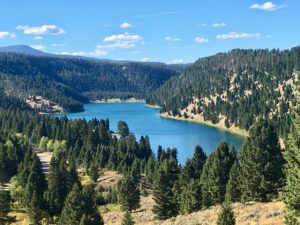 An hour or so on down the road a cyclist was stopped and I slowed to confirm he and his retro 1970’s Harley were ok. A bit later I moved on with even more secret fishing spots in the gorgeous “Chain of Lakes” and smaller West Fork scribbled in my notebook. Unfortunately there was not nearly enough daylight to keep going especially when I was nearing the end of my week near Ennis, Montana and my car still wasn’t ready.
What now?
 Madison Management Kathy stepped in once again and knocked it out of the park with a cabin very much like the boondocking sites I love the most. Behind a locked cattle gate on a wild pristine stretch of the Madison River with a side stream enveloping a small
 island the cabin and the imprints of lives well lived raised the hair on my body in a most pleasing way.
I was free to roam without my guard up although Sgt. Rocky was in perpetual guard mode because of the abundant wildlife. Eagle, osprey, cranes, owl, deer, antelope, moose seemed as common as the chipmunks.
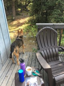 The first two days Rocky guarded every exit from the house sticking right by my side even when I walked to the car. He’s had enough outback experience to know we stick together with this much wildlife around.
I’ve learned to listen to Rocky whether it’s on a backwoods trail or going on a date. His radar for danger is impeccable so I never second guess or overrule his opinion, although this time I gently coaxed his rigid boundaries to relax.
 By the third day we had explored every inch of land and water in this enchanted stretch. In fact, the week we were there we never left the property, never unlocked the gate, and never once had a desire for any part of life beyond the gate.
 Montana believes water is public so there’s none of that blocked access to private waters nonsense you find in other states. Every couple of days a savvy fly fisher would wade up the back side of the island where the slower stream flows in front of the cabin and I could get a fishing report to compare to my own.
 I also had an extraordinary visit with the woman who grew up on this stretch and raised her kids there too. Kindred spirits we both know how priceless a small stretch of outback fresh, cold water can be for generations of family and friends. I cherish that visit and her amazing rosemary pear preserves.
I wonder at the tales I’ve heard of days gone by on the crystal creeks and highland lakes stretching from Wyoming over the breathtaking Beartooth Pass to the shores of the Mighty Madison in Montana.
 I marvel at what we’ve had access to since we left Minneapolis in August. I sense watery images of what awaits us in the secret places we’ve yet to explore.
Glacier National Park is tugging for me to come play but it is past time to have a chat with the folks at Subaru in Billings about the 22 business days waiting on a simple starter and news of another 16 business days to go before the part arrives.
 My heart and my budget need my rig back. I’m questioning the wisdom of Subaru playing a leading role in my outback, offgrid life. Looks good in the commercials but at just over 30,000 miles my reliability and service experience is taking a huge hit by sitting in the shop for a month. That breaks a bottom line survival rule for a solo, outback, offgrid nomad and her dog and smells an awful lot like a lemon.





 impact seemed to be loss of Eyesight system that’s the “
 I arrived late in the day to the remote, mountaintop Upper
 Retired from a life of rodeos and barebacking Corky is a true cowboy with powerful, rugged features, good manners, and a helping hand if needed. He popped out of nowhere to assist my trailer backing before building a warm fire while I set up camp.
 I don’t do campfires in the west because of fire hazards and I’m lazy. I know the tending required to have a safe fire and I’ll not risk a forest fire for food and warmth unless absolutely necessary. I have a propane stove to cook and a dog for cold toes.

 You have to want it to get it. Take HW 14 east out of Shell, Wyoming for 17 miles through the Scenic Big Horn Highway then exit forest road 17 and go south 24.5 miles. Plan on two hours to drive that short 24 mile distance through some of the country’s most inspiring offroad vistas. There’s no cell or tow service.
 It always baffled me that herds calmly move to a cowboy’s request. Not anymore. I’m far too independent for herds but being looked after by somebody who takes his job seriously in the sometimes perilous outback is a gift I gratefully accepted. So did Rocky.
 My extensive travel does not have nor require a big budget. Paid lodging is a rare treat strictly reserved for a hot soak in a deep tub, laundry, and supplies. The anxiety over these unexpected expenses has been eased by the miracle of the folks crossing my path like family friend AJ and her Indian Gulch Ranch. It reminds me that everything works out better than I could imagine if I just stay in the flow.
 Kathy at

 Watching Rob work the boat into just the right spot then hold it in the current so my line would sweep perfectly through a drift was impressive. Nothing to write home about in size but plenty of action with the small, less experienced fish.
 yearned for the smaller streams and relaxed ease of outback fly fishing where larger fish are more likely to play.
 Rocky and I picnicked at a boondock site an hour off HW 287 on FR 202 of the West Fork of the Madison. We spied the shallow, swift water sweeping beside the small pine meadow in a valley just when hunger couldn’t be denied any longer.
 to scout a campsite nearby and had come off the mountain at dawn with big plans to celebrate his first anniversary with his new bride and their young son.
 An hour or so on down the road a cyclist was stopped and I slowed to confirm he and his retro 1970’s Harley were ok. A bit later I moved on with even more secret fishing spots in the gorgeous “Chain of Lakes” and smaller West Fork scribbled in my notebook. Unfortunately there was not nearly enough daylight to keep going especially when I was nearing the end of my week near Ennis, Montana and my car still wasn’t ready.
 Madison Management Kathy stepped in once again and knocked it out of the park with a cabin very much like the boondocking sites I love the most. Behind a locked cattle gate on a wild pristine stretch of the Madison River with a side stream enveloping a small
 island the cabin and the imprints of lives well lived raised the hair on my body in a most pleasing way.
 The first two days Rocky guarded every exit from the house sticking right by my side even when I walked to the car. He’s had enough outback experience to know we stick together with this much wildlife around.
 By the third day we had explored every inch of land and water in this enchanted stretch. In fact, the week we were there we never left the property, never unlocked the gate, and never once had a desire for any part of life beyond the gate.
 Montana believes water is public so there’s none of that blocked access to private waters nonsense you find in other states. Every couple of days a savvy fly fisher would wade up the back side of the island where the slower stream flows in front of the cabin and I could get a fishing report to compare to my own.
 I also had an extraordinary visit with the woman who grew up on this stretch and raised her kids there too. Kindred spirits we both know how priceless a small stretch of outback fresh, cold water can be for generations of family and friends. I cherish that visit and her amazing rosemary pear preserves.
 I marvel at what we’ve had access to since we left Minneapolis in August. I sense watery images of what awaits us in the secret places we’ve yet to explore.
 My heart and my budget need my rig back. I’m questioning the wisdom of Subaru playing a leading role in my outback, offgrid life. Looks good in the commercials but at just over 30,000 miles my reliability and service experience is taking a huge hit by sitting in the shop for a month. That breaks a bottom line survival rule for a solo, outback, offgrid nomad and her dog and smells an awful lot like a lemon.
 Northern Wyoming and Southern Montana with hundreds of alpine lakes, steep headwalls, horns, cirque, and hanging valleys.
 Absaroka Range with steep slopes and stunning shapes amid long valleys.
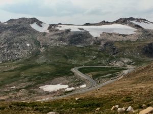 Combined these ranges create one of America’s most stunning visual masterpieces with infinite breathtaking vistas.
 you have any breath left after driving the thrilling twists and turns with steep drop offs on Chief Joseph Scenic Drive and the Beartooth Pass!
 service roads, trails, campgrounds and boondocking sites.
 Be sure to take the
  While there, step back in time and experience how firefighters used the lookouts to fight fires in earlier days. Tools, maps, charts,
  and displays share the historical fire stories of these mountains. National Fire Service volunteers teach visitors about everything from fires to the oceans that once covered the region.
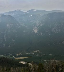 You can sure see the smoke in my story photos. I hoped to hold off on this blog until I could get clear photos of Beartooth Pass but I’ve never been to Montana when the skies were clear.
 I’ve learned that folks in the West talk about five seasons, the four we all know and Fire Season. Last year was a brutal record breaking fire season in Montana. So far in 2018 over 55,000 acres have burned in Montana and half of the counties are under air quality alerts.
 Experiencing the clear, big skies of Montana is still on my list. I’ve barely scratched the surface! Friends suggest rainy season in April and May. Winter is good but it’s a bit chilly with no heater. Rocky is a nice little heater but not that good!
 But on Sunday Oak Creek Canyon reminds me of ants at a summer picnic. Sedona tourism has tripled in the last decade with over two million annual visitors. On any given weekend thousands pack the roadway, parking lots overflow both sides of the highway, and bumper-to-bumper one-lane traffic inches through the gridlock. The highway flows into downtown Sedona and every artery is an organized bottleneck thanks to abundant roundabouts.
 Take HW 89A west from Sedona to mile marker 365. Turn right on Forest Rd 525 – Red Canyon Road. From entry to Palatki Ruins are many clearly marked pullouts. Some can accommodate numerous rigs while others are perfect for a small tent.
 Mongollon Rim with Secret, Bear, and Lost Mountains on the east and Black, Sugarloaf, and Casner Mountains on the north and west.
 Like all of Sedona it can get crowded and it’s worth venturing past the first spots. The area has many
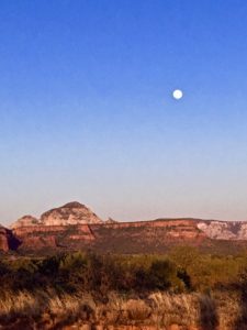 that seem close enough to touch.
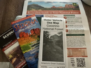

 National Forest campsites are larger than the
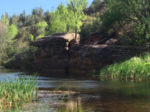
 It can accommodate small RV’s and tent campers on acres of open pasture and forested shade. Rates range from $20-$35/day. Camp Avalon is located at 91 Loy Lane in West Sedona off of 89A. Reservations available at
  The hiking trails of Sedona are some of the nations best so it’s worth the realities of camping in a heavy tourist area. The


 Home to abundant wildlife, wild grasses, hardwoods and evergreen junipers, the canyon also holds the memories and artifacts of 12,000 years of human habitats. A little over 200 years ago the native Southern Plains tribes were decimated and relocated to reservations in Oklahoma. Wild buffalo were slaughtered to make way for a few white barons and their herds of longhorn cattle.
 This is a great state park in winter, spring, and fall. (Summer heat and humidity can be a bit much.)
 vegetation for shade and privacy. Abundant wildlife gathers at the creek running along the cliffs at the back of the canyon.
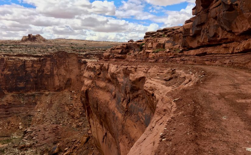
 Following trails that beckon is life at it’s best. Free wandering with no schedule or goals has served me well since childhood exploring creeks and prairies. I’ve been trained to watch and wait for the guidance but I’ll admit there’s is a new learning curve with the addition of the off-road teardrop camper. It’s keeping my guardian angels – and me – wide awake.
 Narrow, ridiculously steep grade, no safety rails and the most amazing, adrenaline-inducing experience calling my name! The Subaru and teardrop had torn up off roads for days and I was primed for the grand prize dive down The Canyon.
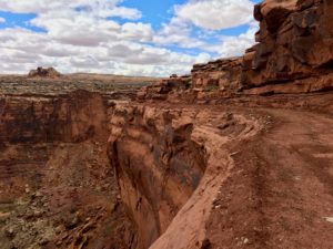 Perhaps a bit of recon was in order. Rapid, shallow breathing and heart-pounding adrenaline with knees bent, eyes straight ahead helped resist the abyss tractor beam pulling me over the edge on the switchback curves. Barely. There was just enough width for the car and RV. No margin for error, changing my mind or turning around. There might be a clearance and mud issue. But I was a hound dog on a scent. Ride The Canyon or bust!
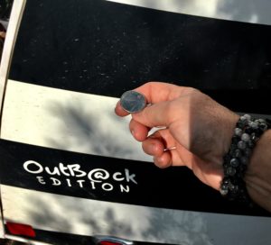 Time to pull out the big guns and use a technique honed over eight years in the halls of MD Anderson Cancer Center. Call in my angels when stakes are life OR death high. Employ the hallowed Coin Toss. Best two out of three wins. Heads means I go for it, tails I turn around and find a camp for the night.
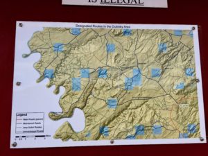 My best guess is I was in the Sheep Canyon area. GPS noted Mineral and Dead Horse Point Roads. I found an OHV trail map sign post indicating I was somewhere in the Dubinky area. Maybe The Canyon was a piece of Hell Roaring or Chicken Corners Trails. The coin toss occurred at the point requiring gate entry, is pinched between rocks on the right and the abyss on the left and drops over 1,000 feet via narrow, rocky, muddy switchbacks. Chicken Corners is where Moab area guides allow “chicken” passengers to walk, rather than ride. And Hell Roaring Canyon descriptions involve the word “pucker.”
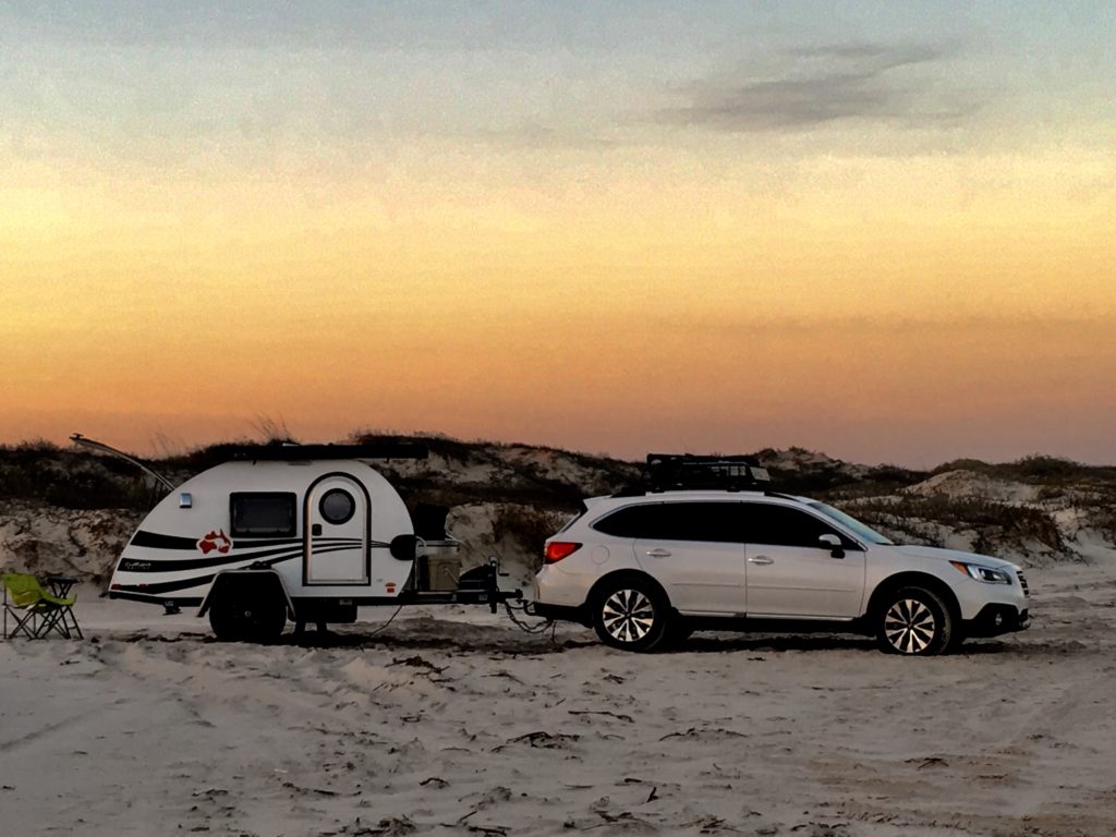
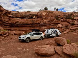 I probably have too much faith in Beverly (my Subaru Outback) but I think she’d make The Canyon. Pulling my Outback teardrop camper affectionally dubbed Hillbilly? Sheer lunacy.